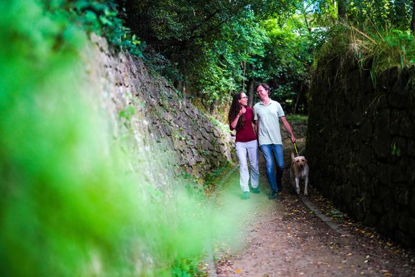
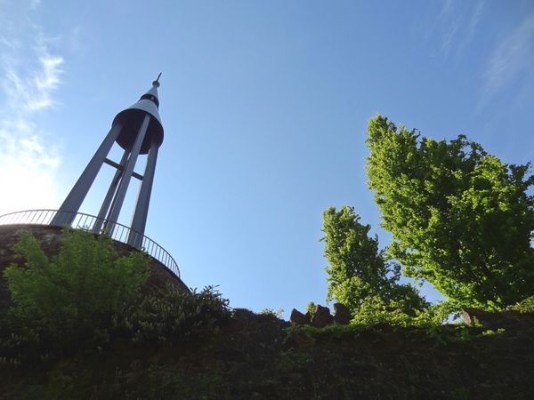
© Pulsa Pictures, ORT SUD
Minett Germany France

Discovery trail „Prënzebierg - Giele Botter"

Hunting Season 2025/26 — Check for hunts

Autumn is here, and that means hunting season has begun! From mid-October to January/February, hunters are active across the country. Stay safe by checking hunt dates in your area on our Map. 

Click on Map in the Header > Services > More > Hunting.

Starting point

Pétange Cemetery, rue Prinzenberg 4773 Pétange

Destination

Pétange Cemetery, rue Prinzenberg 4773 Pétange

Distance
7,64 km
Duration
2:10 h
Difficulty
medium
  • Condition
Highest point
403 Hm
Lowest point
325 Hm
Aggregated Ascent
230 Hm
Aggregated Descent
212 Hm
Thematic paths Visit Luxembourg

Description

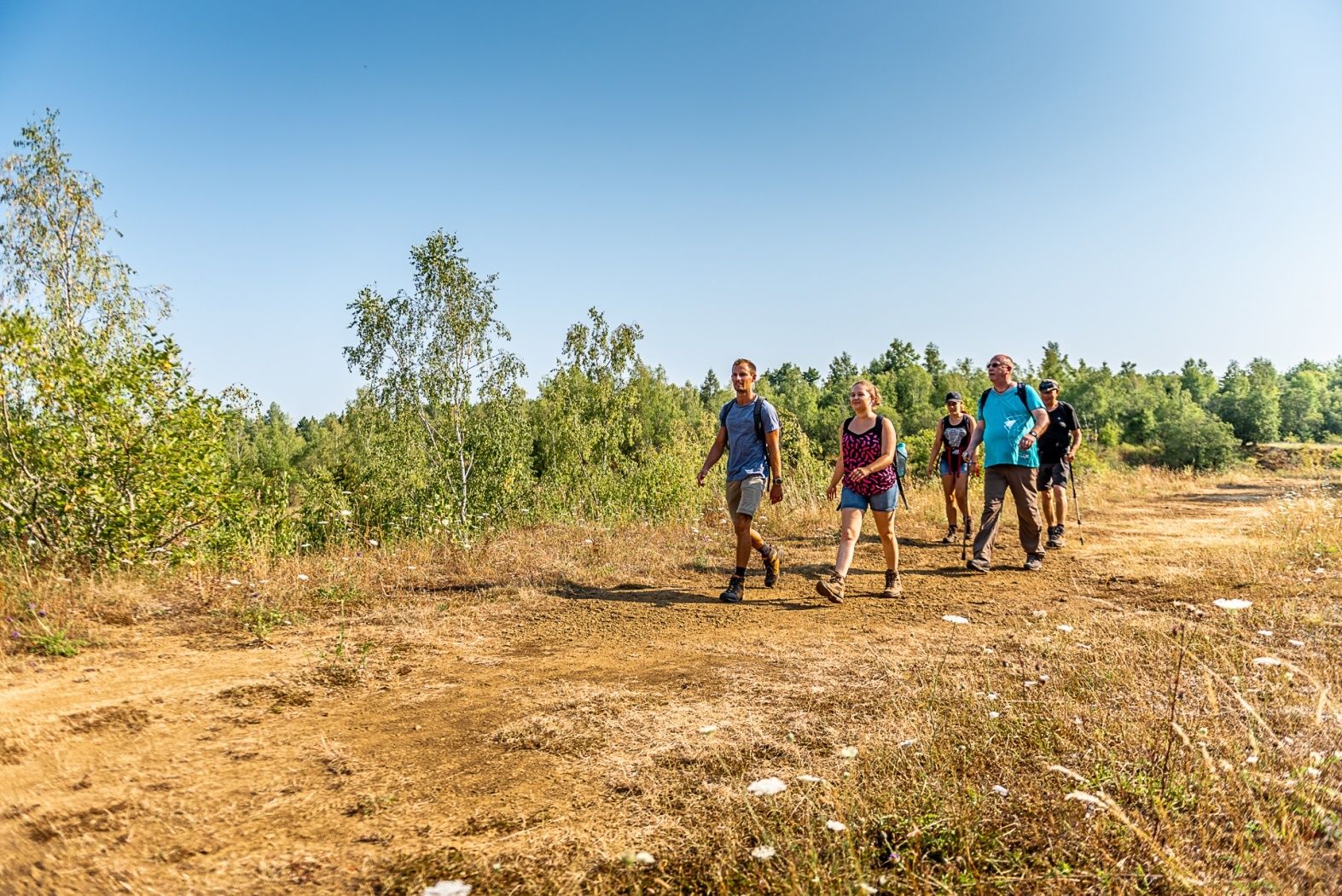
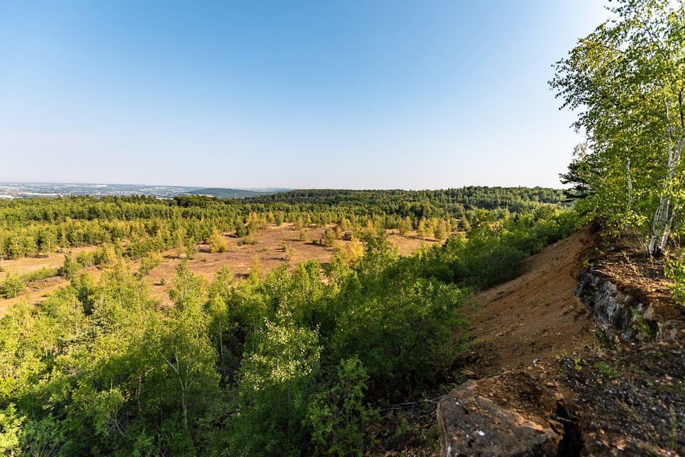
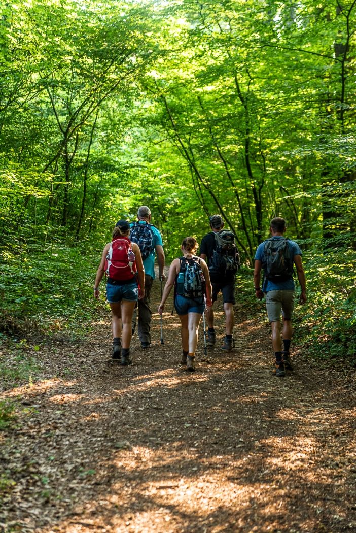
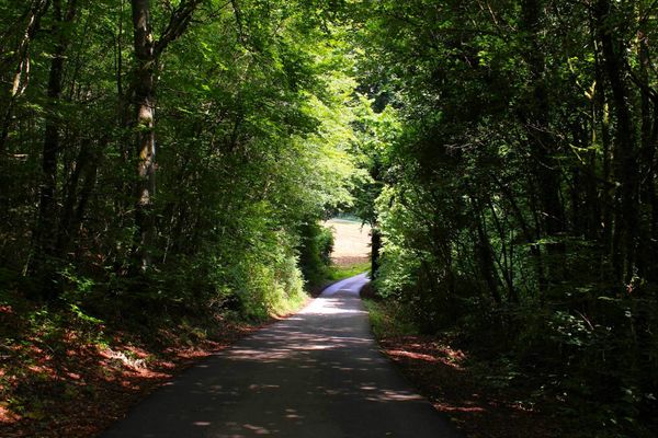
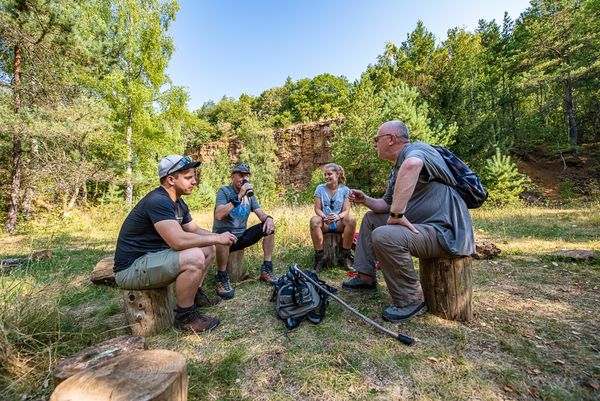
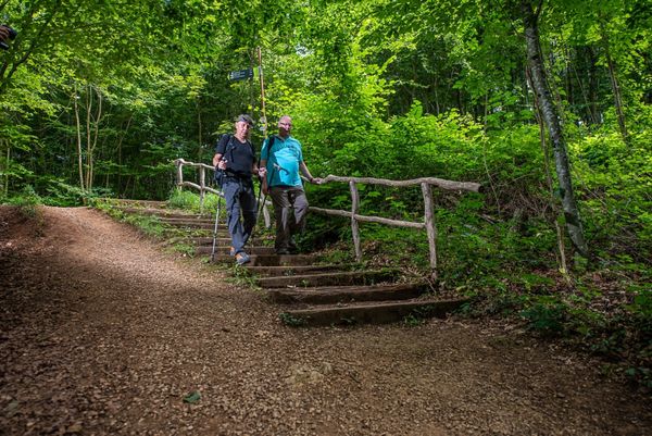
Hike over the "Prënzebierg" and the nature reserve "Giele Botter".

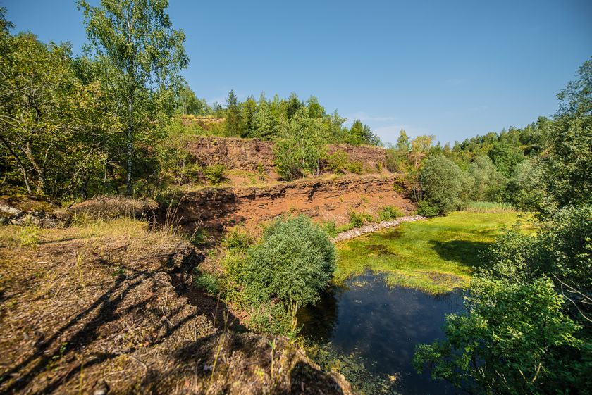
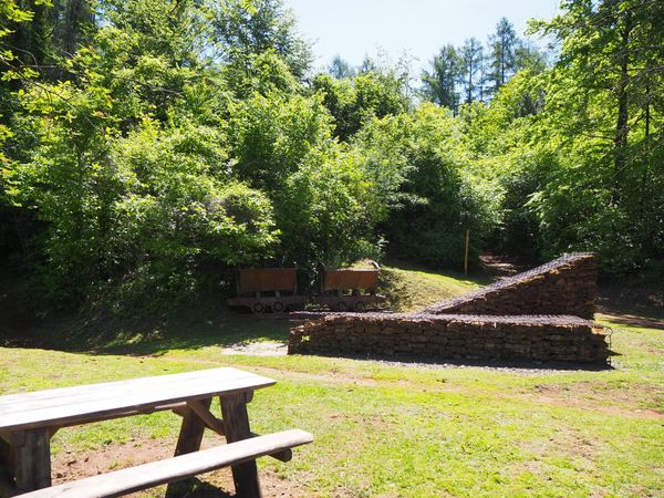
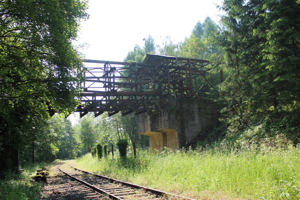
The discovery trail „Prënzebierg - Giele Botter“ takes you through an abandoned open-pit mining area in the "Land of Red Earth". At the time of ore mining, today's nature reserve was barren, the prevailing color red. After the minette mining was stopped, new types of habitats developed here. Today the area is characterized by vegetation and the color green as well as by the variety of different development stages and biotopes. Discover along your way along former routes, where „Buggies“ used to run, one and the same landscape from two different perspectives: be transported back to the time of ore mining, which shaped today's landscape, and explore various stages of vegetation development and observe the extremely diverse and rare flora and fauna of today's nature reserve.

© Administration Nature et Forêt

Suggestions nearby

Discovery trail „Prënzebierg - Giele Botter"

  • © Visit Luxembourg
    Titelberg - archaeological site
    An important site from Celtic times
    Find out more
  • © Pulsa Pictures & ORT Sud
    Nature reserve "Prënzebierg - Giele Botter"
    Nature has the final word
    Find out more

Similar hiking tours

© Gemeng Suessem
Naturléierpad Zolwerknapp
Distance: 1,01 km
Duration: 0:20 h
Difficulty: medium
Find out more
© ORT Sud
Circular routes
Auto-Pédestre route Rumelange - Walert
Distance: 8,89 km
Duration: 2:25 h
Difficulty: medium
Find out more
© Pulsa Pictures, ORT Sud
Circular routes
Auto-Pédestre route Rumelange - Gare
Distance: 6,84 km
Duration: 2:05 h
Difficulty: medium
Find out more
© Pulsa Pictures, ORT SUD
Circular routes
Auto-Pédestre route Pétange
Distance: 7,61 km
Duration: 2:05 h
Difficulty: medium
Find out more
© ORT Sud
Distance trails
23 Station to station Rumelange - Kayl
Distance: 12,57 km
Duration: 3:25 h
Difficulty: medium
Find out more
© Pulsa Pictures, ORT SUD
Minett Trail
Minett Trail: Schifflange Train Station - Bergem / Beim Nëssert
Distance: 6,12 km
Duration: 1:40 h
Difficulty: medium
Find out more
© Pulsa Pictures, ORT SUD
Circular routes
Circular route "Circuit transfrontalier de la Minette"
Distance: 9,54 km
Duration: 2:35 h
Difficulty: medium
Find out more
© ORT Sud
Circular routes
Auto-Pédestre route Schifflange
Distance: 7,65 km
Duration: 2:15 h
Difficulty: medium
Find out more
© ORT Sud
Circular routes
Haard-Hesselsbierg-Staebierg educational trail, S2
Distance: 9,77 km
Duration: 2:55 h
Difficulty: medium
Find out more
outdooractive This website uses technology and content from the Outdooractive Platform.