© ORT Sud
Minett Germany France

Auto-Pédestre hiking trail Rodange

Hunting Season 2025/26 — Check for hunts

Autumn is here, and that means hunting season has begun! From mid-October to January/February, hunters are active across the country. Stay safe by checking hunt dates in your area on our Map. 

Click on Map in the Header > Services > More > Hunting.

Starting point

Parking lot at Jos Philippart Stadium: Rue Jos Moscardo L-4824 Rodange

Destination

Parking lot at Jos Philippart Stadium: Rue Jos Moscardo L-4824 Rodange

Distance
7,80 km
Duration
2:10 h
Difficulty
medium
  • Condition
Highest point
391 Hm
Lowest point
279 Hm
Aggregated Ascent
170 Hm
Aggregated Descent
170 Hm
Circular routes Visit Luxembourg

Description

Kids & Family Refreshment stops available

Experience the forest and the former industry around Rodange.

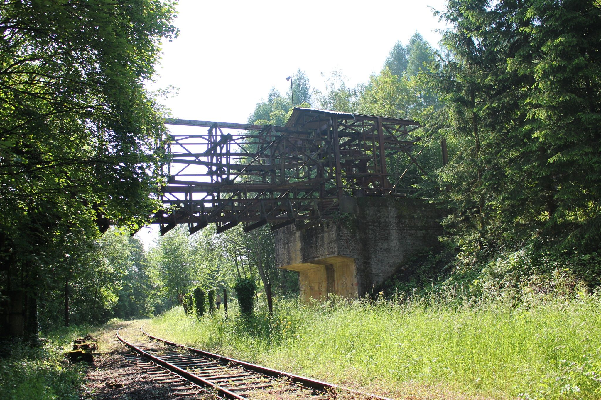
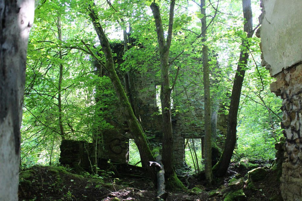
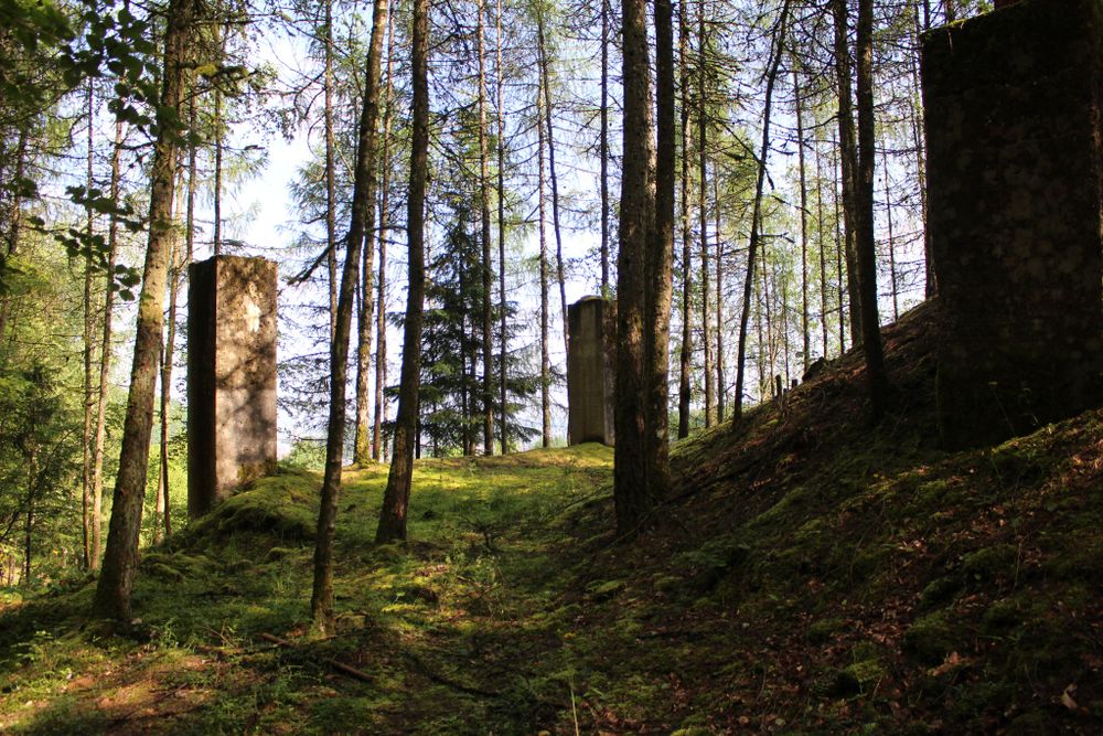
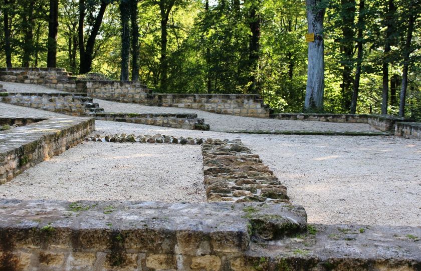
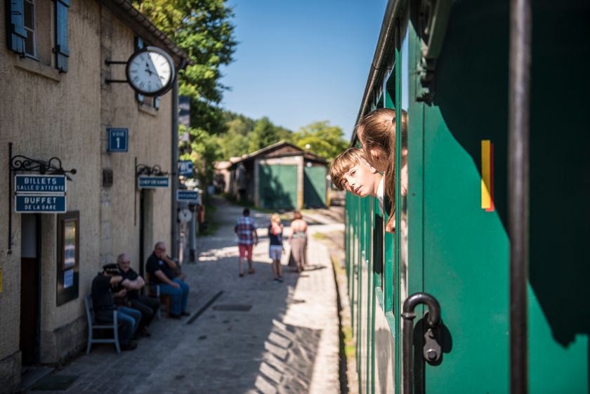
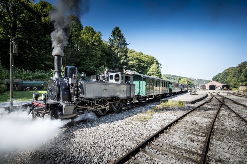
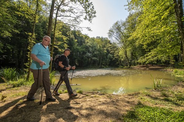
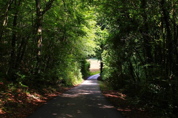
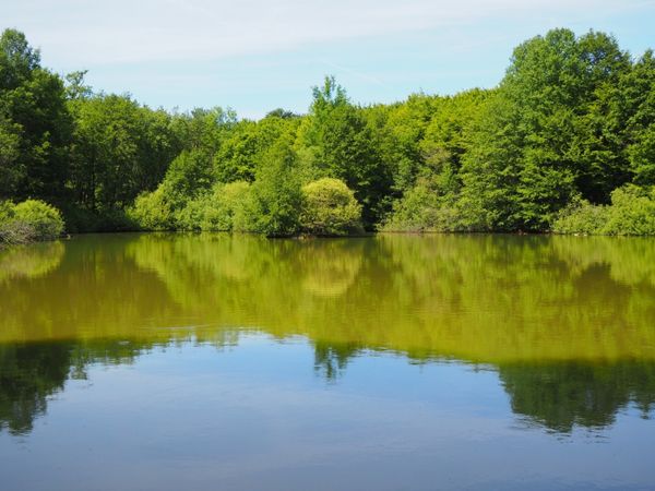
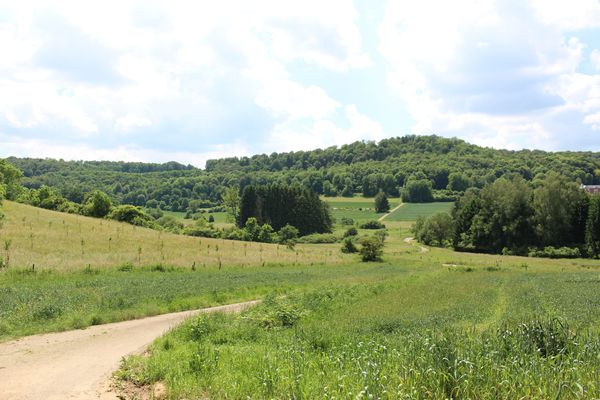
The Auto-Pédestre Rodange runs mostly through the forest and is thus ideal as a summer hike. In the summer months, you will certainly hear the hissing of a steam locomotive… a steam locomotive in the forest? Yes! The Train 1900 runs from Pétange via Rodange to Fond-de-Gras. You will also hike through this former industrial site. Today it is an open-air museum with much to discover.

Suggestions nearby

Auto-Pédestre hiking trail Rodange

  • © Pulsa Pictures
    Minett Park Fond-de-Gras
    The Minett Park Fond-de-Gras is an open-air museum that includes the Fond-de-Gras, the village of Lasauvage, the former open-cast mine of Giele Botter and the Celtic oppidum of Titelberg.
    Find out more
  • © Visit Luxembourg
    Titelberg - archaeological site
    An important site from Celtic times
    Find out more
  • © Pulsa Pictures
    Historical steam train "Train 1900"
    Fancy a journey back in time ?
    Find out more

Similar hiking tours

© Pulsa Pictures, ORT SUD
Thematic paths
Didactic trail "Natura 2000" - Ellergronn
Distance: 11,89 km
Duration: 3:10 h
Difficulty: medium
Find out more
© Gemeng Suessem
Naturléierpad Zolwerknapp
Distance: 1,01 km
Duration: 0:20 h
Difficulty: medium
Find out more
© ORT Sud
Circular routes
Crauthem nature trail
Distance: 6,18 km
Duration: 1:35 h
Difficulty: medium
Find out more
© ORT Sud
Circular routes
Auto-Pédestre hiking path Lamadelaine
Distance: 8,38 km
Duration: 2:25 h
Difficulty: medium
Find out more
© Pulsa Pictures, ORT SUD
Minett Trail
Minett Trail: Esch-sur-Alzette Gare - Tétange Gare
Distance: 11,95 km
Duration: 3:30 h
Difficulty: medium
Find out more
© Pulsa Pictures, Pulsa Pictures_ORT SUD
Minett Trail
Minett Trail: Rumelange Gare - Dudelange Gare
Distance: 10,74 km
Duration: 3:10 h
Difficulty: medium
Find out more
© Pulsa Pictures, ORT SUD
Minett Trail
Minett Trail: Schifflange Train Station - Bergem / Beim Nëssert
Distance: 6,12 km
Duration: 1:40 h
Difficulty: medium
Find out more
© Pulsa Pictures, ORT SUD
Thematic paths
Educational trail “Ellergronn"
Distance: 3,24 km
Duration: 0:55 h
Difficulty: medium
Find out more
© Pulsa Pictures, ORT SUD
Circular routes
Circular route "Circuit transfrontalier de la Minette"
Distance: 9,54 km
Duration: 2:35 h
Difficulty: medium
Find out more
outdooractive This website uses technology and content from the Outdooractive Platform.