© Pulsa Pictures_ORT SUD

Hiking & Walking

A walk for all seasons

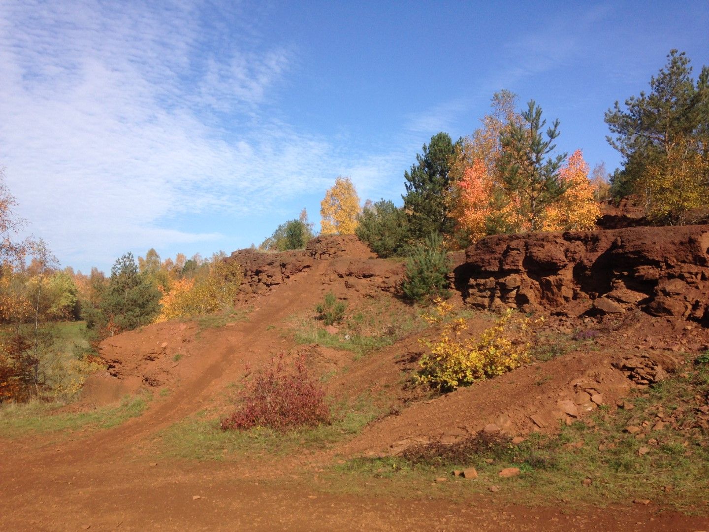
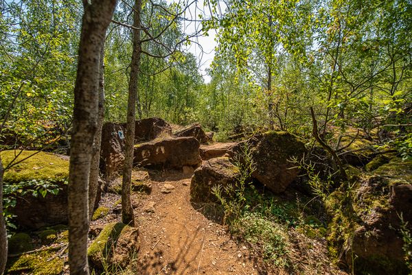
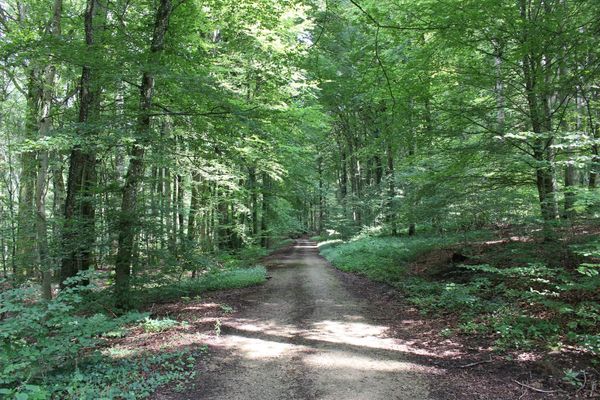
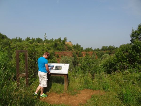
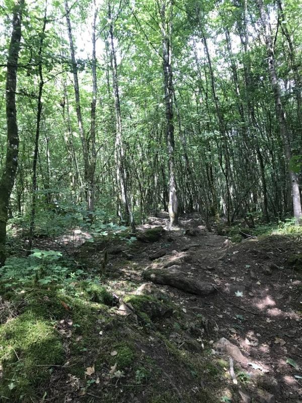
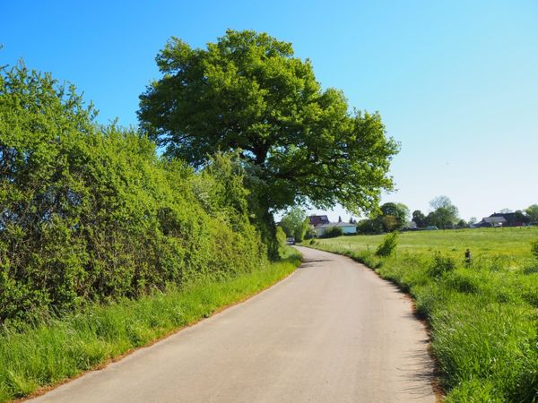
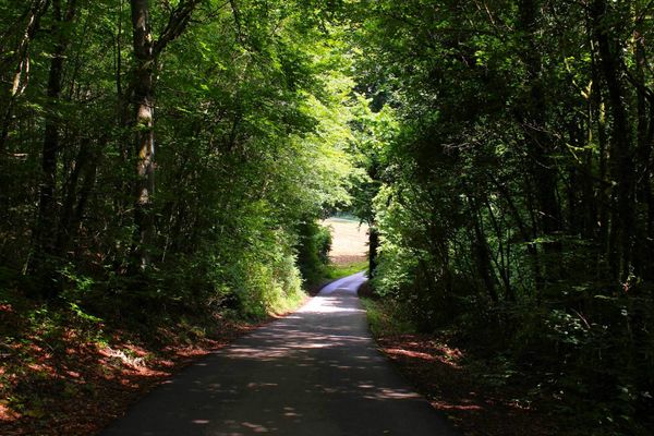
Welcome to the enchanting Minett region, where nature’s beauty unfolds across every season. Our hiking trails offer a diverse landscape, inviting explorers to discover the rich flora, scenic vistas, and hidden gems unique to each time of year. Whether you're seeking the tranquility of lush forests, meadows and flowers in full bloom, the refreshing shade of forests during the heat of the summer, the vibrant colors of changing leaves, or the serene blanket of snow, our trails promise an unforgettable adventure. Embrace the outdoors and let each step reveal the natural wonders of this captivating region.
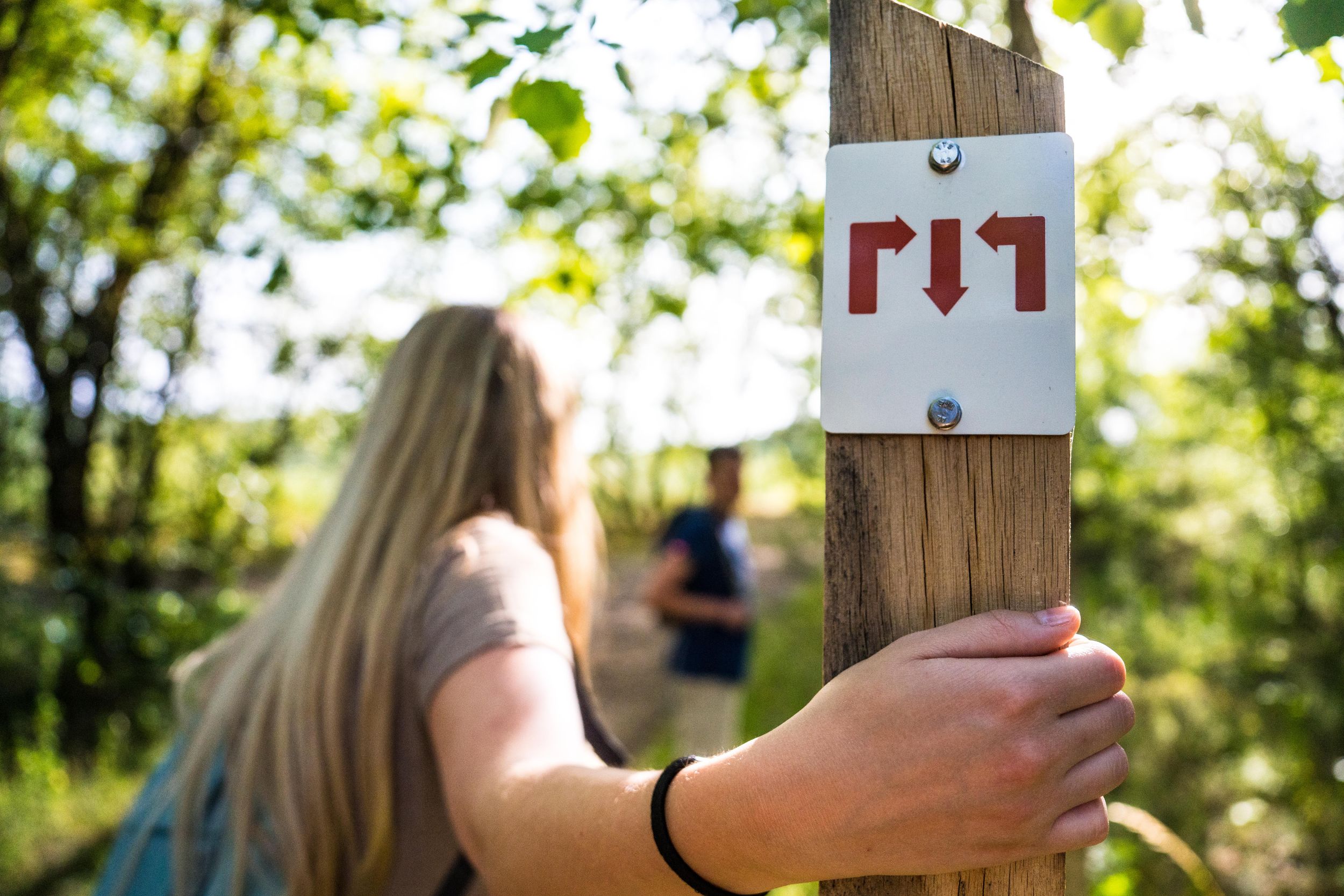
These boots are made for hiking...

From Clemency to Dudelange or to Bettembourg, the Minett region offers exceptional hiking opportunities through the heart of the land of the Red Rocks: Circular walks, thematic hikes, short and long distance trails, accessible walks and the regional multistage hiking trail Minett Trail - there's something for everyone.

Filter Schließen
Filter

Type

Type

Location (Write in)

Location (Write in)

Distance

Distance

Difficulty

Difficulty
Fewer filters
More filters
77 results
© Pulsa Pictures, ORT SUD
Thematic paths
National hiking trail "Sentier des Mineurs"
Distance: 29,16 km
Duration: 8:10 h
Difficulty: medium
Find out more
© Pulsa Pictures, ORT SUD
Circular routes
Trail "Um Réimerwee"
Distance: 9,29 km
Duration: 2:40 h
Difficulty: medium
Find out more
© ORT Sud
Thematic paths
Didactic Path "Den Apel"
Distance: 0,42 km
Duration: 0:05 h
Difficulty: easy
Find out more
© Visit Luxembourg
Distance trails
30 Station to station Oberkorn - Fond de Gras - Rodange
Distance: 17,78 km
Duration: 5:00 h
Difficulty: medium
Find out more
© Pulsa Pictures, ORT SUD
Circuit transfrontalier de l'Acier
Distance: 21,50 km
Duration: 5:50 h
Difficulty: medium
Find out more
© ORT Sud
Circular routes
Didactic trail Haard-Hesselsbierg-Staebierg, S2
Distance: 9,78 km
Duration: 3:00 h
Difficulty: medium
Find out more
© Pulsa Pictures, Pulsa Pictures_ORT Sud
Minett Trail
Minett Trail: Tétange Gare - Rumelange Gare
Distance: 7,73 km
Duration: 2:15 h
Difficulty: easy
Find out more
© Pulsa Pictures, ORT SUD
Distance trails
26 Station to station Esch-sur-Alzette - Belvaux-Soleuvre
Distance: 9,05 km
Duration: 2:30 h
Difficulty: medium
Find out more
© Pulsa Pictures, ORT SUD
Minett Trail
Minett Trail: Esch-sur-Alzette Gare - Tétange Gare
Distance: 11,95 km
Duration: 3:25 h
Difficulty: medium
Find out more
© ORT Sud
Minett Trail
Minett Trail: Pétange Gare - Differdange Gare
Distance: 15,70 km
Duration: 4:35 h
Difficulty: medium
Find out more
© ORT Sud
Distance trails
29 Station to station Niederkorn - Rodange
Distance: 10,12 km
Duration: 2:55 h
Difficulty: medium
Find out more
© ORT Sud
Circular routes
Auto-pédestre trail Mondercange
Distance: 7,54 km
Duration: 1:50 h
Difficulty: medium
Find out more
© Pulsa Pictures, ORT SUD
Circular routes
Didactic trail Haard-Hesselsbierg-Staebierg, S1
Distance: 11,25 km
Duration: 3:05 h
Difficulty: medium
Find out more
© ORT Sud
Circular routes
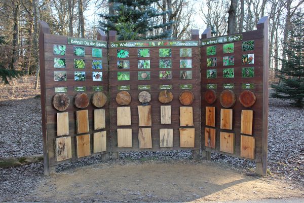
Forest educational trail Crauthem
Distance: 6,18 km
Duration: 1:40 h
Difficulty: easy
Find out more
© MNR
Thematic paths
Memorial Walk Esch
Distance: 5,76 km
Duration: 1:25 h
Find out more