Description
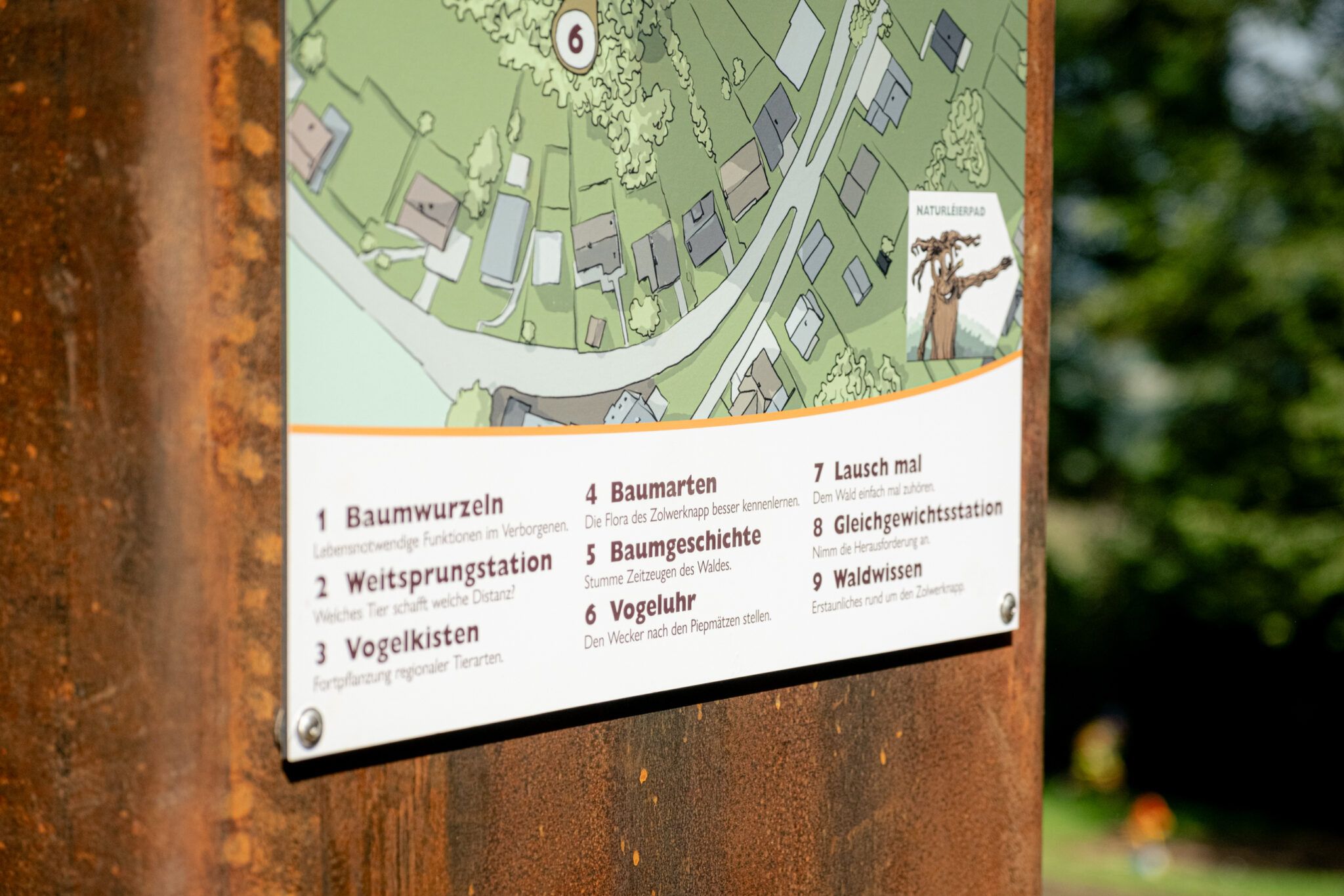
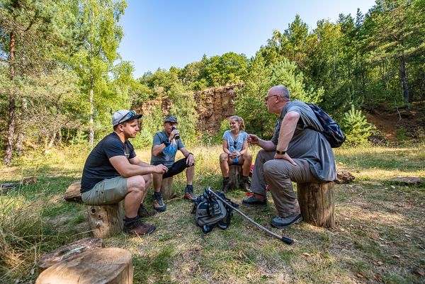
On July 31, 2024, the nature trail "Naturléierpad" at Zolwerknapp in Soleuvre was officially inaugurated. On the ascent to the summit, visitors discover several exciting stations designed to arouse curiosity and encourage interaction. Special attention was given to children, who will benefit from a wealth of information about the local flora and fauna.
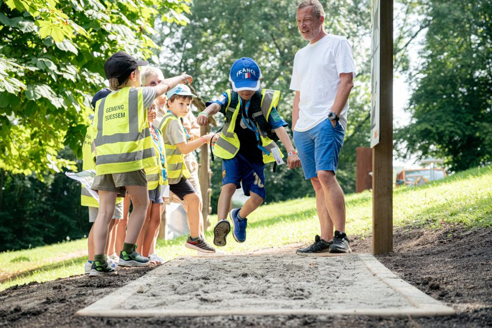
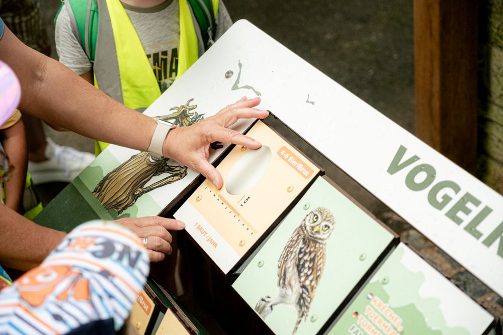
For example, they learn about the different tree species and their roots as well as the most important bird species in the region, which differ not only by their songs but also by the exact timing of their songs before dawn. In addition, visitors can compete against animals in long jump, listen to the whispering of the forest, and take a journey back in time to the era of the "Buurg Zolwer".
Directions
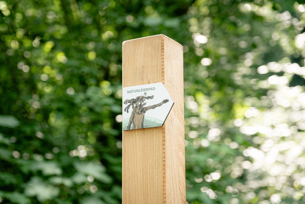
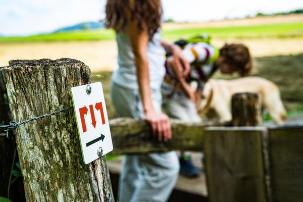
Along the way, you will encounter several stations with display panels that explain more about the location and nature. Follow the digital route description from station to station, a total of 9 steps. The path is not individually signposted.
Journey
Bus stop "Soleuvre, Pl.de l'Indépendance" is a little more than 500 meters from the starting point. From here, bus lines lead to Luxembourg City as well as to the towns of Esch-sur-Alzette and Differdange


 This website uses technology and content from the Outdooractive Platform.