Description
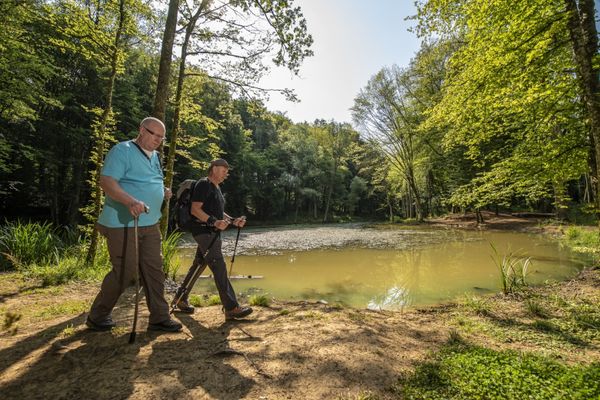
Hike around the old mining village of Rumelange on the Auto-Pédestre route Rumelange - Gare.
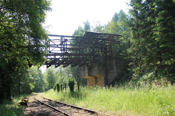
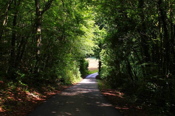
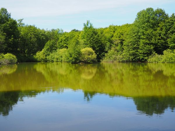
The Auto-Pédestre starts at the station in Rumelange, where you can decide whether to head straight towards nature or spend a little more time in the town of Rumelange. If you initially choose the green option, you enter the Haard-Hesselsbierg-Staebierg nature reserve, the largest in Luxembourg. Here you will witness former mining waste heaps and see the red of the iron ore. The path mainly runs through the forest, but you will also be back in the hustle and bustle of the town in no time.
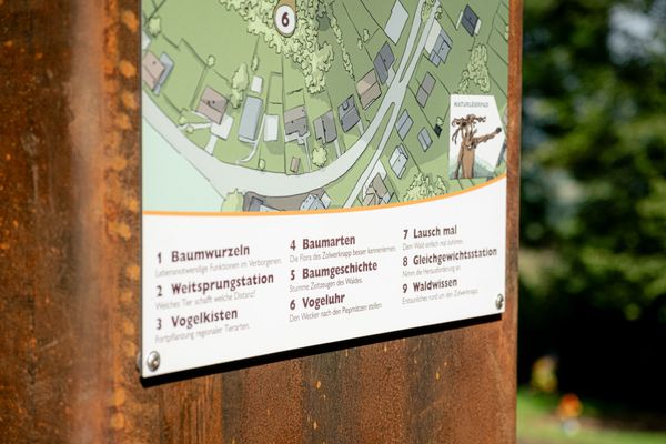
Signposting
Directions
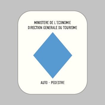
Please follow the signage with the blue diamond on a white background. The route is marked in both directions.
For your safety
Please remember to bring enough food and drinking water.
Equipment
Please remember to bring enough food and drinking water.
Journey
Bus: Rumelange, Gare routière
Train: Rumelange Gare
Parking:
Parking available on site.


 This website uses technology and content from the Outdooractive Platform.