Description
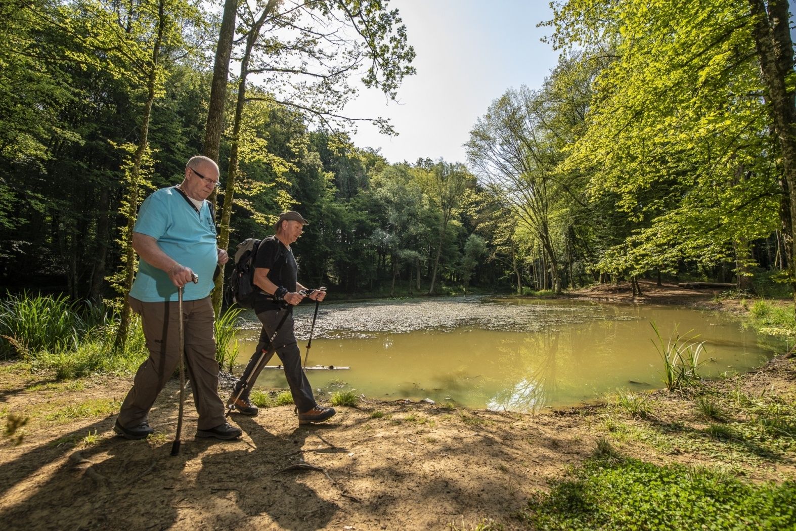
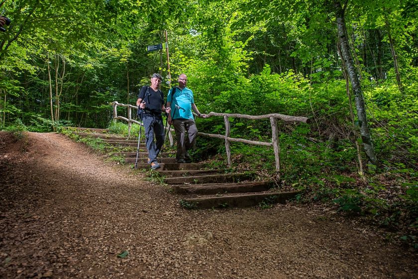
Daydreams of a lonely walker?
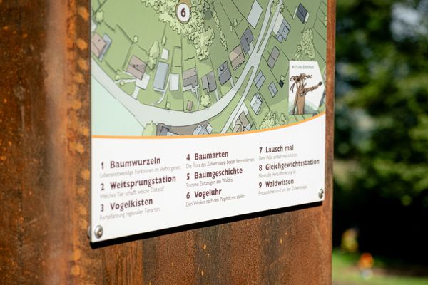
Everyone can find their happiness on the Natura 2000 Ellergronn educational trail. It is divided into three different loops, each assigned a specific theme.
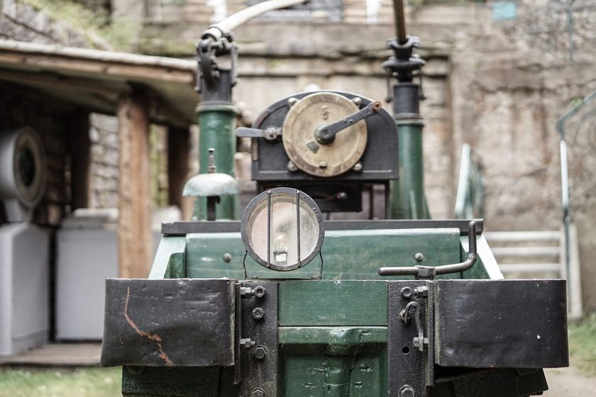
The shortest loop begins at the animal shelter and stretches over 2.5 km. It is ideal for inexperienced hikers or families with young children and deals with nature and its relationship to the former open-cast mining areas. Here you can observe well how nature, despite human intervention, continually gains the upper hand. After mining was stopped several decades ago, nature reclaimed the area.
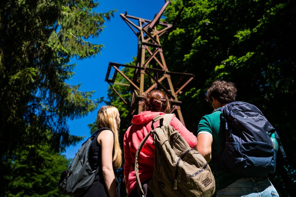
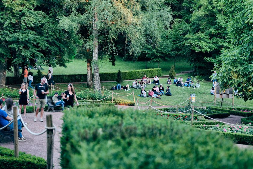
The second loop, 4.5 km long, begins in Gaalgebierg Park and deals with the use of ore mining areas then and now.
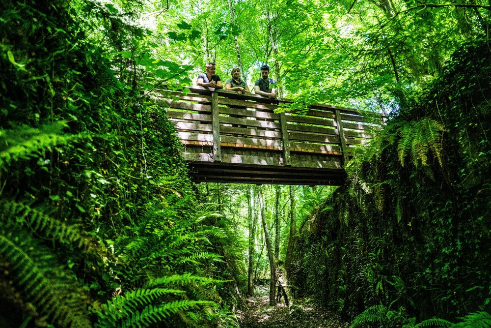
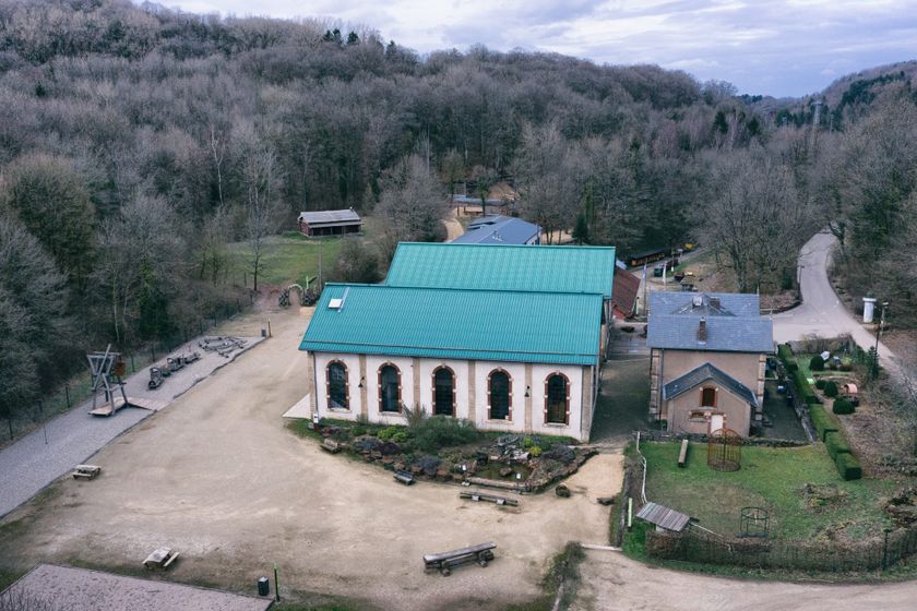
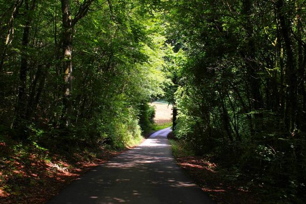
The third loop, which starts at the Ellergronn nature conservation center, is the longest. It leads mainly through the forest over 5 km and questions humanity's relationship with the forests.
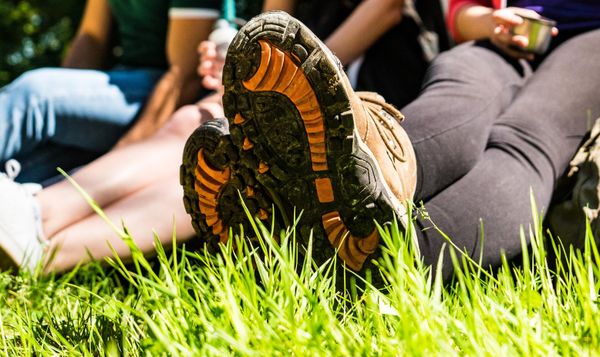
The most motivated walkers can (as shown in this route) connect all three loops and fully enjoy their hiking passion over 12 km. A great opportunity to let your thoughts wander and enjoy nature!
Directions
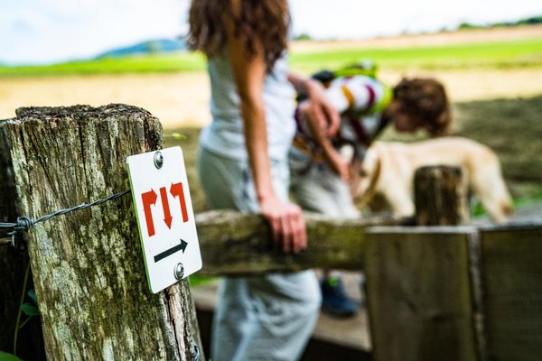
Please follow the signage with the bat; it is marked in different colors according to the routes. The correct color can be found on the website https://environnement.public.lu/fr/natur-erliewen/sentiers-nature/sud/natura2000_esch.html
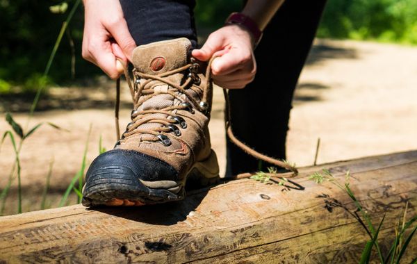
Equipment
Remember to bring sufficient food and drinking water
Journey
You can travel by bus number 12 to the bus stop "Place Pierre Ponath".
Getting there:
Follow the signs "Centre Nature et Forêt Ellergronn" within Esch-sur-Alzette.
Parking:
Parking is available on-site near the starting point.

 This website uses technology and content from the Outdooractive Platform.