Description
Hike on the Auto-Pédestre route Differdange-Lasauvage.
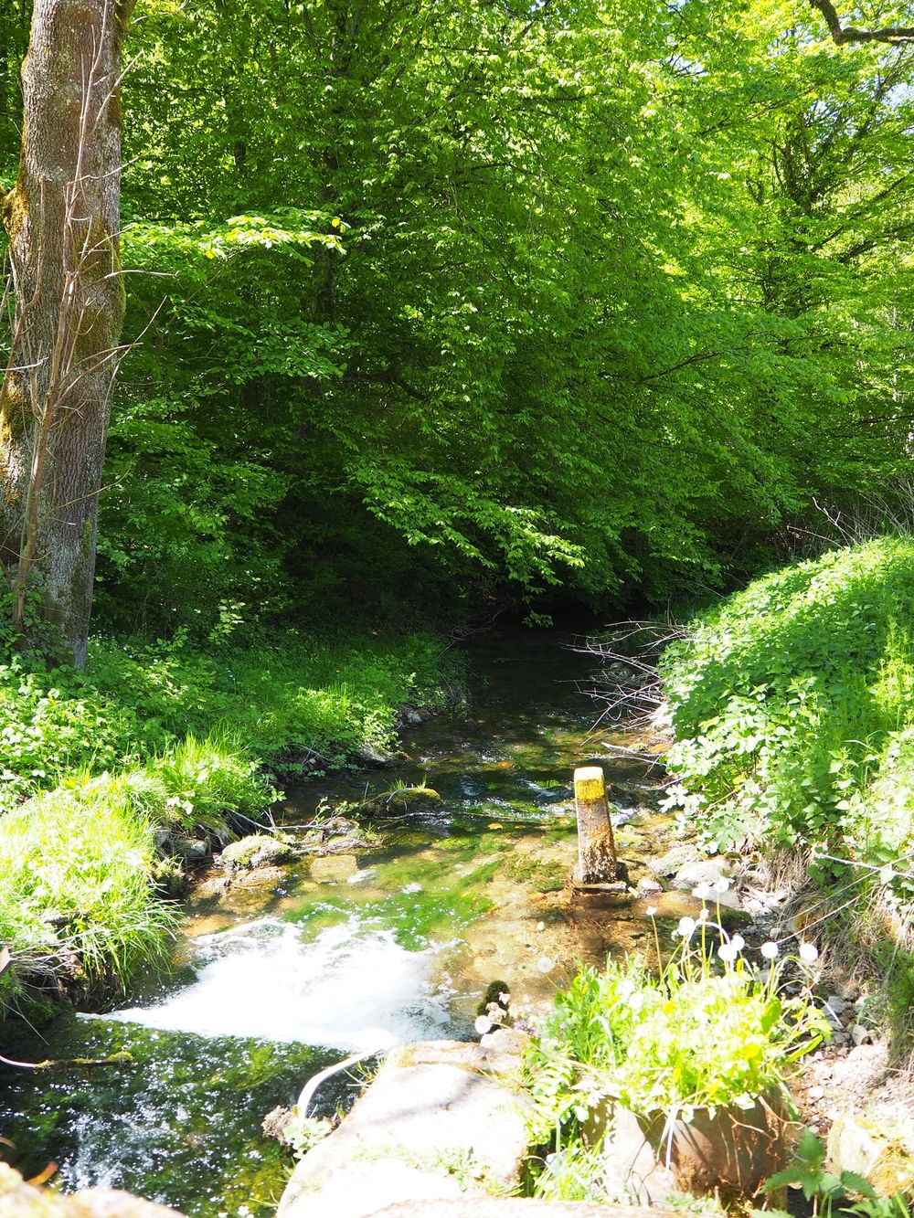
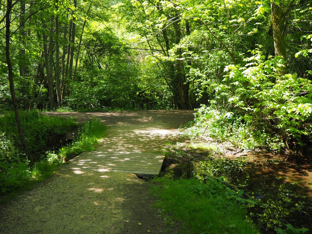
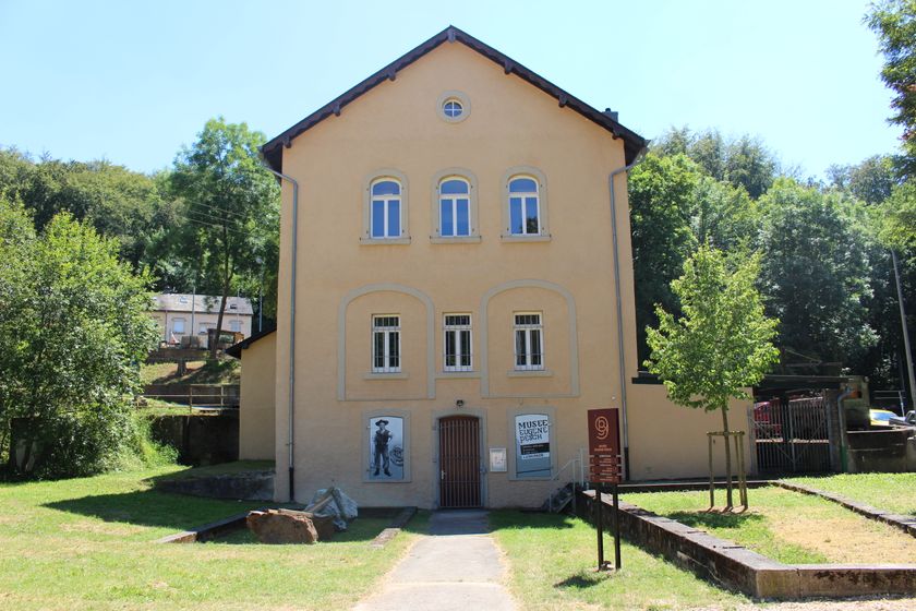
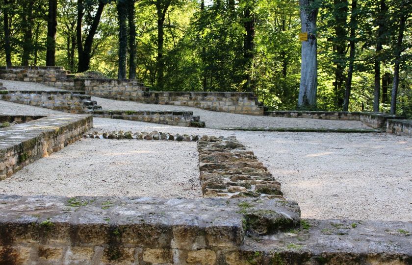
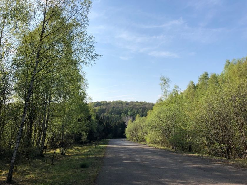
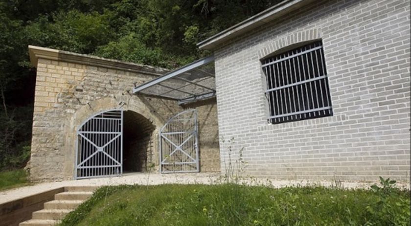
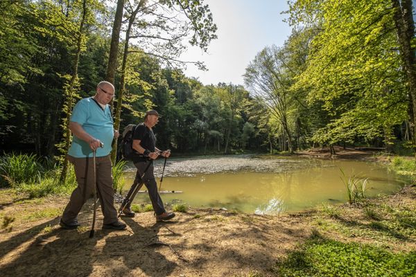
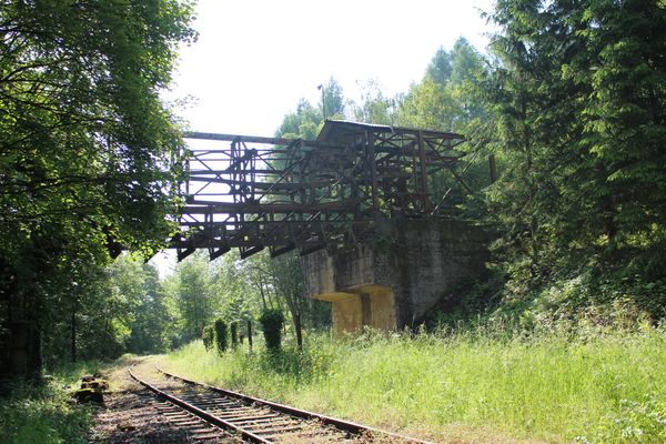
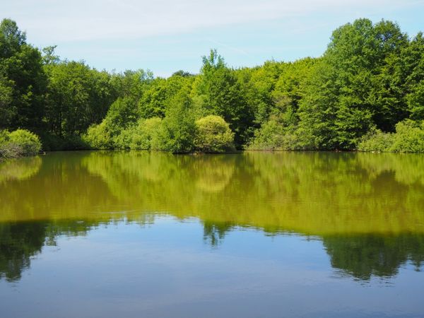
The route starts in Lasauvage, not far from the La Sauvage hiking hut. Since the route is marked in both directions, you can either hike towards the ponds in Lasauvage or through the gardens of the nature school. You will come across some relics of the former iron ore industry.
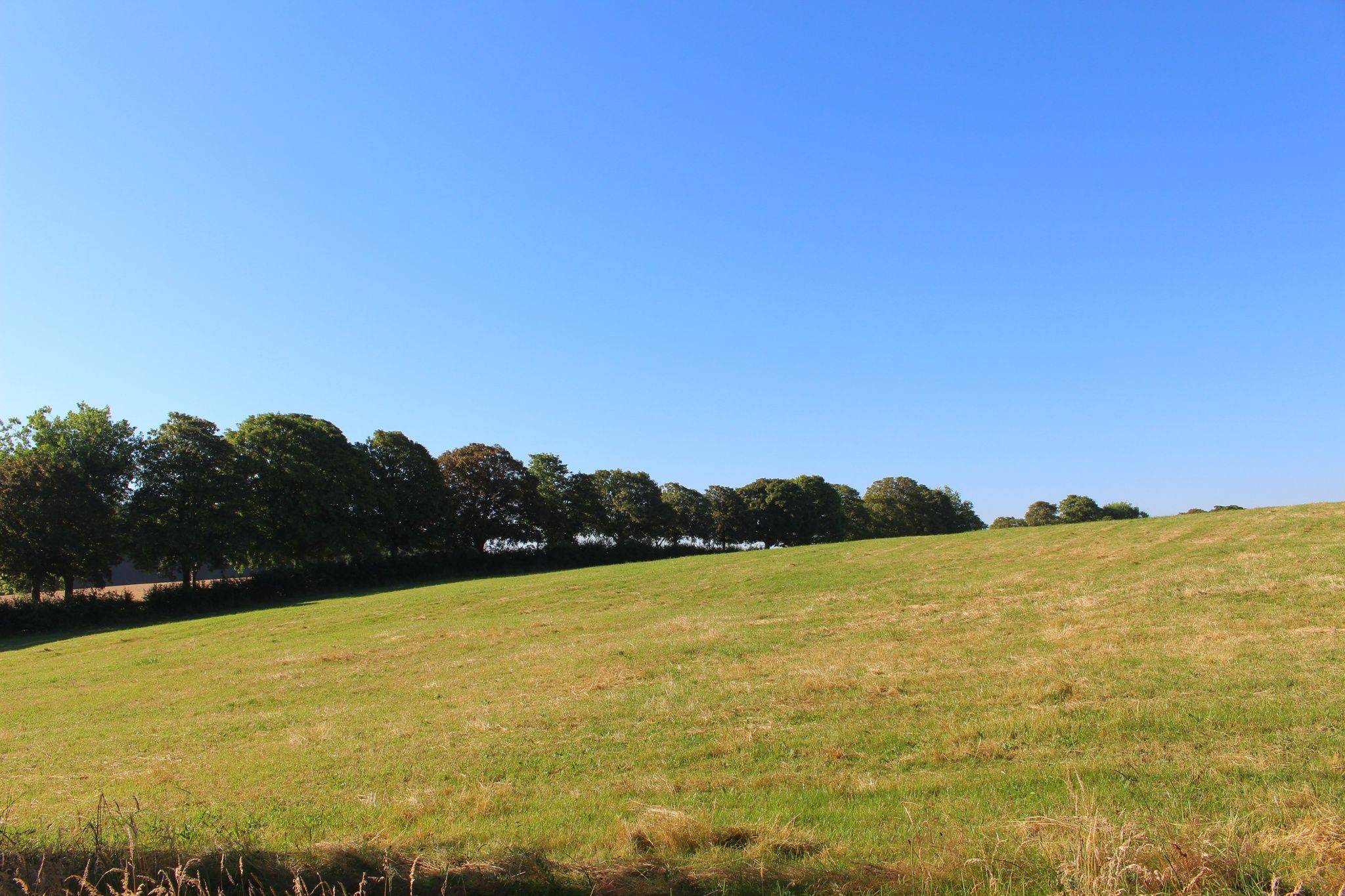
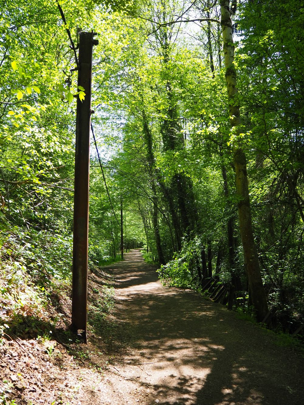
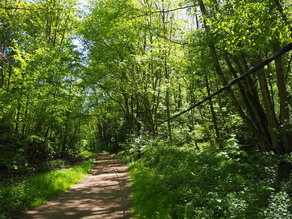
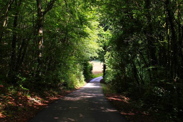
For the most part, the route goes through the forests, providing a nice refreshment in summer. The 10-kilometer long route is very demanding, as there are some elevation meters to overcome.
Directions
Please follow the signposts with the blue lozenge on a white background. The route is marked in both directions.
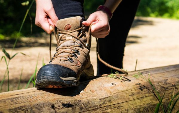
Equipment
Please remember to bring enough food and drinking water
Journey
The bus stop "Lasauvage Schoul" is 60m from the starting point.
Parking:
Public parking serves as the starting point


 This website uses technology and content from the Outdooractive Platform.