©Visit Luxembourg
Minett Germany France

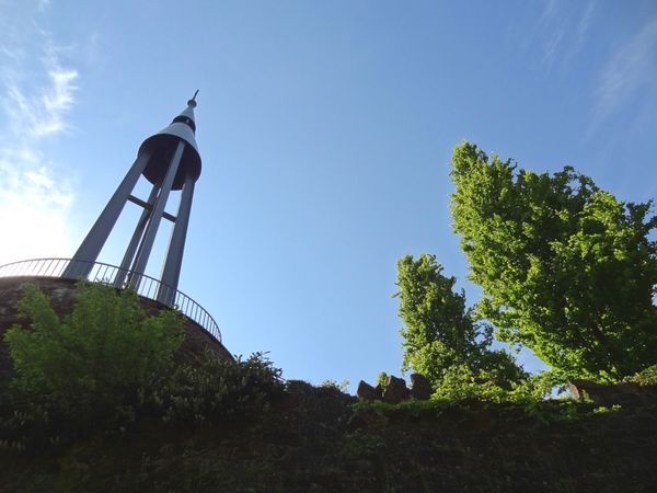
30 Station to station Oberkorn - Fond de Gras - Rodange

Hunting Season 2025/26 — Check for hunts

Autumn is here, and that means hunting season has begun! From mid-October to January/February, hunters are active across the country. Stay safe by checking hunt dates in your area on our Map. 

Click on Map in the Header > Services > More > Hunting.

Starting point

Oberkorn station

Destination

Rodange station

Distance
17,78 km
Duration
5:00 h
Difficulty
medium
  • Condition
Highest point
424 Hm
Lowest point
268 Hm
Aggregated Ascent
384 Hm
Aggregated Descent
434 Hm
Distance trails Visit Luxembourg

Description

Hike from station to station, from Oberkorn via Fond-de-Gras to Rodange

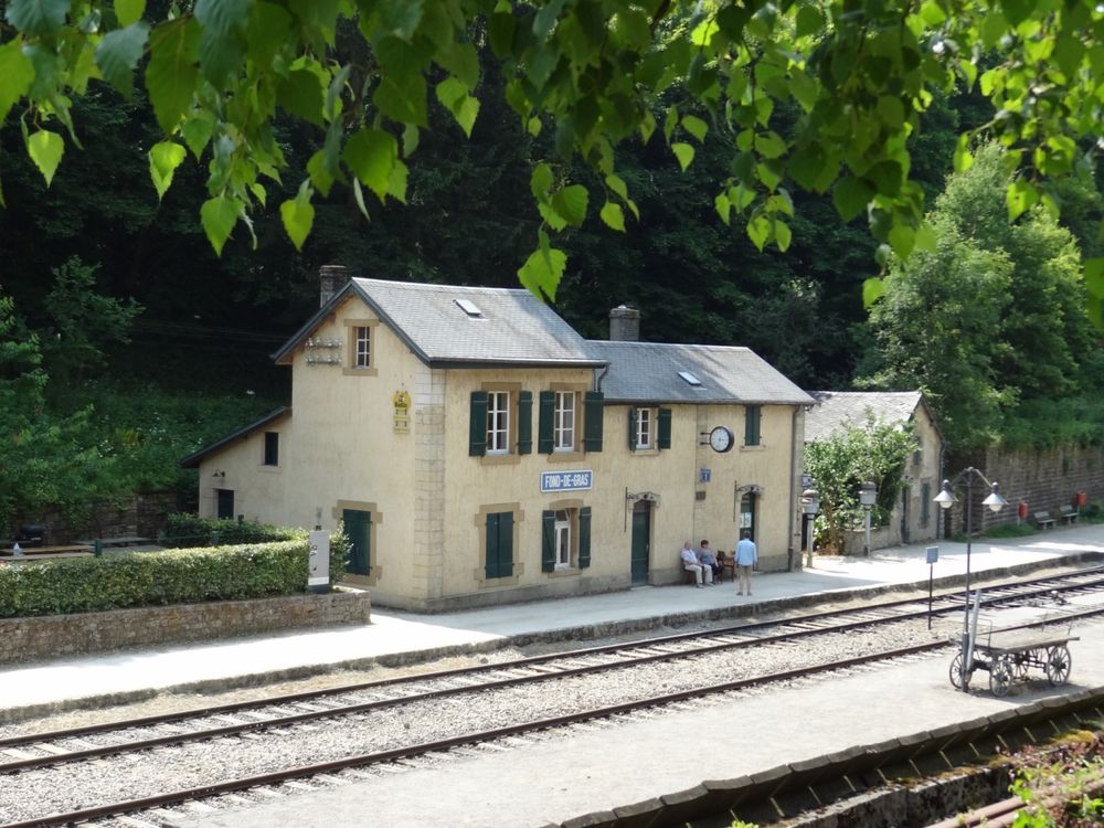
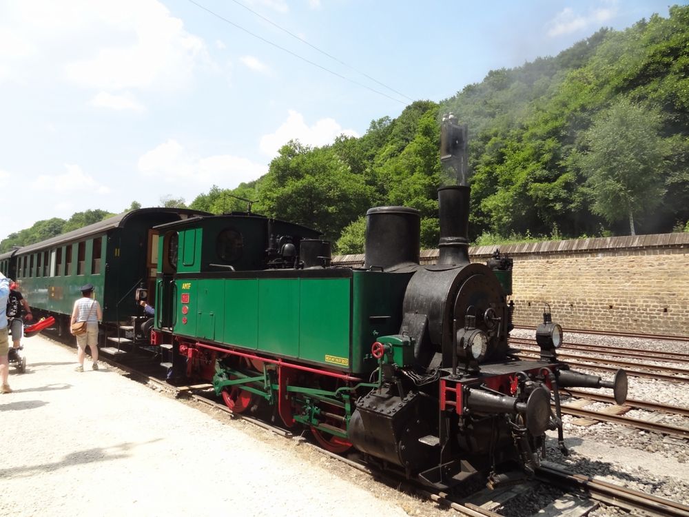
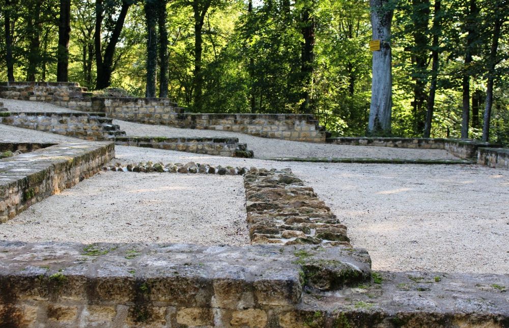
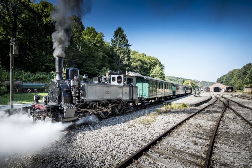
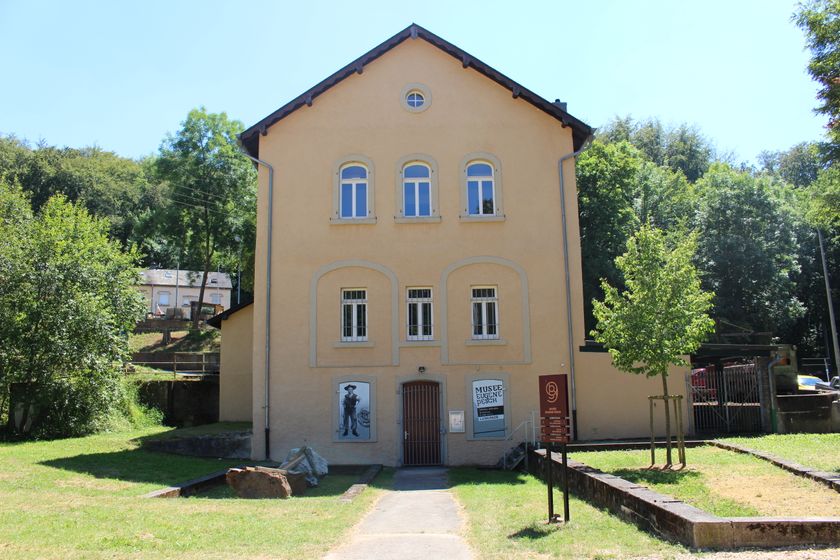
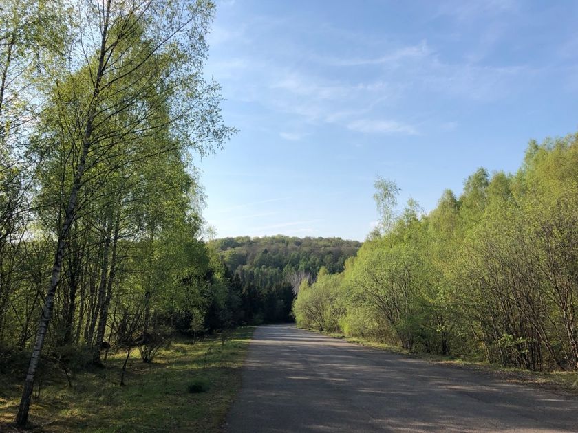
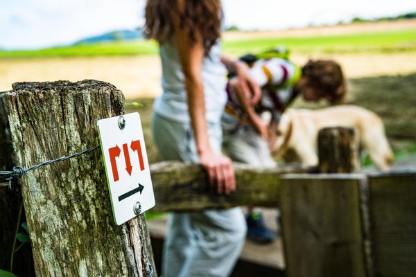
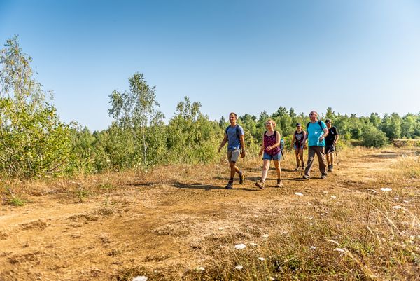
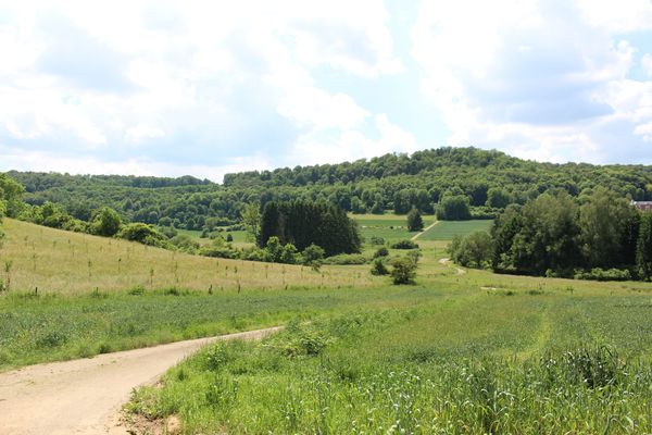
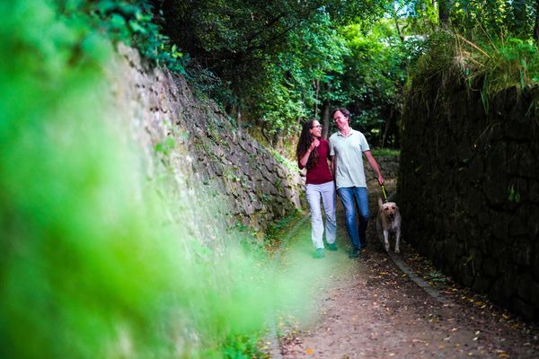
The route follows the national hiking trail Sentier du Sud to the French border, then the Sentier des Mineurs through an extensive forest area. At Roudenhaff, the path leaves the border and leads down to Fond-de-Gras with its interesting industrial and railway museum. The hiker circles the Têtelbierg with its interesting archaeological excavations and reaches the Rodange station via Lamadelaine.

© Editions Guy Binsfeld

Suggestions nearby

30 Station to station Oberkorn - Fond de Gras - Rodange

  • ©Pulsa Pictures
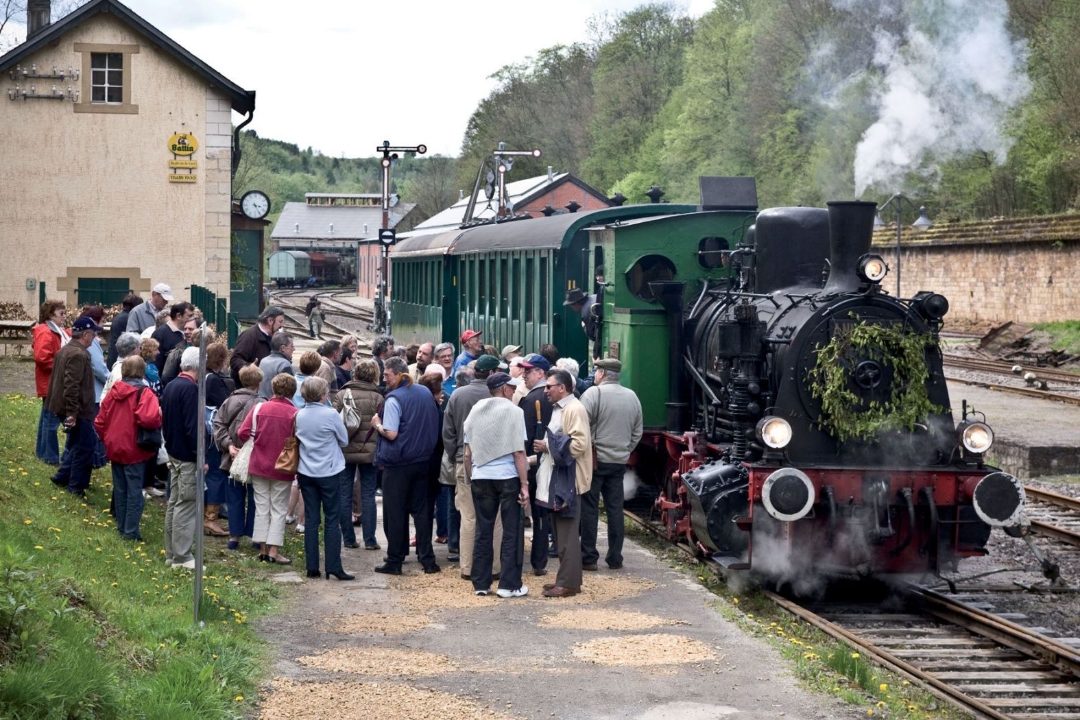
    Historical steam train "Train 1900"
    Fancy a journey back in time ?
    Find out more
  • ©Pulsa Pictures
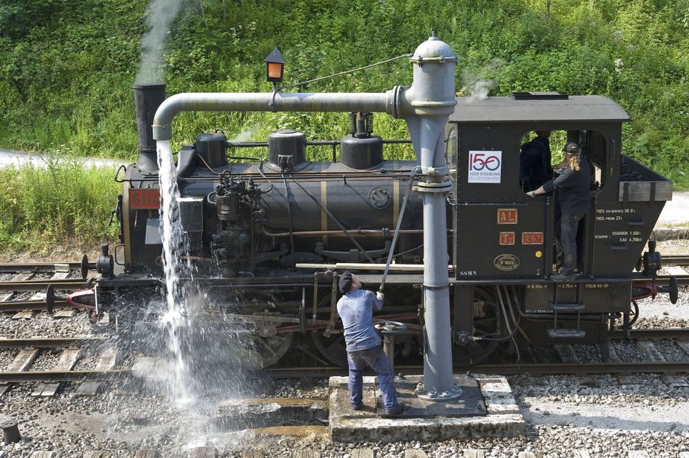
    Minett Park Fond-de-Gras
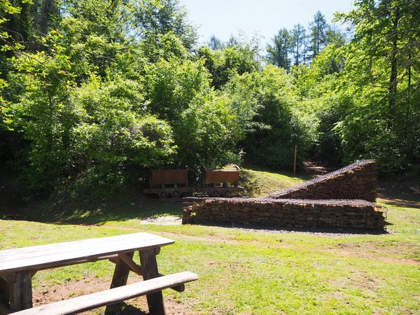
    The Minett Park Fond-de-Gras is an open-air museum that includes the Fond-de-Gras, the village of Lasauvage, the former open-cast mine of Giele Botter and the Celtic oppidum of Titelberg.
    Find out more
  • ©ORT Sud
    Eugène Pesch Museum Lasauvage
    Ready to rock?
    Find out more
  • Nature reserve "Kiemerchen / Scheiergronn / Groussebësch"
    Nature reserve "Kiemerchen / Scheiergronn / Groussebësch"
    Find out more
  • ©Restaurant Cui Lin
    Restaurant Cui Lin
    Restaurant Cuilin
    Find out more
  • ©Visit Luxembourg
    Titelberg - archaeological site
    An important site from Celtic times
    Find out more

Similar hiking tours

©Pulsa Pictures, ORT SUD
Thematic paths
Didactic path "Natura 2000" - Ellergronn
Distance: 11,89 km
Duration: 3:10 h
Difficulty: medium
Find out more
©Gemeng Suessem
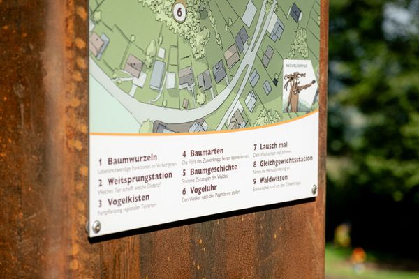
Didactic path "Zolwerknapp"
Distance: 1,01 km
Duration: 0:20 h
Difficulty: medium
Find out more
©ORT Sud
Circular routes
Auto-Pédestre trail Rumelange - Walert
Distance: 8,89 km
Duration: 2:25 h
Difficulty: medium
Find out more
©Pulsa Pictures, ORT SUD
Minett Trail
Minett Trail: Differdange Gare - Belval-Rédange Gare
Distance: 8,15 km
Duration: 2:15 h
Difficulty: medium
Find out more
©Pulsa Pictures, ORT Sud
Circular routes
Auto-Pédestre trail Rumelange - Gare
Distance: 6,84 km
Duration: 2:05 h
Difficulty: medium
Find out more
©Pulsa Pictures, ORT SUD
Circular routes
Didactic path „Prënzebierg - Giele Botter"
Distance: 7,64 km
Duration: 2:10 h
Difficulty: medium
Find out more
©Claude Piscitelli, Claude Piscitelli
Minett Trail
Minett Trail: Belval-Rédange Gare - Esch-sur-Alzette Gare
Distance: 6,35 km
Duration: 1:35 h
Difficulty: medium
Find out more
©Pulsa Pictures, Pulsa Pictures_ORT Sud
Minett Trail
Minett Trail: Tétange Gare - Rumelange Gare
Distance: 7,79 km
Duration: 2:10 h
Difficulty: medium
Find out more
©ORT Sud
Distance trails
23 Station to station Rumelange - Kayl
Distance: 12,57 km
Duration: 3:25 h
Difficulty: medium
Find out more
outdooractive This website uses technology and content from the Outdooractive Platform.