© © Claude Piscitelli / ONT, Visit Luxembourg
Minett Germany France

Geological route "Giele Botter"

Hunting Season 2025/26 — Check for hunts

Autumn is here, and that means hunting season has begun! From mid-October to January/February, hunters are active across the country. Stay safe by checking hunt dates in your area on our Map. 

Click on Map in the Header > Services > More > Hunting.

Starting point

Rue Titelberg, 4678 Differdange

Destination

Rue Titelberg, 4678 Differdange

Distance
2,91 km
Difficulty
easy
  • Condition
Highest point
400 Hm
Lowest point
351 Hm
Aggregated Ascent
49 Hm
Aggregated Descent
49 Hm
Thematic paths Visit Luxembourg

Description

Kids & Family

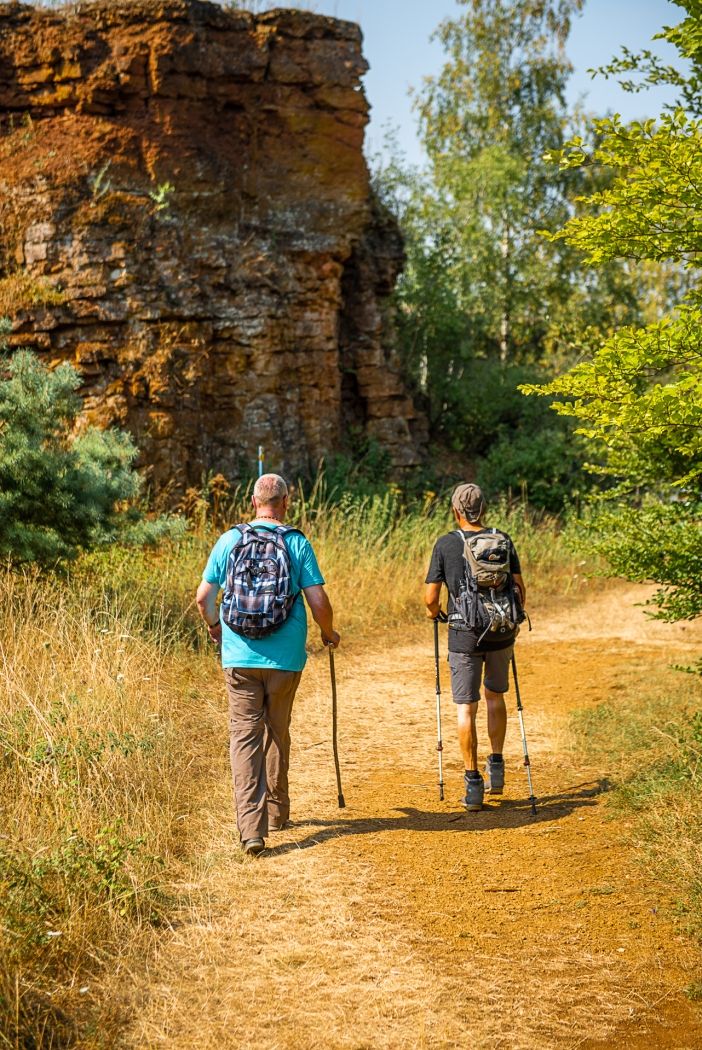
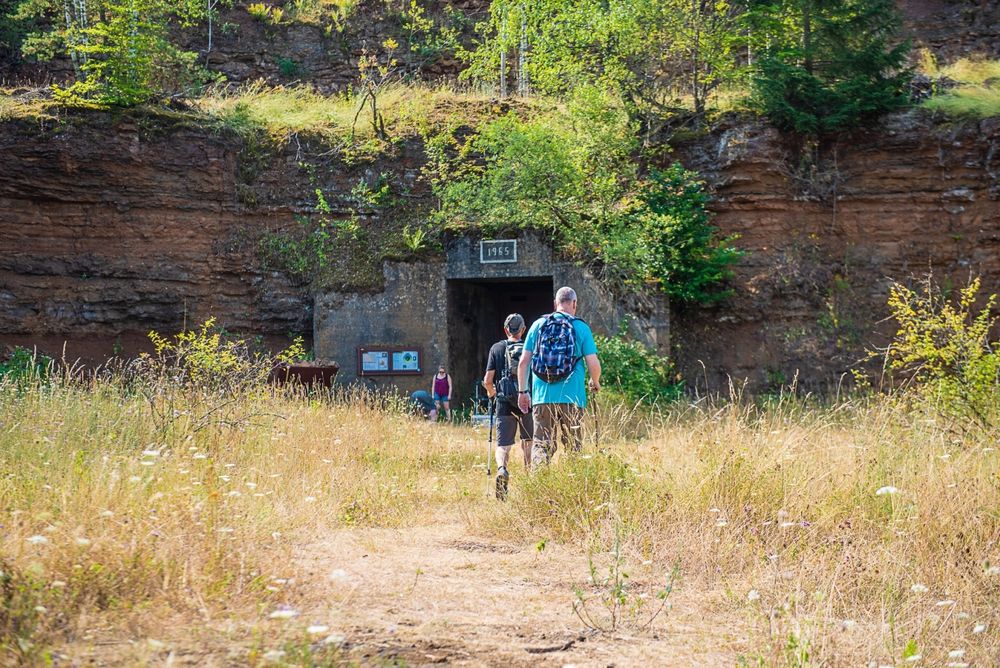
Discover the disused tunnels and the former open-pit mining area on the geological route "Giele Botter".

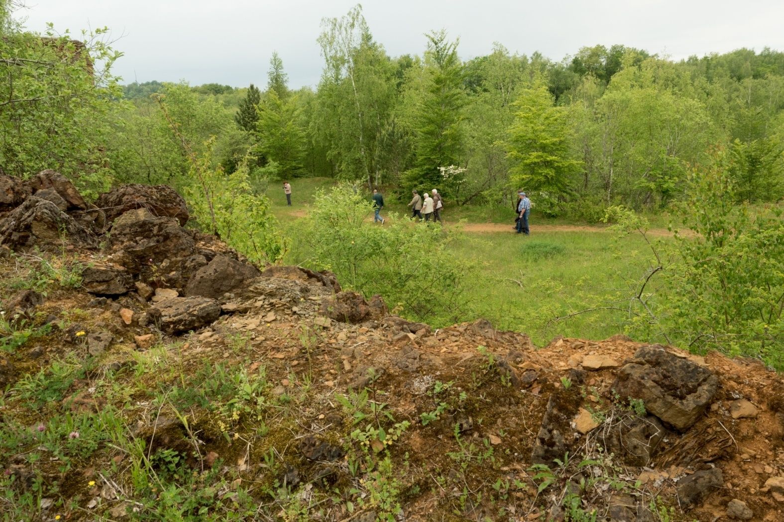
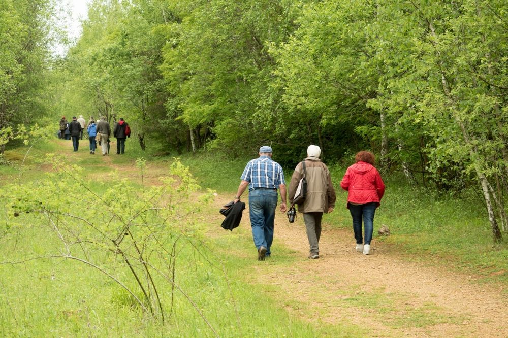
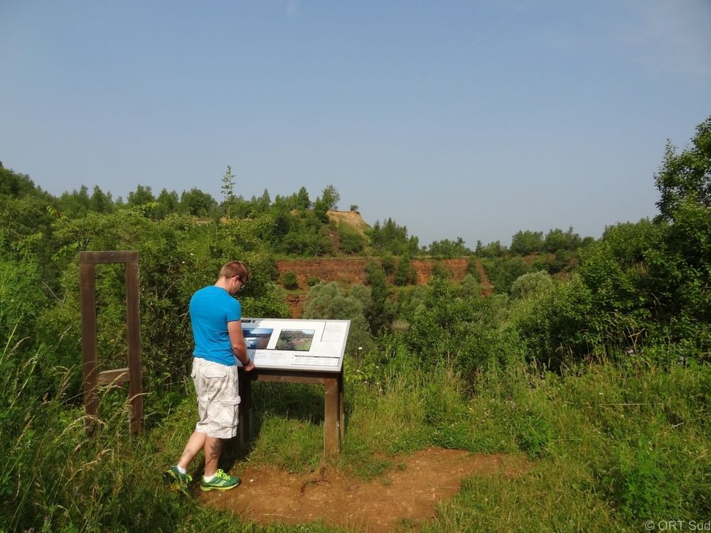
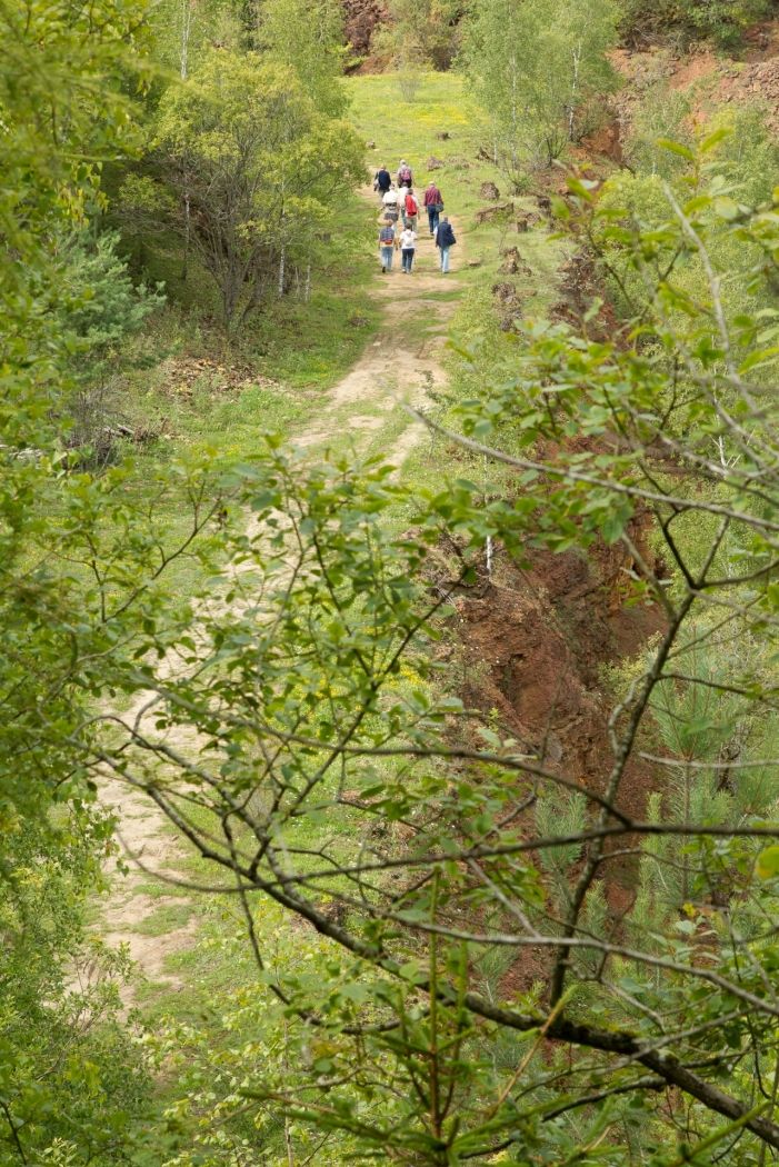
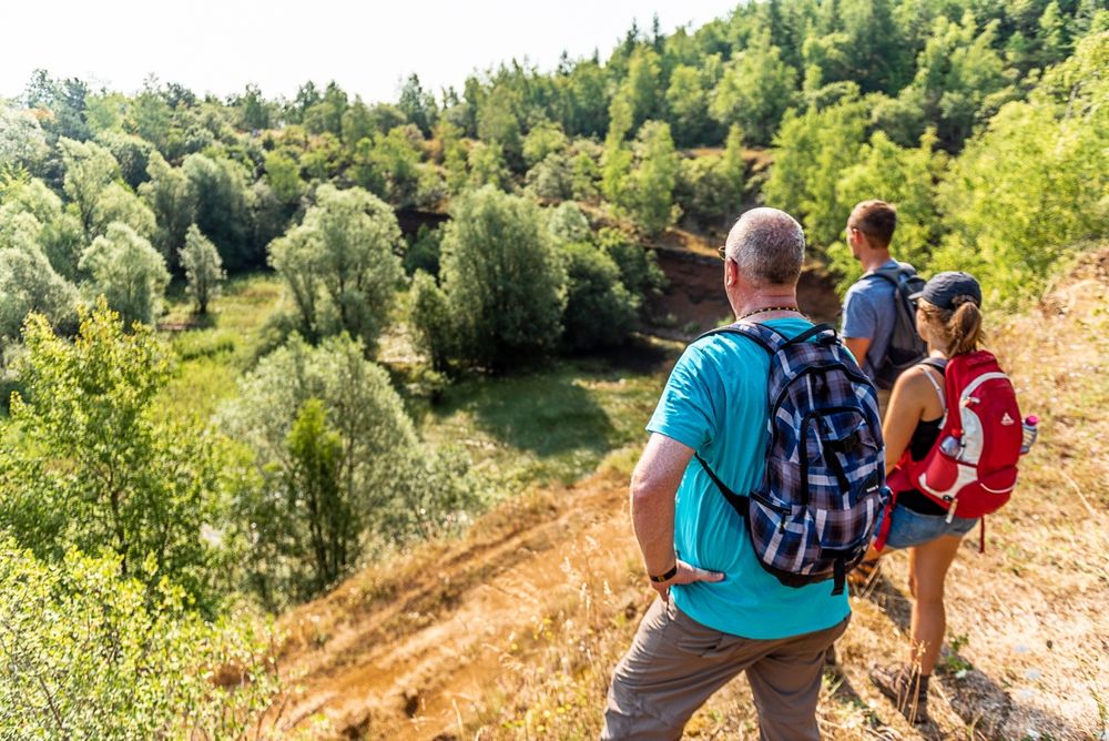
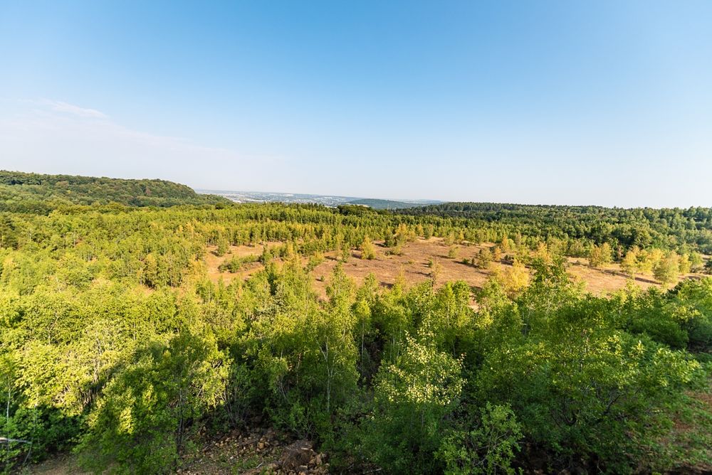
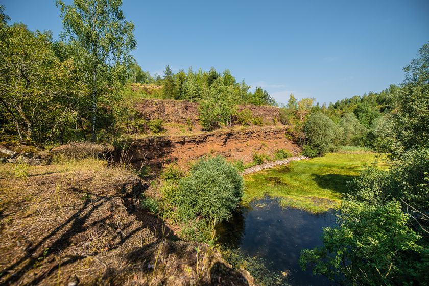
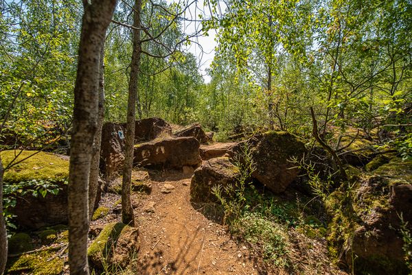
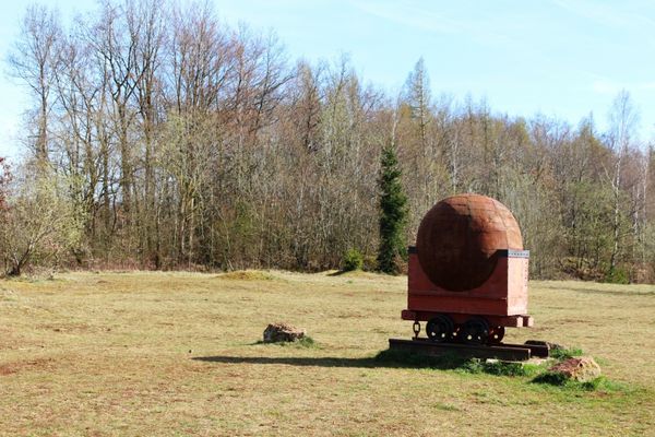
On the geological route "Giele Botter" you will learn more about the history of ore mining and deposits in the "Giele Botter" open-pit mining area. The 2.5-kilometer-long hiking trail focuses on old mine entrances, open-pit mining in general, and fossils uncovered during work. The path leads through today's nature reserve "Prënzebierg - Giele Botter".

Suggestions nearby

Geological route "Giele Botter"

  • © Pulsa Pictures
    Minett Park Fond-de-Gras
    The Minett Park Fond-de-Gras is an open-air museum that includes the Fond-de-Gras, the village of Lasauvage, the former open-cast mine of Giele Botter and the Celtic oppidum of Titelberg.
    Find out more
  • © Visit Luxembourg
    Titelberg - archaeological site
    An important site from Celtic times
    Find out more
  • © Pulsa Pictures & ORT Sud
    Nature reserve "Prënzebierg - Giele Botter"
    Nature has the final word
    Find out more

Similar hiking tours

© ORT Sud
Circular routes
Parc Le'h - Childrens didactic hike
Distance: 1,46 km
Duration: 0:25 h
Difficulty: easy
Find out more
© ORT Sud
Thematic paths
Didactic Path "Felten's Pol säi Léierpad"
Distance: 1,80 km
Duration: 0:25 h
Difficulty: easy
Find out more
© Visit Luxembourg
Circular routes
Circular trail "Sentier de la Crosnière"
Distance: 3,74 km
Duration: 1:05 h
Difficulty: easy
Find out more
© ORT SUD
Minett Trail
Minett Trail: Belval-Université - Esch-sur-Alzette Gare (Alternative)
Distance: 4,00 km
Duration: 1:00 h
Difficulty: easy
Find out more
© ORT Sud
Circular routes
Auto-Pédestre hiking trail Bergem
Distance: 8,09 km
Duration: 2:05 h
Difficulty: easy
Find out more
© Pulsa Pictures, ORT Sud
Circular routes
Auto-Pédestre hiking trail Kayl
Distance: 5,88 km
Duration: 1:45 h
Difficulty: easy
Find out more
© Visit Minett, Visit Minett
Circular routes
Educational route “Beetebuerger Bësch"
Distance: 3,79 km
Duration: 1:00 h
Difficulty: easy
Find out more
© Claude Piscitelli, Visit Luxembourg
Distance trails
24 Station to station Belvaux-Soleuvre - Belval-Université
Distance: 4,17 km
Duration: 1:05 h
Difficulty: easy
Find out more
© Parc Merveilleux / Andy Genen, Visit Luxembourg
Thematic paths
De Ris geet op d'Rees - Interactive adventure trail (short)
Distance: 6,30 km
Duration: 1:35 h
Difficulty: easy
Find out more
outdooractive This website uses technology and content from the Outdooractive Platform.