Follow this signposting on the Minett Trail
©Pulsa Pictures_ORT SUD

Hiking & Walking

Hunting Season 2025/26 — Check for hunts

Autumn is here, and that means hunting season has begun! From mid-October to January/February, hunters are active across the country. Stay safe by checking hunt dates in your area on our Maps or on the Géoportail-Layer containing the dates of the hunts.

Adventure awaits

Many hikes await in the Minett region, but two stand out as clear highlights: The regional stage hike “Minett Trail” and the border-crossing adventure “Circuit Transfrontalier de l'Acier” allow you to traverse the (greater) region on foot and gain first-hand experience of how its intertwined industrial past shaped its present and future.

Remnants of the industrial age litter the Minett Trail
Seelbunn - Ellergronn©Pulsa Pictures_ORT SUD
Circuit Transfrontalier de l'Acier

Discover the deep ties between two former industrial areas in the european heartland on this cross-border hiking trail.

Find out more

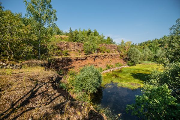
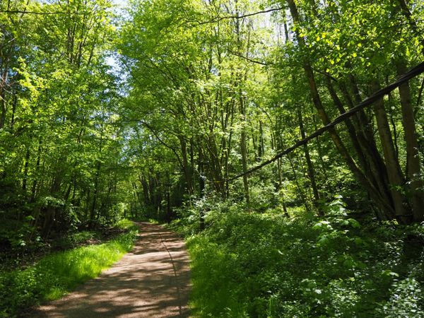
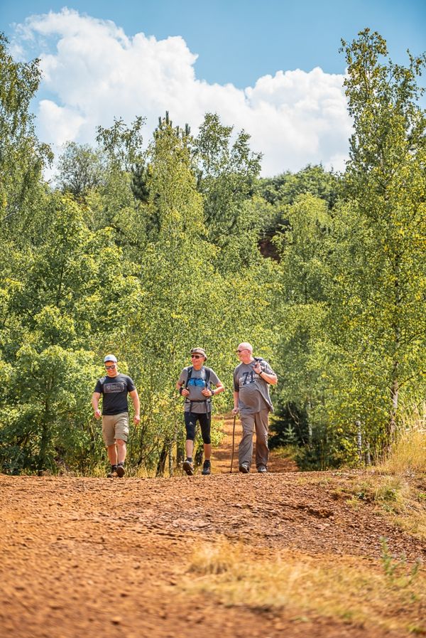
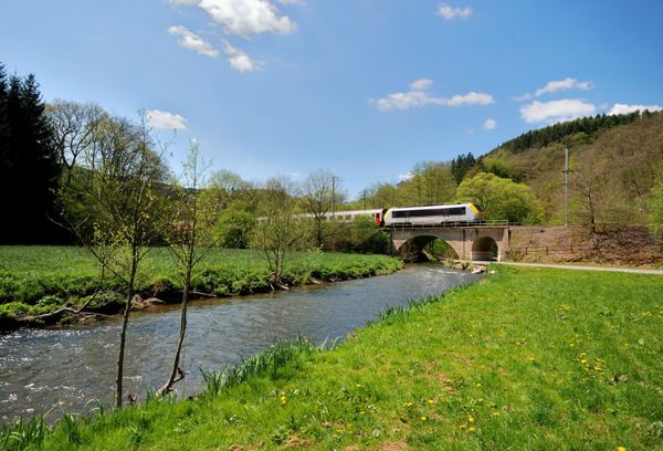
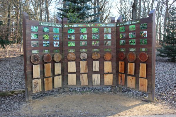
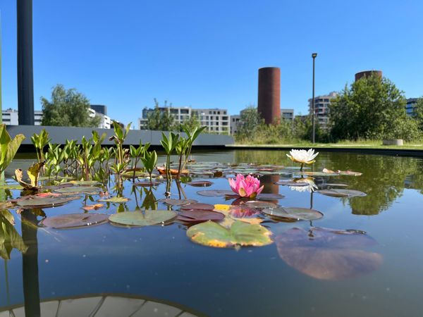
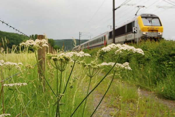
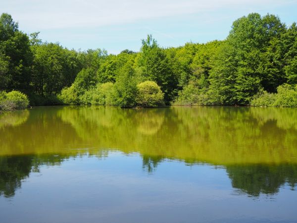
A walk for all seasons

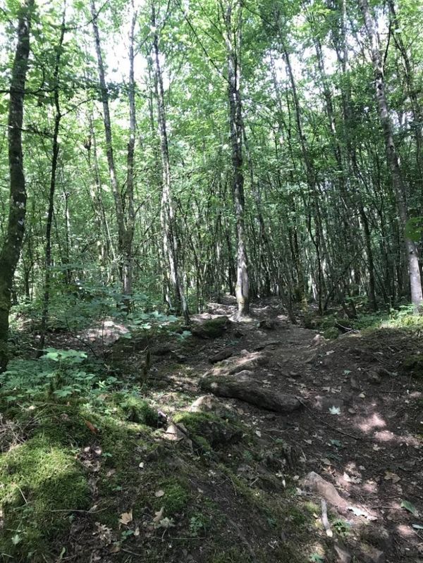
Welcome to the enchanting Minett region, where nature’s beauty unfolds across every season. Our hiking trails offer a diverse landscape, inviting explorers to discover the rich flora, scenic vistas, and hidden gems unique to each time of year. Whether you're seeking the tranquility of lush forests, meadows and flowers in full bloom, the refreshing shade of forests during the heat of the summer, the vibrant colors of changing leaves, or the serene blanket of snow (or want to escape the slippery conditions), our trails promise an unforgettable adventure. Embrace the outdoors and let each step reveal the natural wonders of this captivating region.

These boots are made for hiking...

From Clemency to Dudelange or to Bettembourg, the Minett region offers exceptional hiking opportunities through the heart of the land of the Red Rocks: Circular walks, thematic hikes, short and long distance trails, accessible walks and the regional multistage hiking trail Minett Trail - there's something for everyone.

Filter Schließen
Filter

Type

Type

Location (Write in)

Location (Write in)

Distance

Distance

Difficulty

Difficulty
Fewer filters
More filters
74 results
©Visit Luxembourg
Circular routes
Accessible to all trail "Liichte Wee"
Distance: 2,19 km
Duration: 0:30 h
Find out more
©Visit Luxembourg
Circular routes
Circular trail "Sentier de la Crosnière"
Distance: 3,74 km
Duration: 1:05 h
Difficulty: easy
Find out more
©ORT Sud
Circular routes
Auto-Pédestre hiking route Abweiler
Distance: 8,86 km
Duration: 2:20 h
Difficulty: medium
Find out more
©Pulsa Pictures, ORT SUD
Thematic paths
Didactic trail "Natura 2000" - Ellergronn
Distance: 11,89 km
Duration: 3:10 h
Difficulty: medium
Find out more
©Pulsa Pictures, ORT Sud
Circular routes
Auto-Pédestre hiking route Dudelange-Haard
Distance: 7,33 km
Duration: 2:00 h
Difficulty: easy
Find out more
©Pulsa Pictures, ORT SUD
Circular routes
Discovery trail „Prënzebierg - Giele Botter"
Distance: 7,64 km
Duration: 2:10 h
Difficulty: medium
Find out more
©ORT Sud
Circular routes
Auto-pédestre trail Leudelange
Distance: 5,04 km
Duration: 1:20 h
Difficulty: medium
Find out more
©Pulsa Pictures, ORT SUD
Circular routes
Haard-Hesselsbierg-Staebierg educational route, S1
Distance: 11,23 km
Duration: 3:00 h
Difficulty: medium
Find out more
©Parc Merveilleux / Andy Genen, Visit Luxembourg
Thematic paths
De Ris geet op d'Rees - Interactive adventure trail (long)
Distance: 10,27 km
Duration: 2:40 h
Difficulty: easy
Find out more
©Pulsa Pictures, ORT SUD
Minett Trail
Minett Trail: Esch-sur-Alzette Gare - Tétange Gare
Distance: 11,95 km
Duration: 3:30 h
Difficulty: medium
Find out more
©Pulsa Pictures, ORT SUD
Circular routes
Circular hiking trail “Um Réimerwee”
Distance: 9,29 km
Duration: 2:40 h
Difficulty: medium
Find out more
©© Claude Piscitelli / ONT, Visit Luxembourg
Thematic paths
Geological route "Giele Botter"
Distance: 2,91 km
Duration: 0:50 h
Difficulty: easy
Find out more
©Pulsa Pictures, Pulsa Pictures & ORT Sud
Minett Trail
Minett Trail: Pétange Gare - Differdange Gare
Distance: 16,60 km
Duration: 4:50 h
Difficulty: difficult
Find out more
©CFL, Visit Luxembourg
Distance trails
32 Station to station Bascharage-Sanem - Dippach-Reckange
Distance: 10,14 km
Duration: 2:40 h
Difficulty: medium
Find out more
©ORT Sud
Distance trails
29 Station to station Niederkorn - Rodange
Distance: 10,12 km
Duration: 2:55 h
Difficulty: medium
Find out more