Circular routes Visit Luxembourg
Description
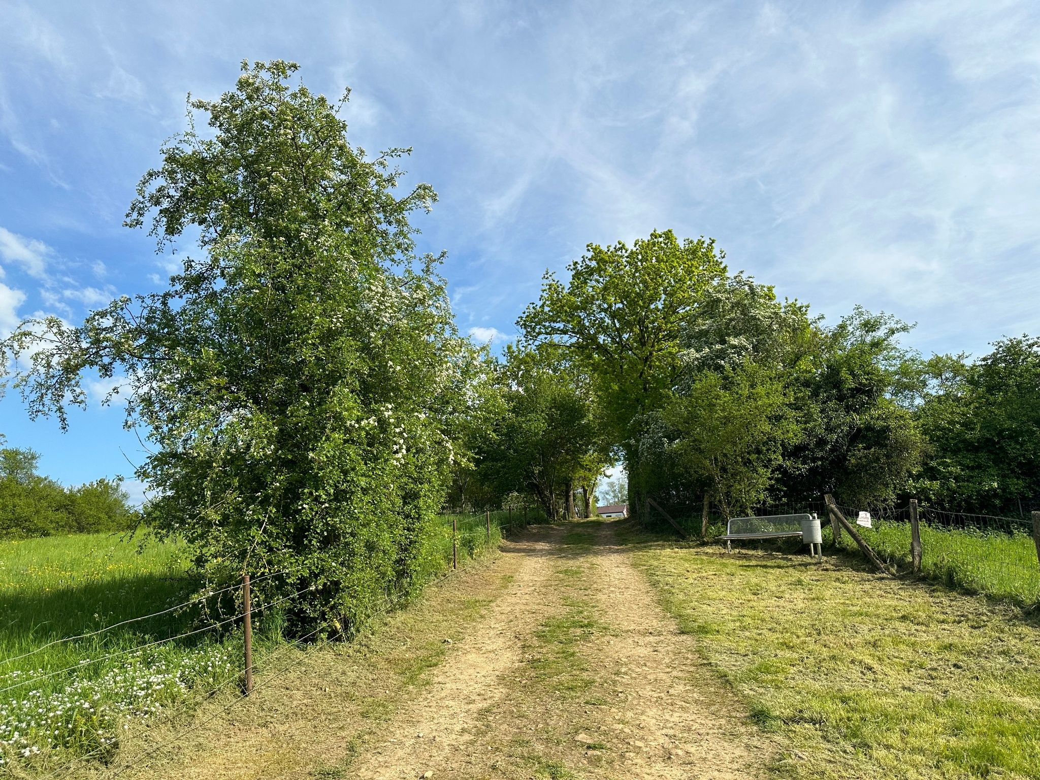
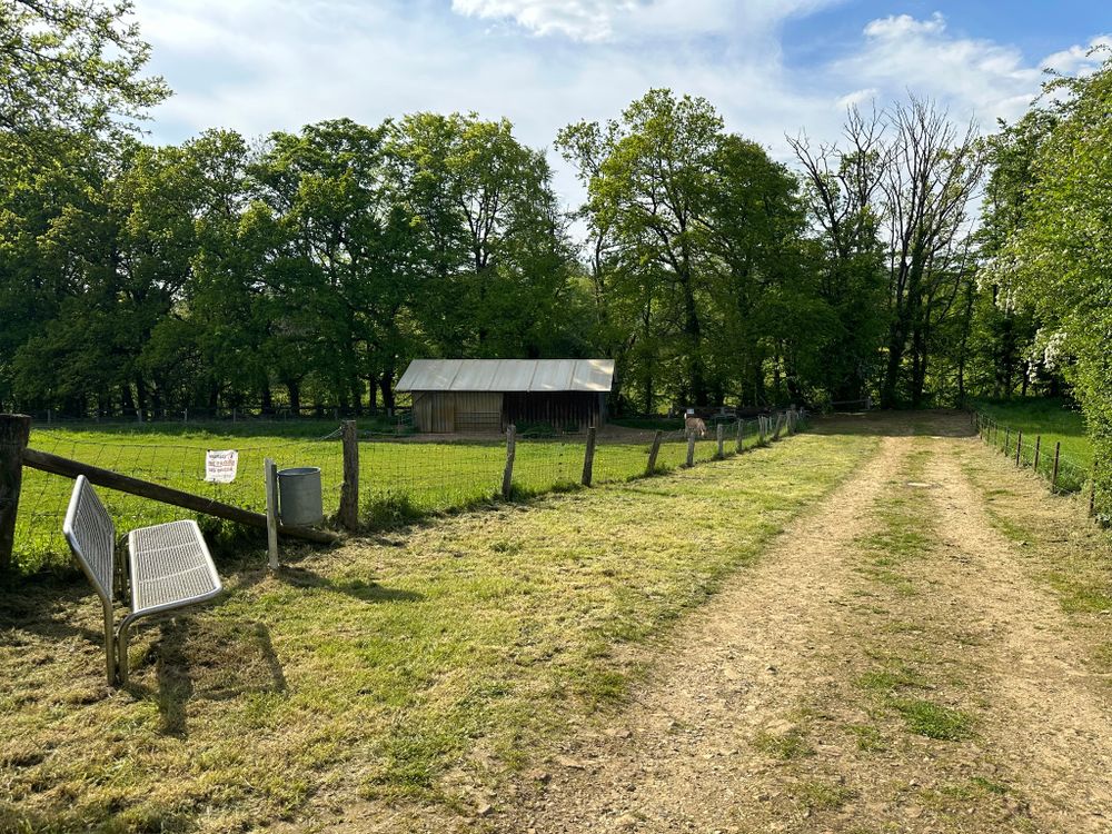
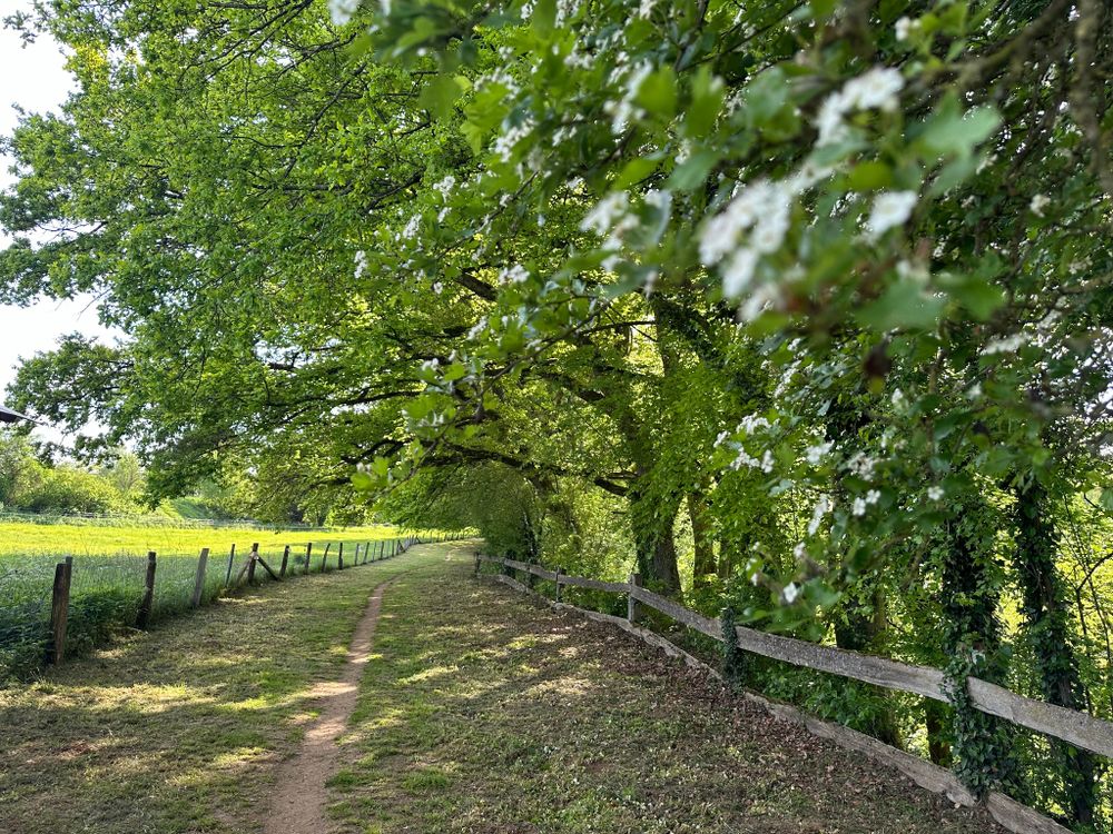
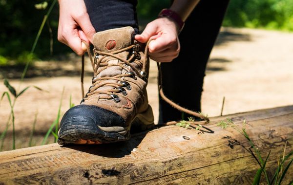
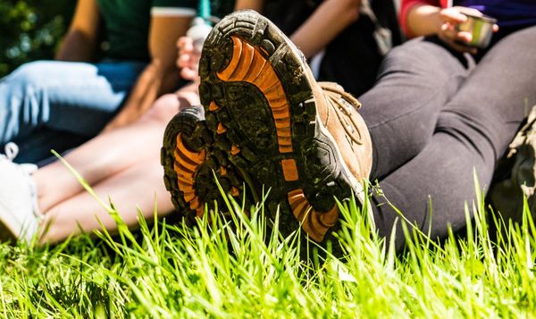
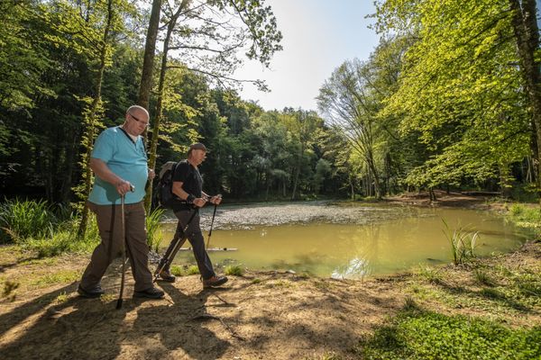
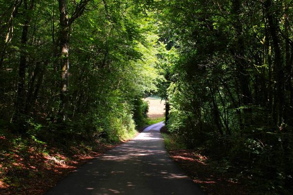
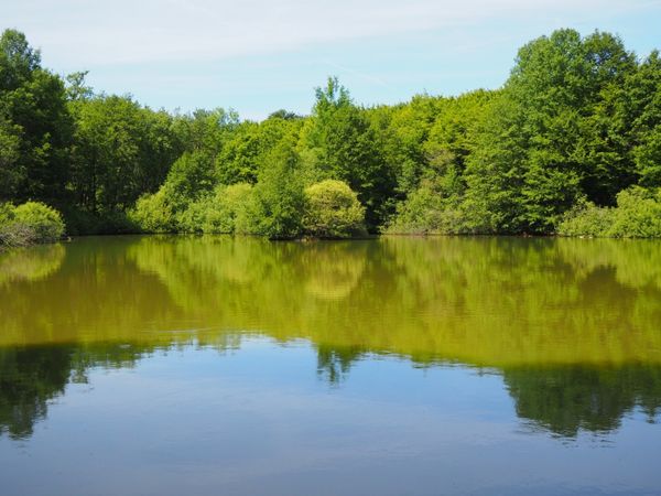
Hike around Bascharage and the surrounding area.
The Auto-Pédestre Bascharage starts in the town of the same name and initially leads away from the hustle and bustle. What you wouldn’t expect here: with a view of the industrial zone, you walk over a dam through sheep! Then the path continues into the forests around Bascharage and back to the starting point. A leisurely walk, but demanding due to its length.
Directions
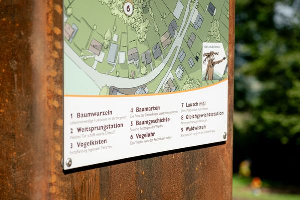
Please follow the signage with the blue lozenge on a white background, the path is marked in both directions.
For your safety
Please stay on the designated hiking trails and do not walk off the paths.
Equipment
Please remember to bring enough drinking water and provisions.
Journey
Public transport:
Parking:
Bus: Bascharage, Treff/Op Acker.
Parking:
Public parking available on site.


 This website uses technology and content from the Outdooractive Platform.