Description
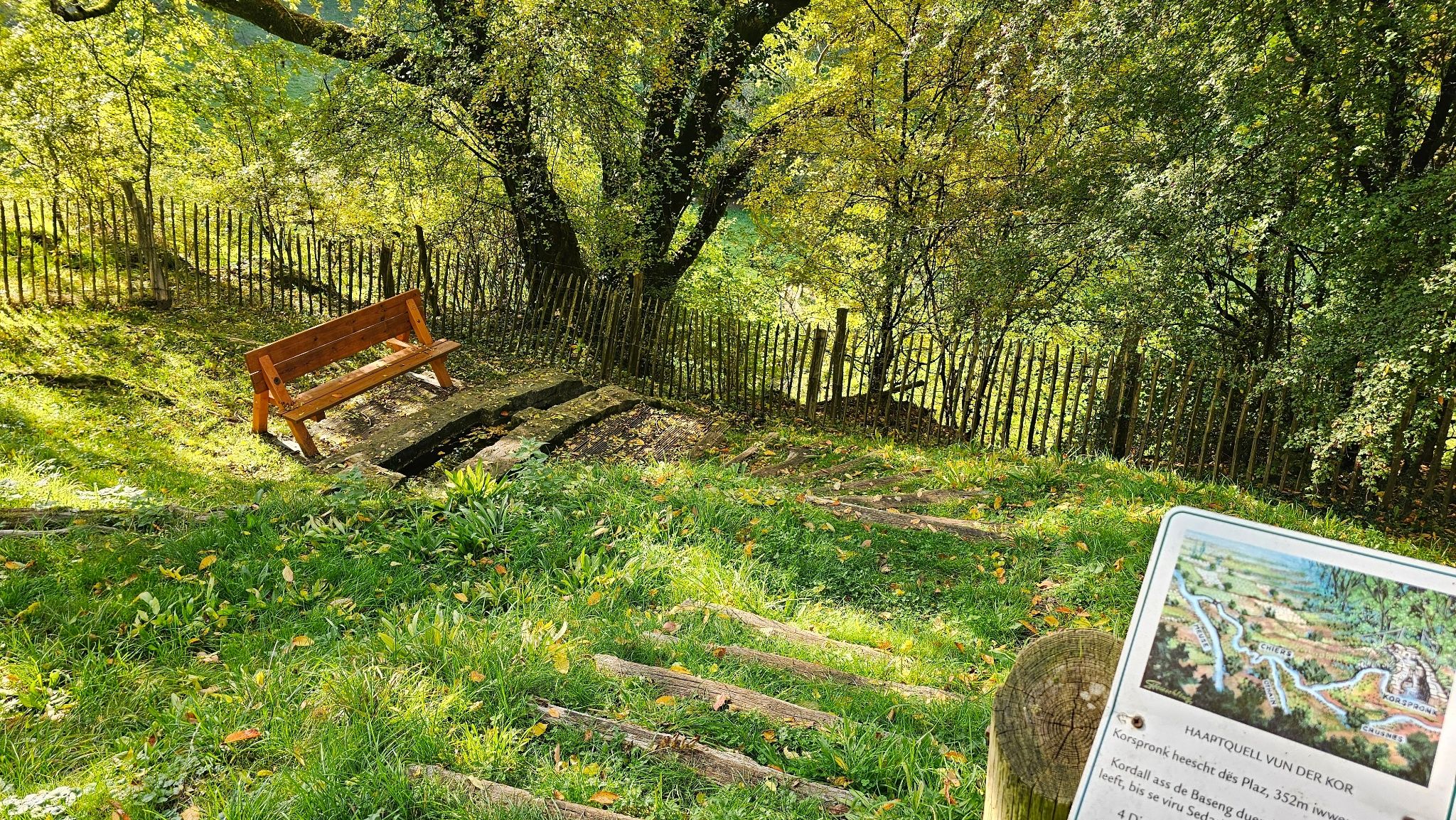
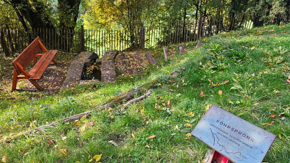
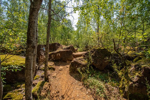
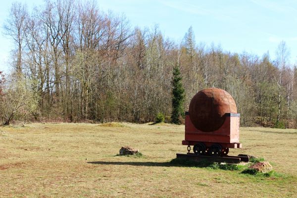
The Chiers is a calm, natural river that rises in the south of Luxembourg and flows through a varied landscape of forests, meadows and old industrial sites on to Belgium and finally France. What is once 140 kilometers long and also serves as a border river has a very modest origin here in Luxembourg: Not far from the city center of Differdange, the third largest city in the country, is the source of the "Kor", as the Chiers is called here, at an altitude of around 380 meters.
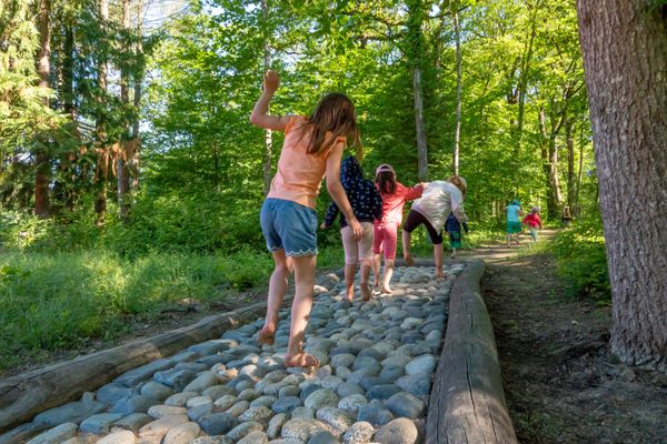
A circular hiking trail leads from Differdange up to the source of the Chiers. The route runs through tranquil countryside, past wide fields and shady sections of forest, and always offers beautiful views. An ideal hike for anyone who likes to discover where a river begins - quiet, pristine and surrounded by greenery.
Signposting
Directions
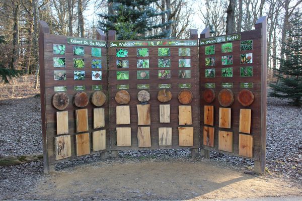
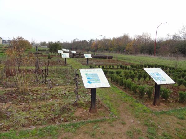
Follow the "DF1" signs and you will also find information boards along the way.
Equipment
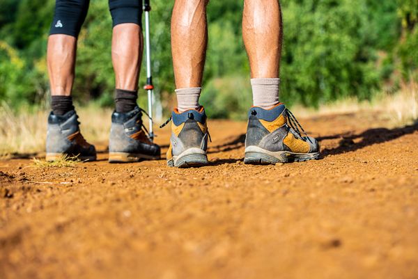
Remember to bring food and sturdy shoes


 This website uses technology and content from the Outdooractive Platform.