Description
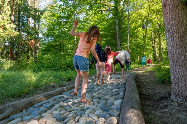
A huge fun for children.
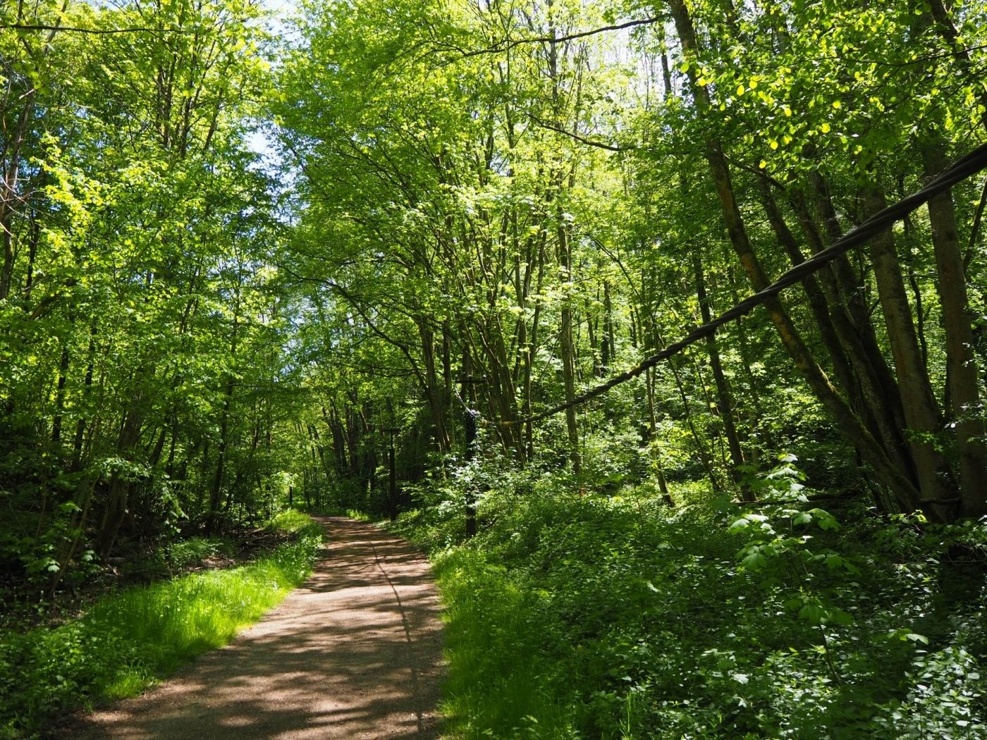
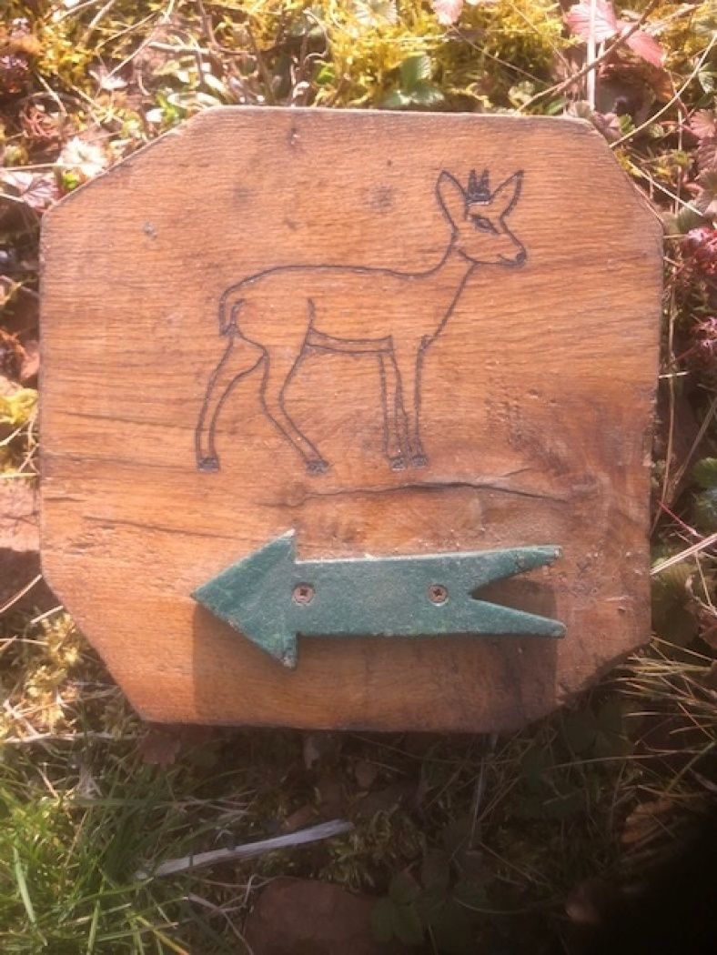
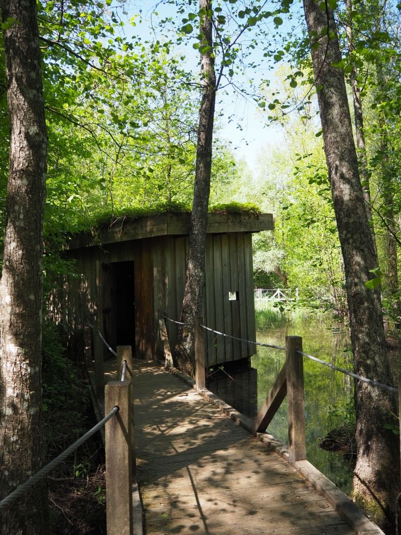
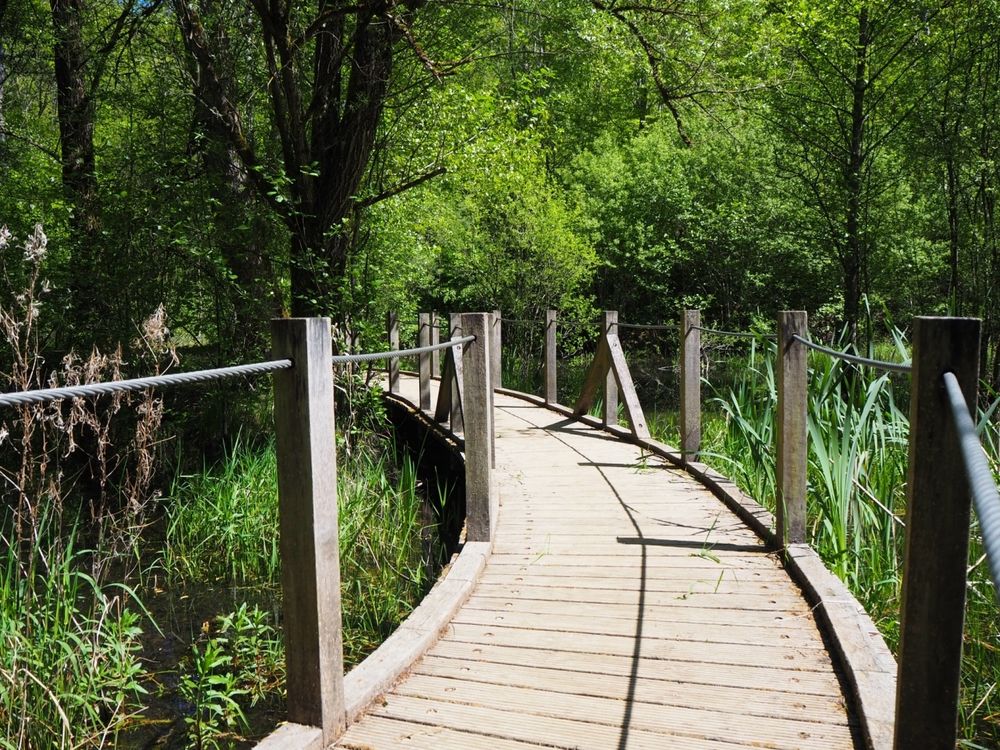
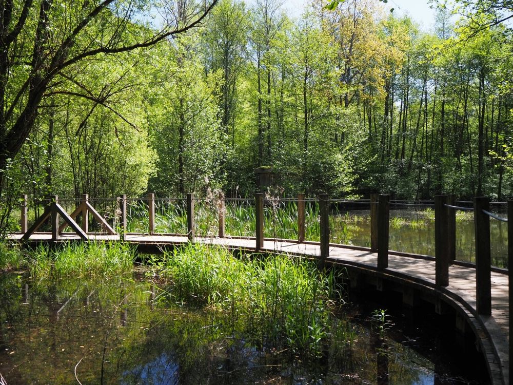
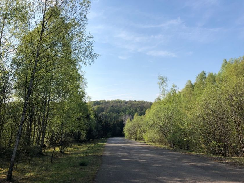
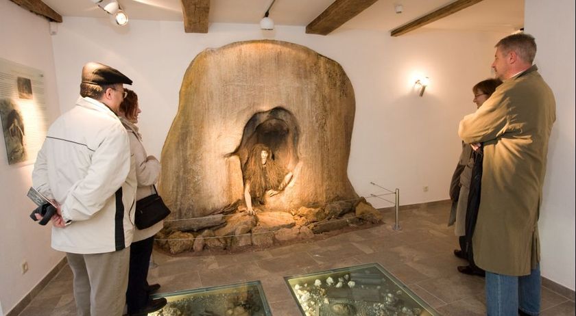
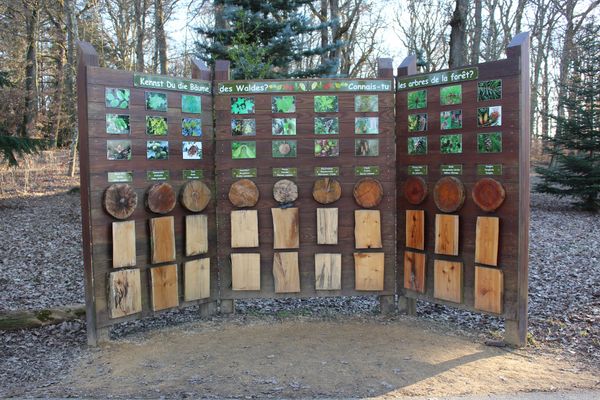
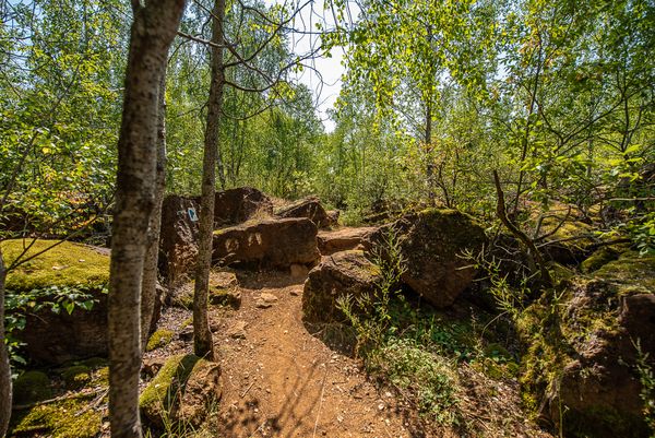
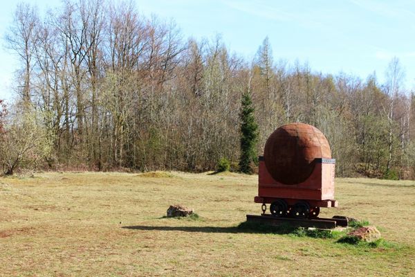
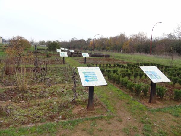
An exploration path in the hidden village of Lasauvage. Several small paths branch off from the main path (marked with a stag) to later return to it. On these branches, young and old can discover various aspects of nature. The numerous information boards help with orientation. Near the end of the path, you can admire the still existing poles of the former "Minièresbunn".
Signposting
Directions
Please follow the signs with the stag. The path leads counterclockwise along the route of the Crosnière.
For your safety
Please be aware that mountain bikers may come towards you along sections of the trail and that the trail partly crosses streets within the town. Please follow the posted signs, do not leave the path, and pay attention to your surroundings.
Equipment
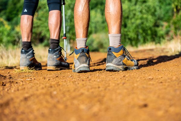
Please remember sturdy footwear and appropriate clothing in case of bad weather.
Journey
Public parking available on site.

 This website uses technology and content from the Outdooractive Platform.