©Pulsa Pictures, ORT Sud
Minett Germany France

Auto-Pédestre trail Dudelange - Haard

Hunting Season 2025/26 — Check for hunts

Autumn is here, and that means hunting season has begun! From mid-October to January/February, hunters are active across the country. Stay safe by checking hunt dates in your area on our Map. 

Click on Map in the Header > Services > More > Hunting.

Starting point

Boulodrome parking - 49, Rue Gare-Usines L-3481 Dudelange

Destination

Boulodrome parking - 49, Rue Gare-Usines L-3481 Dudelange

Distance
7,33 km
Duration
2:00 h
Difficulty
easy
  • Condition
Highest point
406 Hm
Lowest point
296 Hm
Aggregated Ascent
150 Hm
Aggregated Descent
150 Hm
Circular routes Visit Luxembourg

Description

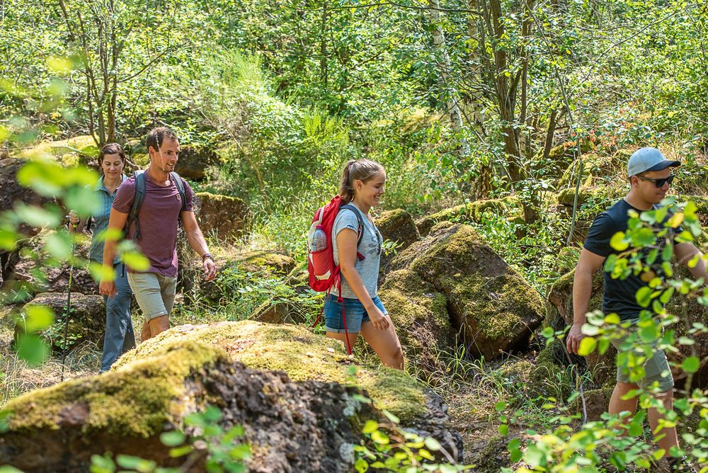
Hike a part through the nature reserve "Haard-Hesselsbierg-Staebierg" on the Auto-Pédestre hiking route Dudelange-Haard.

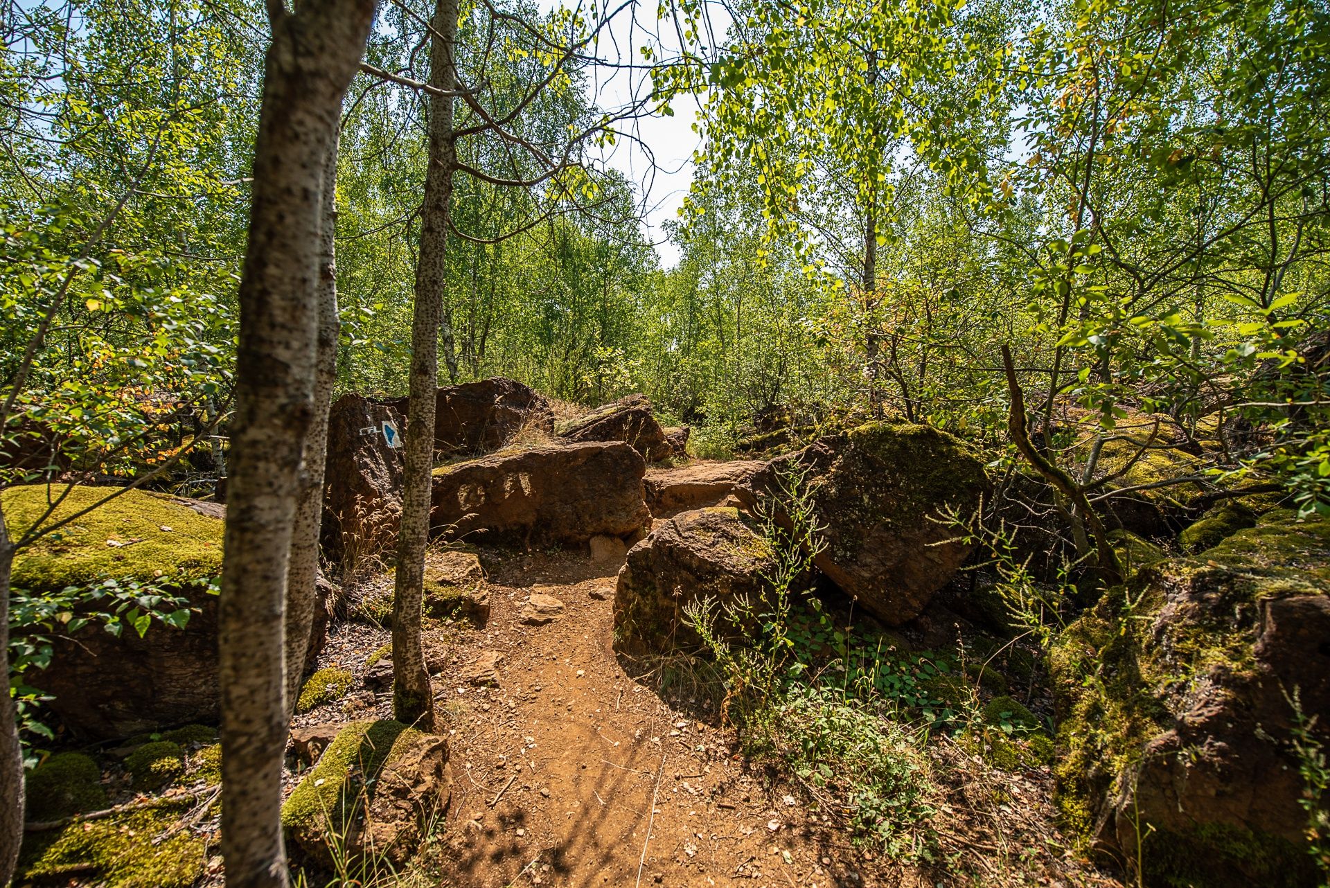
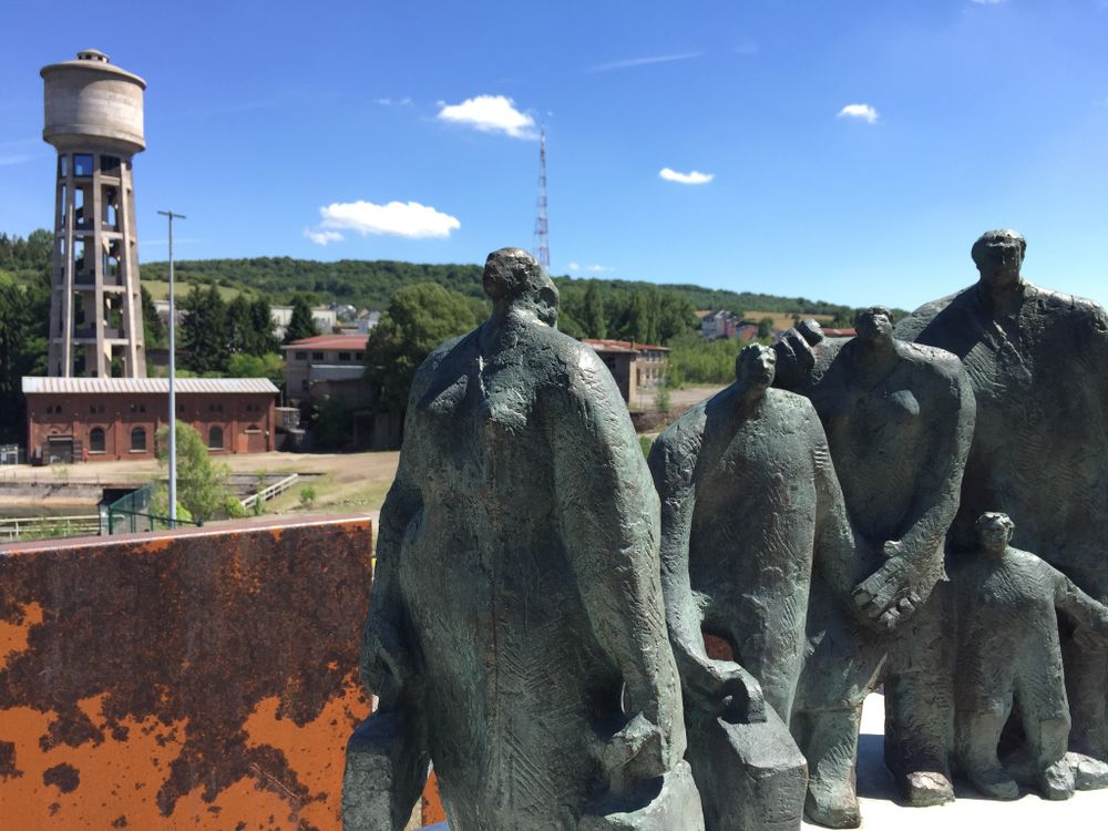
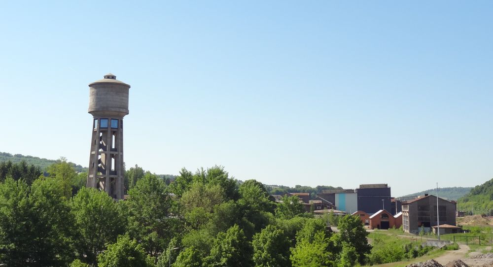
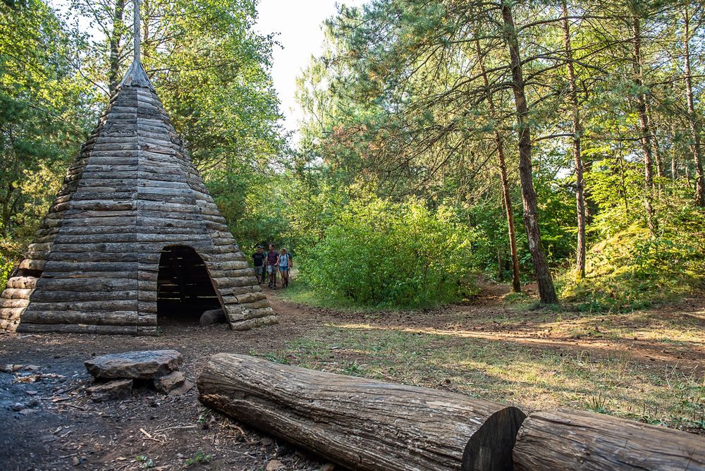
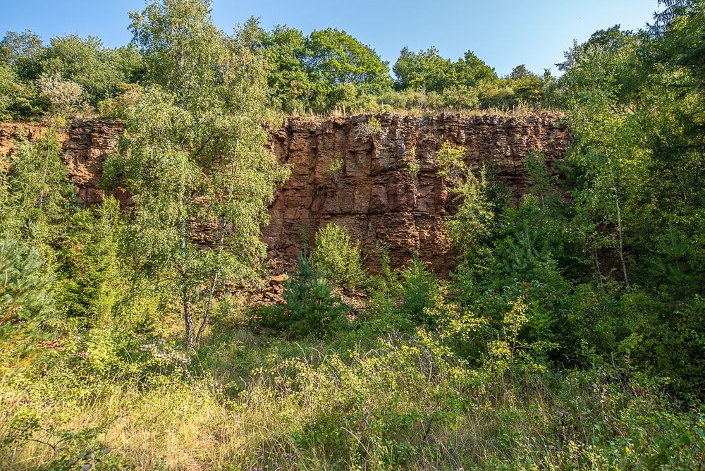
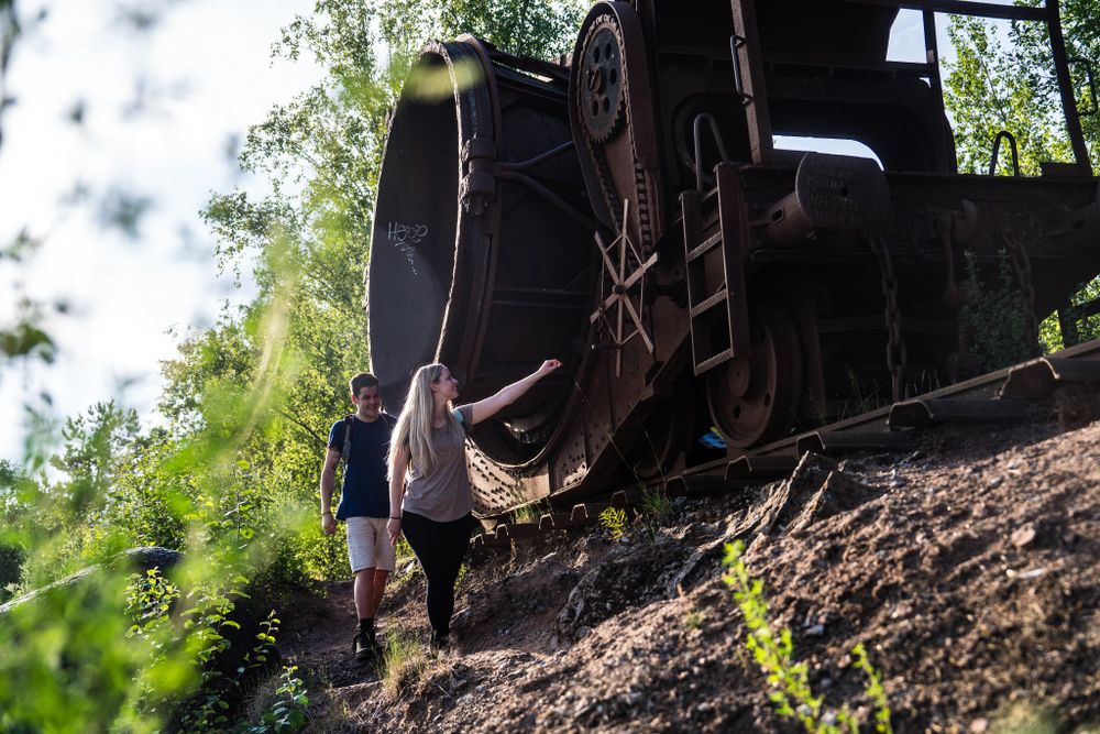
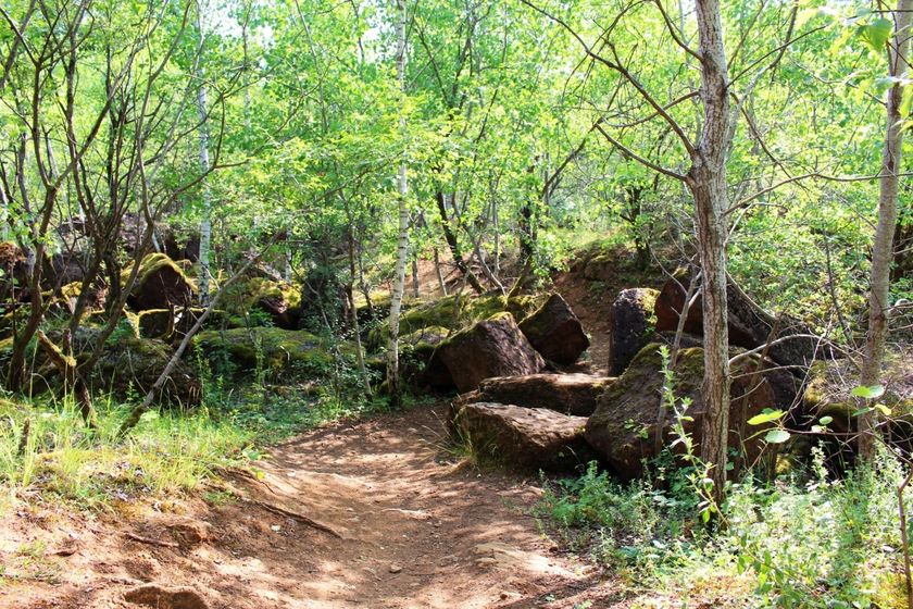
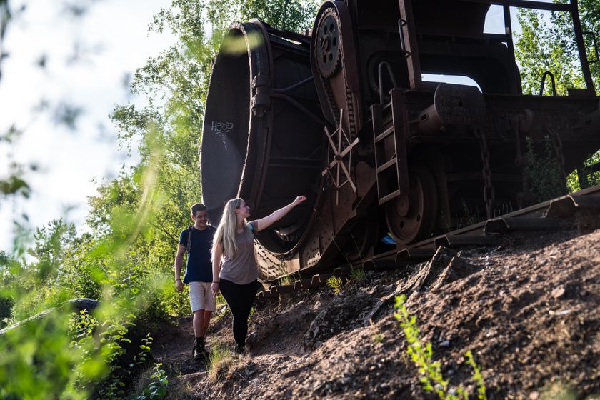
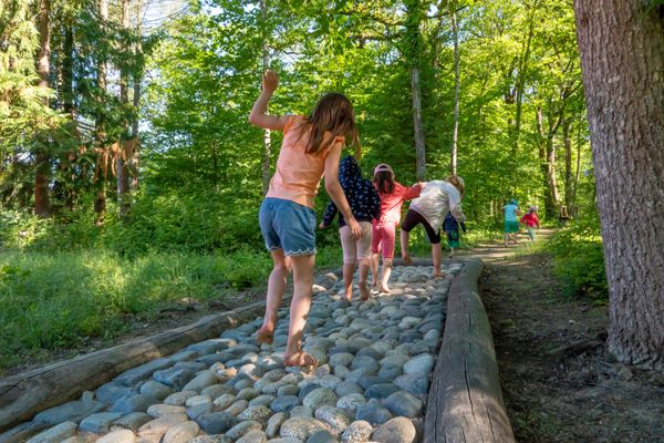
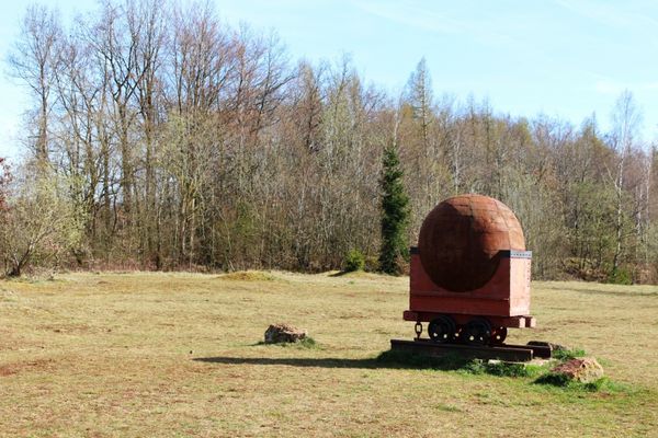
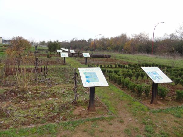
The hiking route begins at the free parking lot at the Boulodrome. Here you can decide whether to start your route immediately into the green of the Haard-Hesselsbierg-Staebierg nature reserve or first explore the workers' district "Quartier Italien". The 7-kilometer circular route offers a lot of variety: from green forest, over open landscapes shaped by the open-cast mine, fields with poppies (between May and June) to red earth and rock walls. The highlight of the route is the Humpen, a former train wagon in the middle of nowhere in which slag was transported.

Suggestions nearby

Auto-Pédestre trail Dudelange - Haard

  • ©Pulsa pictures
    Documentation Centre for Human Migrations
    Migration history and the background of cultural diversity in Luxembourg - you will learn a lot here
    Find out more
  • ©Pulsa Pictures_OAI
    Kabaisercher: Floater Dudelange
    AccessibleSituated in the centre of town
  • ©Steichencollections CNA
    Waassertuerm + Pomhouse
    Exhibitions in the heart of Luxembourg’s industrial heritage
    Find out more
  • ©Pulsa Pictures_ORT SUD
    Schlakewon Humpen
    In the middle of the nature reserve, this old cinder tipping car really stands out. A popular photo spot and a stunning viewing platform.
    Find out more
  • Nature reserve "Haard-Hesselsbierg-Staebierg"
    The largest nature reserve in the country
    Find out more

Similar hiking tours

©Ville de Dudelange, Ville de Dudelange
Circular routes
Local hiking trail Dudelange - "Buerfousswee"
Distance: 0,64 km
Duration: 0:10 h
Difficulty: easy
Find out more
©ORT Sud
Circular routes
Local hiking trail "Parc Le'h" - Childrens didactic path
Distance: 1,46 km
Duration: 0:25 h
Difficulty: easy
Find out more
©Visit Luxembourg
Circular routes
Local hiking trail "Sentier de la Crosnière"
Distance: 3,74 km
Duration: 1:05 h
Difficulty: easy
Find out more
©ORT SUD
Minett Trail
Minett Trail: Belval-Université - Esch-sur-Alzette Gare (Alternative)
Distance: 4,00 km
Duration: 1:00 h
Difficulty: easy
Find out more
©ORT Sud
Thematic paths
Didactic path "Felten's Pol säi Léierpad"
Distance: 1,80 km
Duration: 0:25 h
Difficulty: easy
Find out more
©ORT Sud
Circular routes
Auto-Pédestre trail Bergem
Distance: 8,09 km
Duration: 2:05 h
Difficulty: easy
Find out more
©Visit Minett, Visit Minett
Circular routes
Didactic path “Beetebuerger Bësch"
Distance: 3,79 km
Duration: 1:00 h
Difficulty: easy
Find out more
©Claude Piscitelli, Visit Luxembourg
Distance trails
24 CFL hiking trails from station to station : Belvaux-Soleuvre - Belval-Université
Distance: 4,17 km
Duration: 1:05 h
Difficulty: easy
Find out more
©© Claude Piscitelli / ONT, Visit Luxembourg
Thematic paths
Didactic path "Giele Botter"- Geological route
Distance: 2,91 km
Duration: 0:50 h
Difficulty: easy
Find out more
outdooractive This website uses technology and content from the Outdooractive Platform.