Luxembourg City Éislek Müllerthal Mosel Minett Guttland Germany France

National hiking trail "Path of the Minerworkers"

Starting point
Square Abbé François Ney, 4744 Pétange
Destination
Square Abbé François Ney, 4744 Pétange
Distance
29,16 km
Duration
8:10 h
Difficulty
medium
  • Condition
  • Technique
Highest point
426 Hm
Lowest point
294 Hm
Thematic paths Daniel O.

Description
Scenic

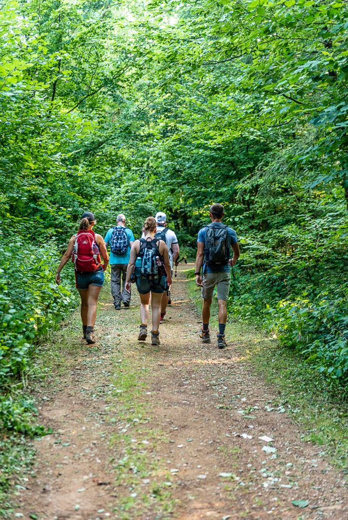
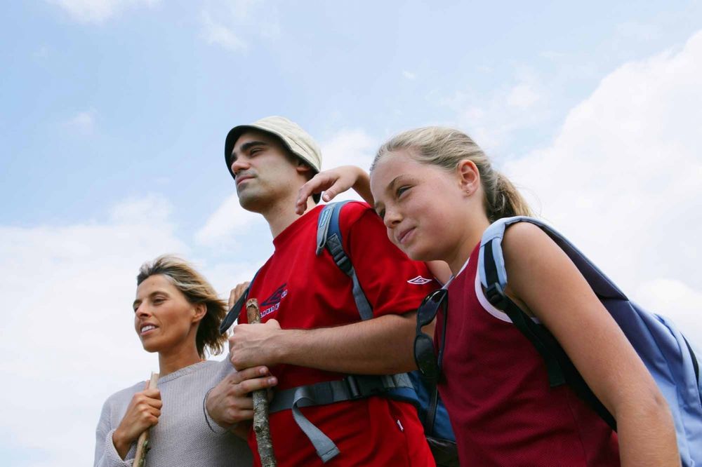
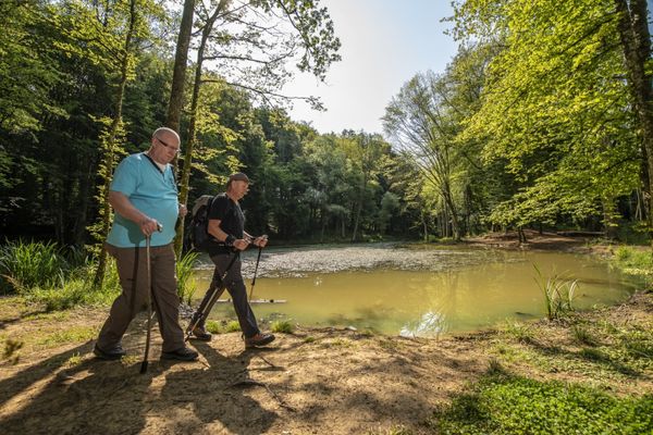
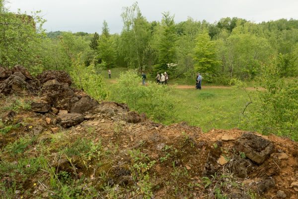
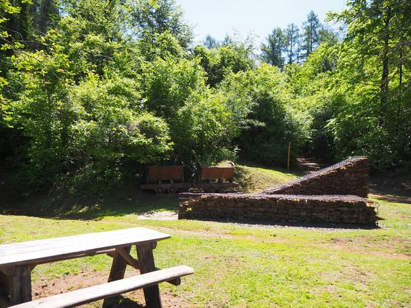
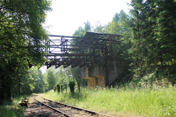
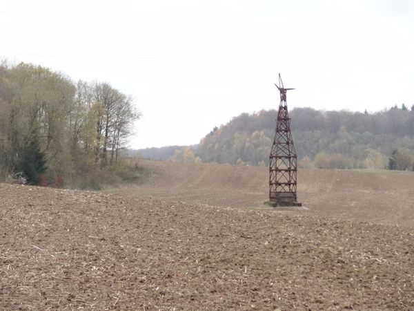
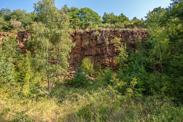
Hike in the footsteps of the miners on the national hiking trail "Path of the Minerworkers"

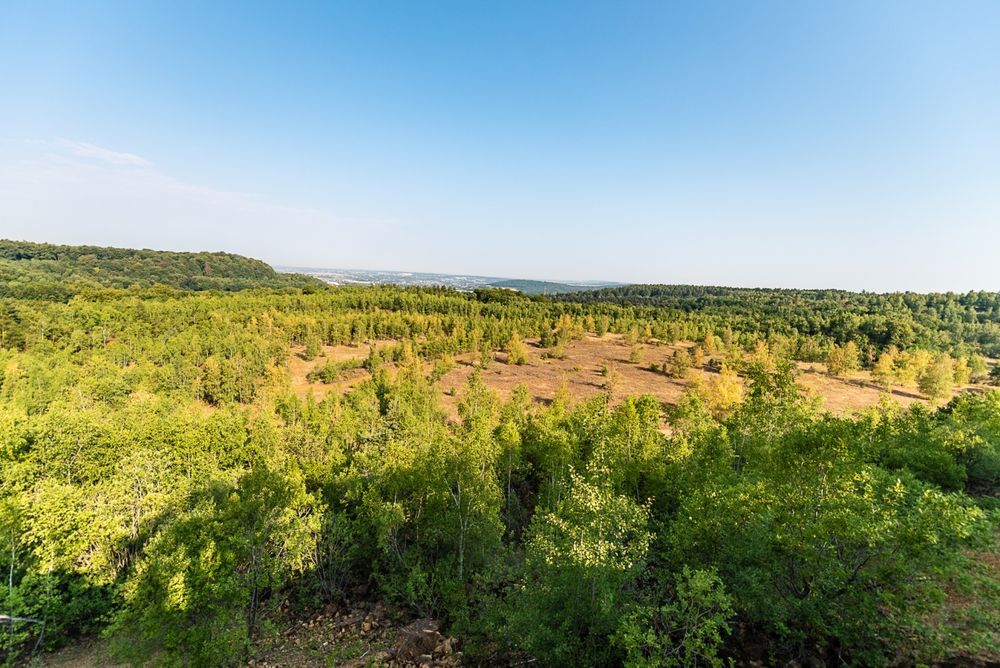
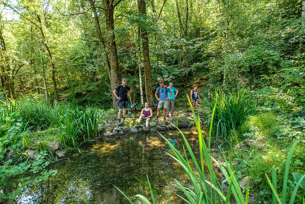
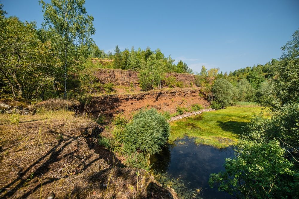
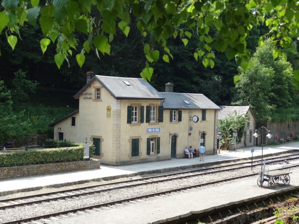
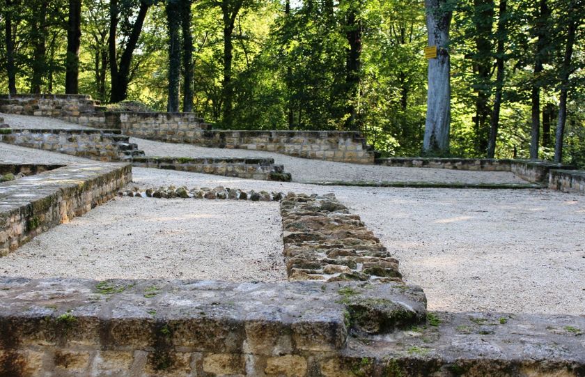
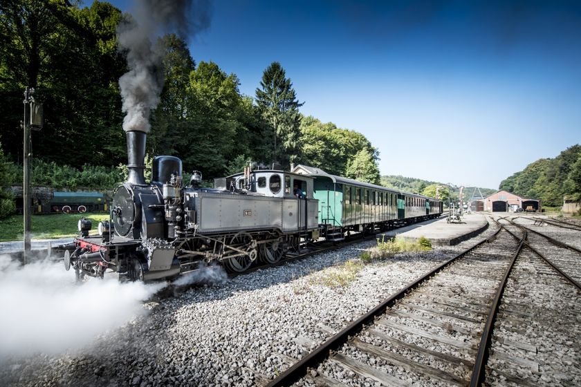
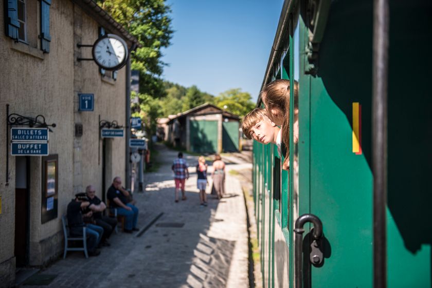
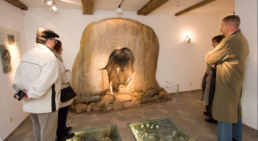
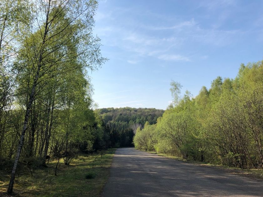
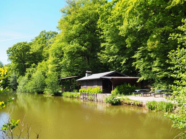
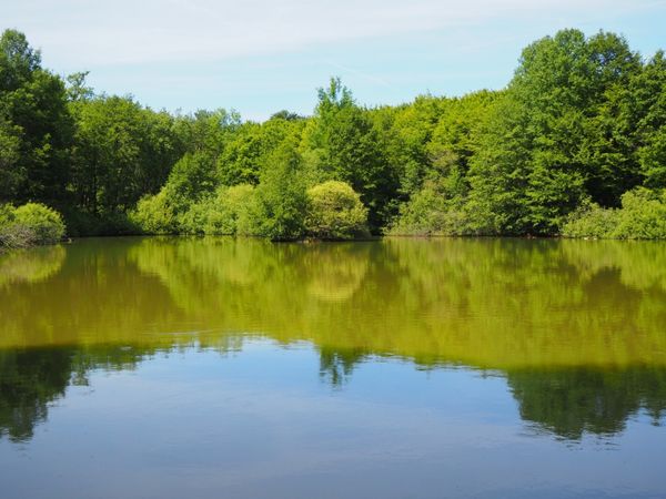
Once the most important industrial region in Luxembourg, the Basse-Chiers has gradually been taken over by nature. This scenic trail takes hikers through green forests and quiet valleys, along charming streams, and down mining slopes with angular contours, typical of the region. The Miners’ Trail offers surprising views of old mining towns and a unique look at the region’s historic railroad heritage. The journey invites you to enjoy nature and reflect on the old mining days.

for tour routing
stage-trail-path-of-the-minerworkers gpx
Show all pictures

Suggestions nearby

National hiking trail "Path of the Minerworkers"

  • Titelberg - archaeological site
    An important site from Celtic times
    Find out more
  • Historical steam train "Train 1900"
    Historical steam train "Train 1900"
    Fancy a journey back in time ?
    Find out more
  • Minett-Park Fond-de-Gras
    Minett Park Fond-de-Gras
    The Minett Park Fond-de-Gras is an open-air museum that includes the Fond-de-Gras, the village of Lasauvage, the former open-cast mine of Giele Botter and the Celtic oppidum of Titelberg.
    Find out more
  • Espace Muséologique Lasauvage
    Espace Muséologique de Lasauvage
    This life-size reconstruction takes you back to the days of the Second World War when a group of young Luxembourgers hid in a mine to escape the obligation to serve in the German army and wear the Nazi uniform.
    Find out more
  • Nature reserve "Kiemerchen / Scheiergronn / Groussebësch"
    Nature reserve "Kiemerchen / Scheiergronn / Groussebësch"
    Find out more
  • Réserve Naturelle Giele Botter - Prënzebierg_Copyright Pulsa Pictures_ORTSUD (16) i-net 72 dpi
    Nature reserve "Prënzebierg - Giele Botter"
    Nature has the final word
    Find out more

Similar hiking tours

Distance trails
21 Station to station Bettembourg - Dudelange-Burange
Distance: 14,66 km
Duration: 3:45 h
Difficulty: medium
Find out more
Distance trails
22 Station to Station Dudelange - Burange - Rumelange
Distance: 10,22 km
Duration: 3:05 h
Difficulty: medium
Find out more
Distance trails
23 Station to station Rumelange - Kayl
Distance: 12,57 km
Duration: 3:25 h
Difficulty: medium
Find out more
Distance trails
25 Station to station Kayl - Schifflange - Esch-sur-Alzette
Distance: 21,71 km
Duration: 6:05 h
Difficulty: medium
Find out more
Distance trails
26 Station to station Esch-sur-Alzette - Belvaux-Soleuvre
Distance: 9,05 km
Duration: 2:30 h
Difficulty: medium
Find out more
Distance trails
27 Station to station Belvaux-Soleuvre-Oberkorn
Distance: 5,20 km
Duration: 1:25 h
Difficulty: medium
Find out more
Distance trails
28 Station to station Oberkorn - Niederkorn
Distance: 8,69 km
Duration: 2:25 h
Difficulty: medium
Find out more
Distance trails
29 Station to station Niederkorn - Rodange
Distance: 10,12 km
Duration: 2:55 h
Difficulty: medium
Find out more
Distance trails
30 Station to station Oberkorn - Fond de Gras - Rodange
Distance: 17,78 km
Duration: 5:00 h
Difficulty: medium
Find out more
outdooractive This website uses technology and content from the Outdooractive Platform.