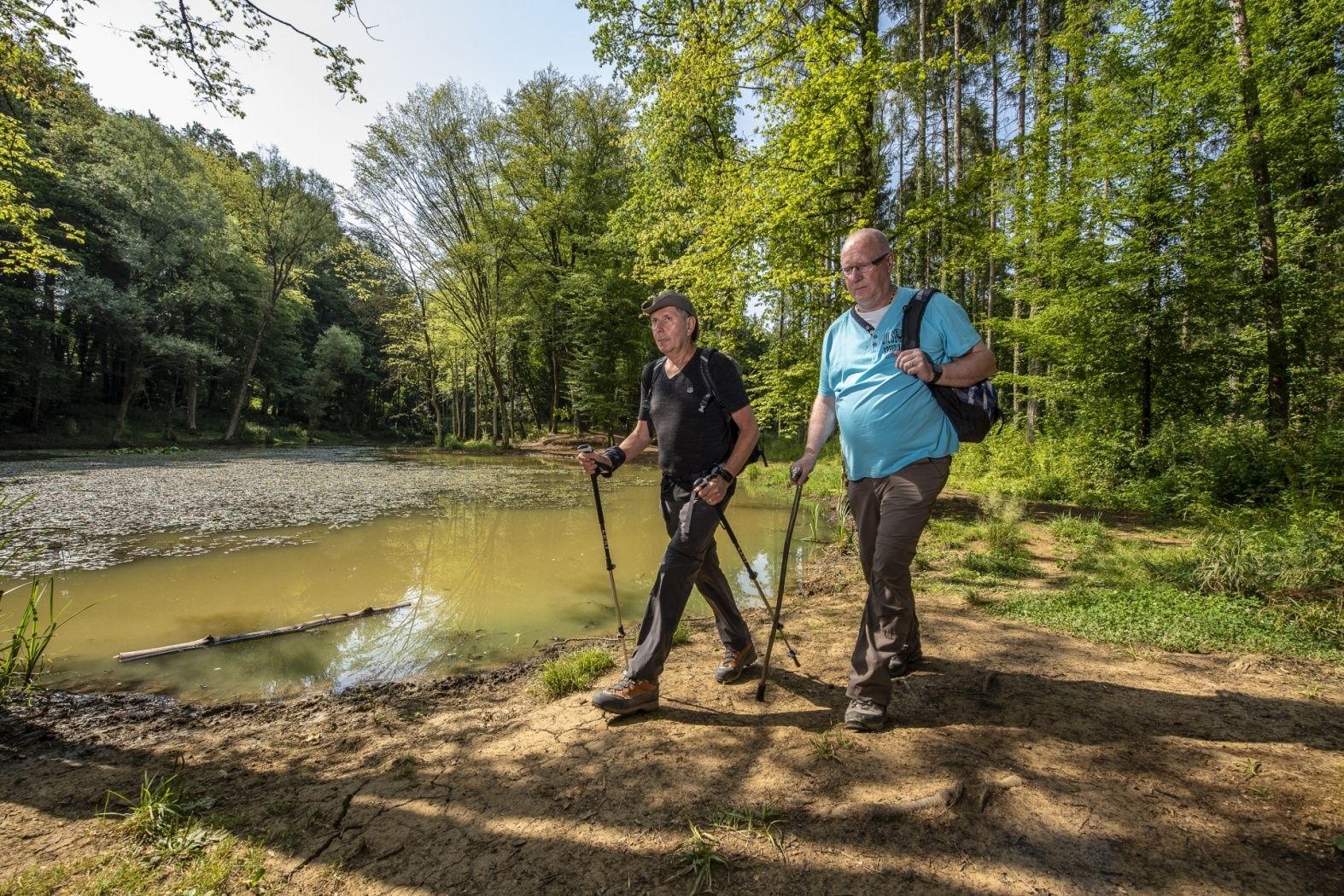
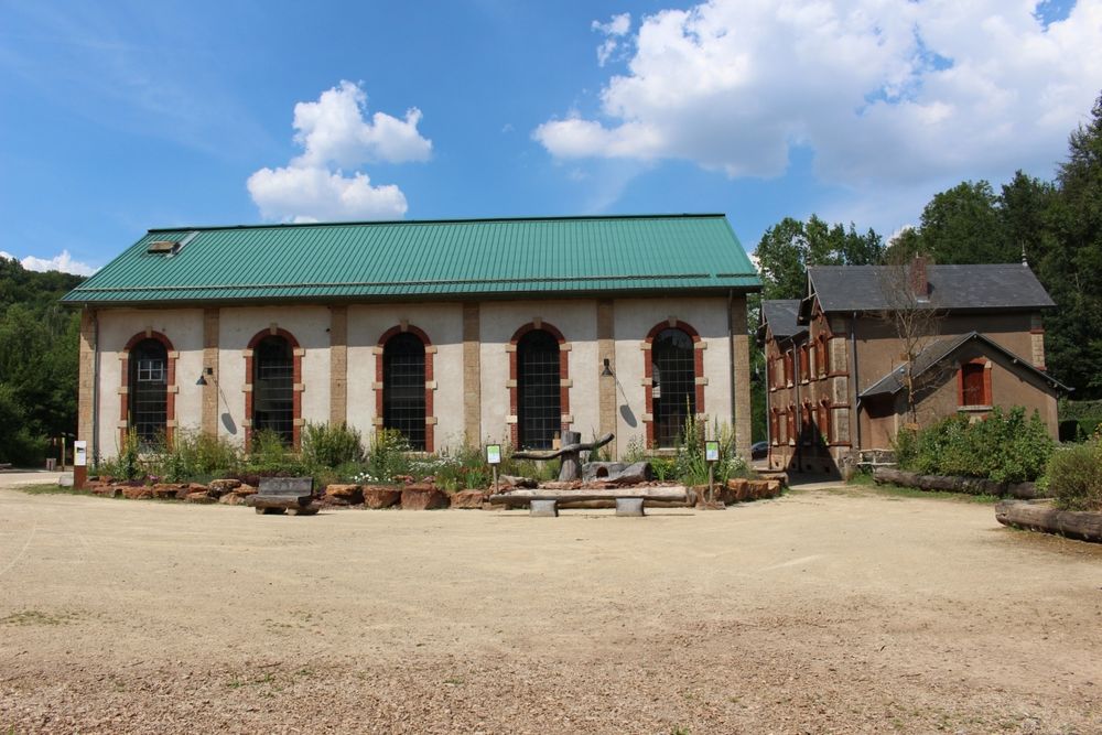
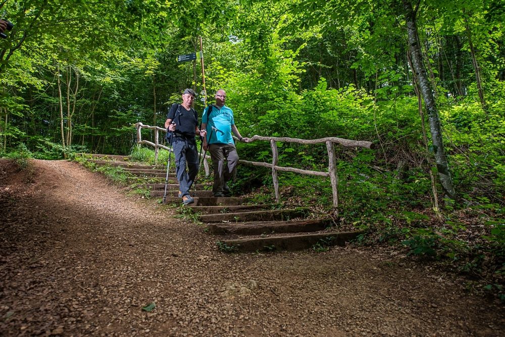
©Pulsa Pictures, ORT SUD
Minett Germany France

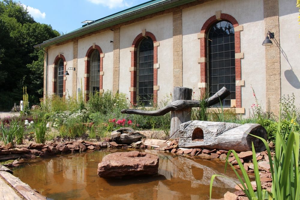
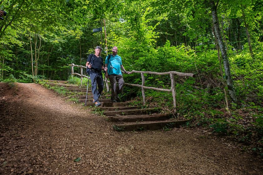
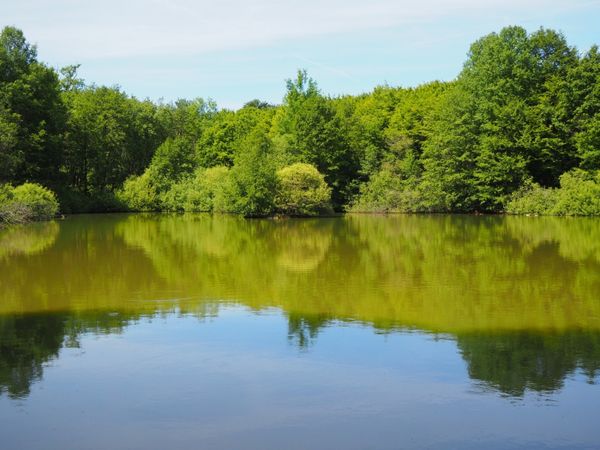
Educational trail “Ellergronn"

Hunting Season 2025/26 — Check for hunts

Autumn is here, and that means hunting season has begun! From mid-October to January/February, hunters are active across the country. Stay safe by checking hunt dates in your area on our Map. 

Click on Map in the Header > Services > More > Hunting.

Starting point

Centre Nature et Forêt Ellergronn, rue Jean-Pierre Bausch L-4114 Esch-sur-Alzette

Destination

Centre Nature et Forêt Ellergronn, Rue Jean-Pierre Bausch, 4114 Esch-sur-Alzette

Distance
3,24 km
Difficulty
medium
  • Condition
Highest point
366 Hm
Lowest point
321 Hm
Aggregated Ascent
87 Hm
Aggregated Descent
87 Hm
Thematic paths Visit Luxembourg

Description

Understanding nature and its diversity

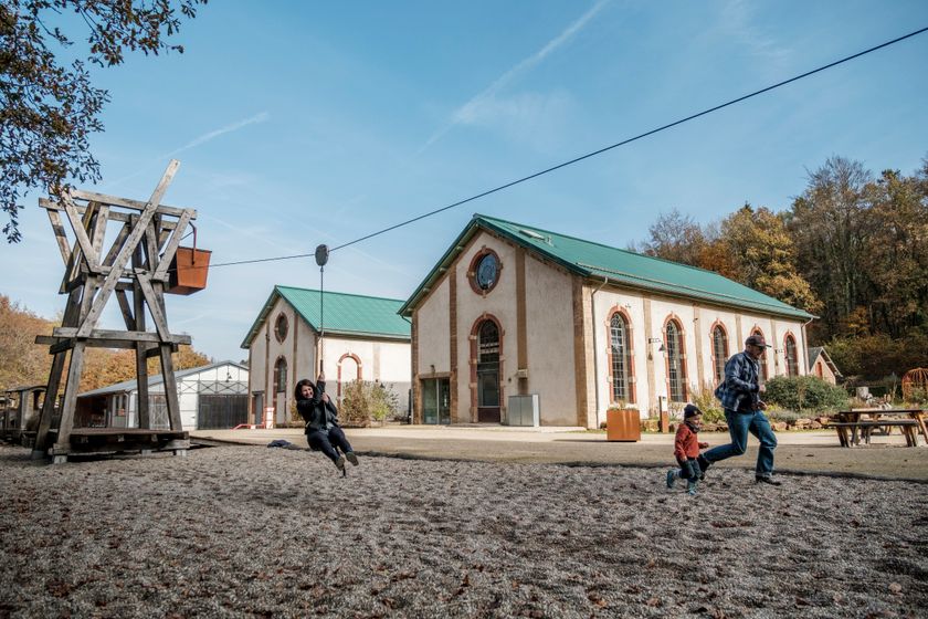
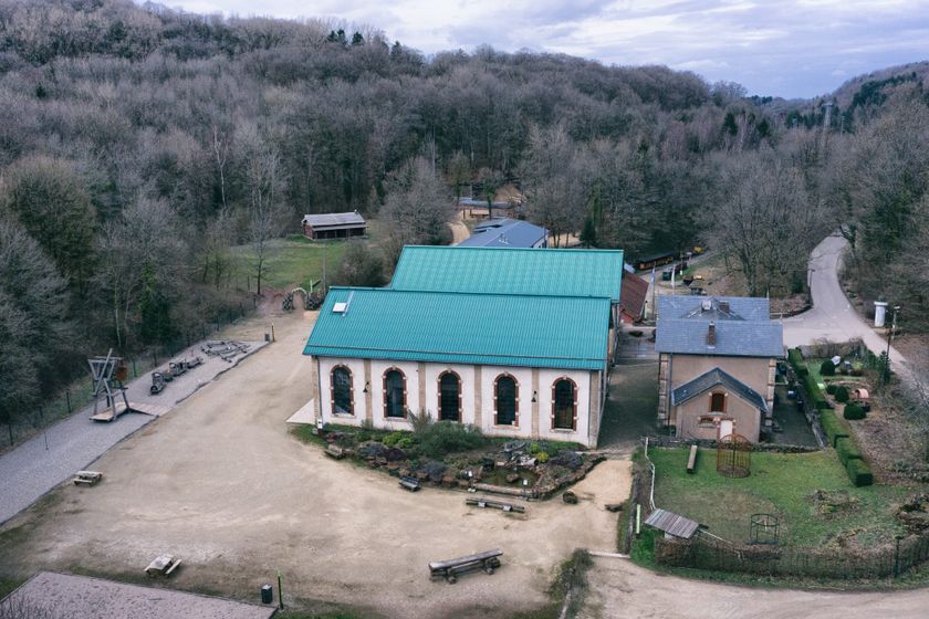
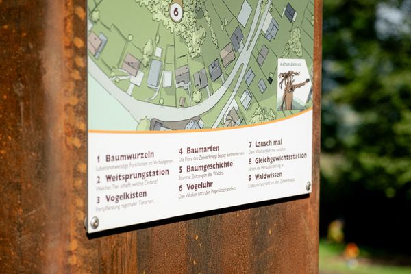
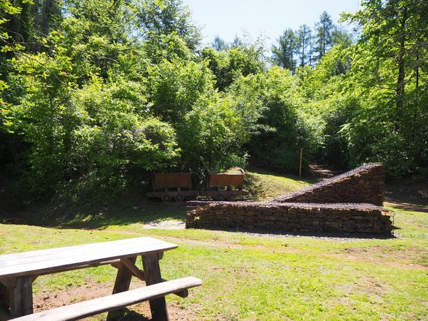
Numbered orientation points along the path mark the highlights and special features of the nature reserve. Despite its short length, the hiking trail offers plenty of opportunities to discover the numerous still visible traces of mining in a kind of time travel. Visitors also experience a journey into the heart of remarkable biodiversity: the path goes through different habitats and thus provides the opportunity to observe the local rare fauna, flora, and fungi diversity.

© ANF - Translation ORT Sud

Suggestions nearby

Educational trail “Ellergronn"

  • ©Pulsa Pictures ORT Sud
    Nature reserve "Ellergronn"
    From mining to nature reserve
    Find out more
  • ©Pancake!
    Playground Centre nature et forêt Ellergronn
    Playground Centre nature et forêt Ellergronn
    Find out more
  • ©Ville d'Esch
    Centre nature et forêt Ellergronn
    Experience the diversity of nature and learn more about the relationships in the nature reserves
    Find out more
  • ©Ville d'Esch
    Museum of the Cockerill Mine at Ellergronn
    Exceptional legacy from the mining era
    Find out more
  • ©Ville d'Esch
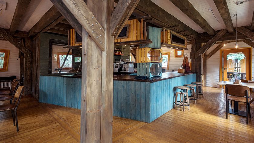
    Escher Bamhauscafé
    Café
    Find out more
  • ©ORT Sud
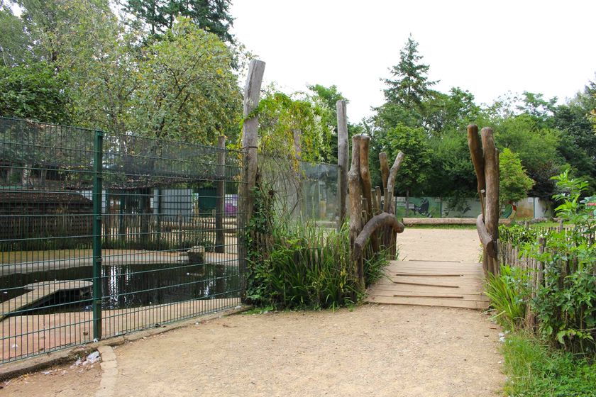
    Escher Déierepark - Animal Park
    A real paradise for nature lovers, just a short trip from city centre
    Find out more

Similar hiking tours

©Pulsa Pictures, ORT SUD
Thematic paths
Didactic trail "Natura 2000" - Ellergronn
Distance: 11,89 km
Duration: 3:10 h
Difficulty: medium
Find out more
©Gemeng Suessem
Naturléierpad Zolwerknapp
Distance: 1,01 km
Duration: 0:20 h
Difficulty: medium
Find out more
©ORT Sud
Circular routes
Auto-Pédestre Route Belvaux
Distance: 9,14 km
Duration: 2:45 h
Difficulty: medium
Find out more
©ORT Sud
Circular routes
Auto-Pédestre hiking trail Rodange
Distance: 7,80 km
Duration: 2:10 h
Difficulty: medium
Find out more
©ORT Sud
Circular routes
Auto-Pédestre route Rumelange - Walert
Distance: 8,89 km
Duration: 2:25 h
Difficulty: medium
Find out more
©Pulsa Pictures, ORT SUD
Minett Trail
Minett Trail: Differdange Gare - Belval-Rédange Gare
Distance: 8,15 km
Duration: 2:15 h
Difficulty: medium
Find out more
©Pulsa Pictures, ORT SUD
Circular routes
Discovery trail „Prënzebierg - Giele Botter"
Distance: 7,64 km
Duration: 2:10 h
Difficulty: medium
Find out more
©Pulsa Pictures, ORT SUD
Circular routes
Auto-Pédestre route Pétange
Distance: 7,61 km
Duration: 2:05 h
Difficulty: medium
Find out more
©Claude Piscitelli, Claude Piscitelli
Minett Trail
Minett Trail: Belval-Rédange Gare - Esch-sur-Alzette Gare
Distance: 6,35 km
Duration: 1:35 h
Difficulty: medium
Find out more
outdooractive This website uses technology and content from the Outdooractive Platform.