©ORT Sud
Minett Germany France

Auto-Pédestre trail Mondercange

Hunting Season 2025/26 — Check for hunts

Autumn is here, and that means hunting season has begun! From mid-October to January/February, hunters are active across the country. Stay safe by checking hunt dates in your area on our Map. 

Click on Map in the Header > Services > More > Hunting.

Starting point

4, Rue d'Esch L-3920 Mondercange

Destination

4, Rue d'Esch L-3920 Mondercange

Distance
7,24 km
Duration
1:50 h
Difficulty
medium
  • Condition
Highest point
349 Hm
Lowest point
290 Hm
Aggregated Ascent
71 Hm
Aggregated Descent
71 Hm
Circular routes Visit Luxembourg

Description

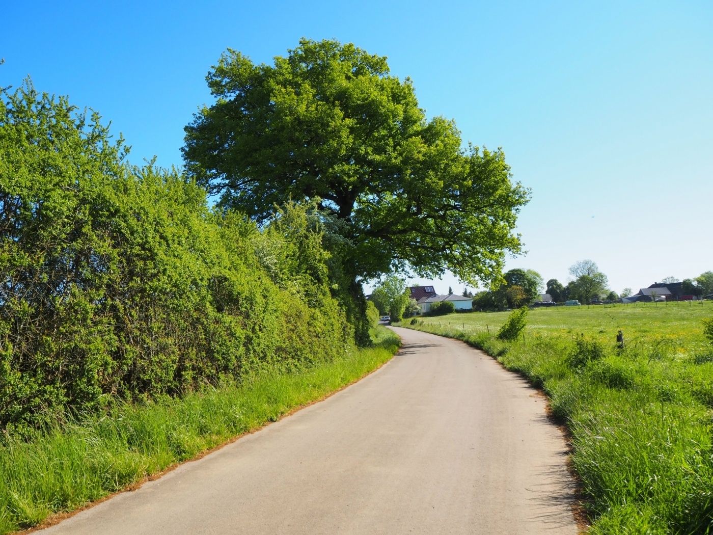
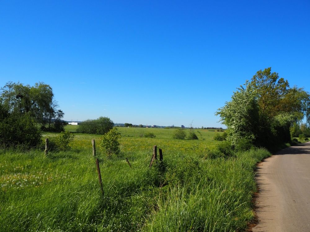
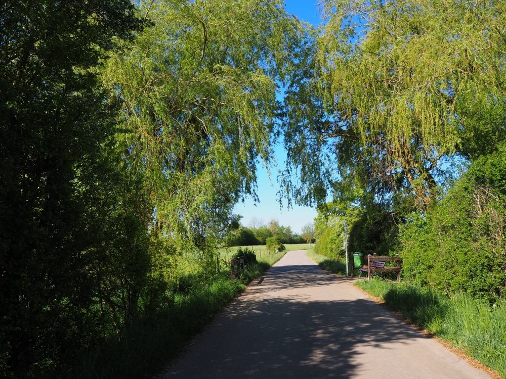
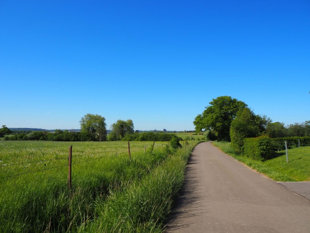
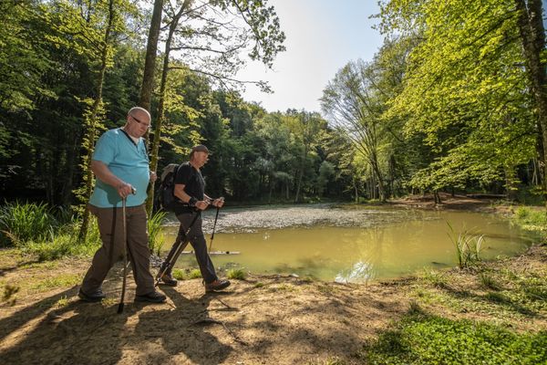
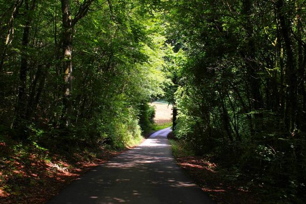
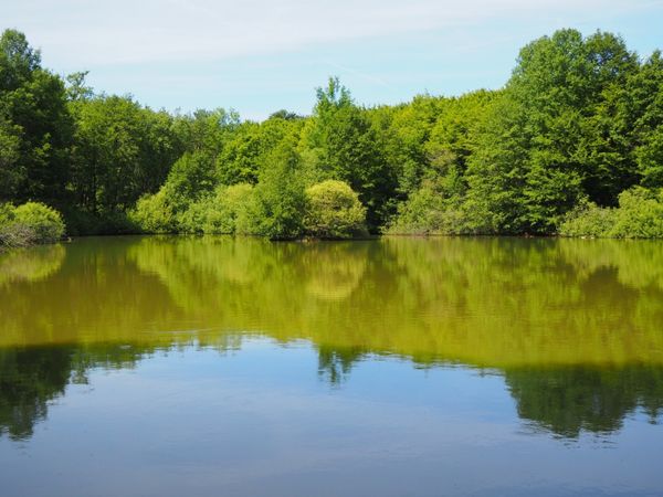
Walk along the Auto-Pédestre hiking route Mondercange.

The Auto-Pédestre Mondercange starts in the town center and leads out onto the fields. In clear weather, you can even see the blast furnaces in Belval! This very easy route is perfect for stretching your legs on a long walk with the family.

Current conditions

Source: Nora, Published: 2025-06-17
Deviation
Notice: Part of the hiking trail is closed, please follow the marked detour.

Suggestions nearby

Auto-Pédestre trail Mondercange

  • ©ORT SUD
    Playground Mondercange
    Playground Mondercange
    Find out more

  • No image available
    Restaurant Le Colibri Bleu
    Restaurant Le Colibri Bleu
    Find out more
  • Park Molter
    A place to relax, play, and connect – in the heart of Mondercange.
    Find out more
  • ©Hotel Monvillage
    Hotel Monvillage
    S
    Pets allowedAccessibleWifiParkingSituated in the centre of town

Similar hiking tours

©Pulsa Pictures, ORT SUD
Thematic paths
Didactic path "Natura 2000" - Ellergronn
Distance: 11,89 km
Duration: 3:10 h
Difficulty: medium
Find out more
©Gemeng Suessem
Didactic path "Zolwerknapp"
Distance: 1,01 km
Duration: 0:20 h
Difficulty: medium
Find out more
©ORT Sud
Circular routes
Auto-Pédestre trail Rumelange - Walert
Distance: 8,89 km
Duration: 2:25 h
Difficulty: medium
Find out more
©Pulsa Pictures, ORT SUD
Minett Trail
Minett Trail: Differdange Gare - Belval-Rédange Gare
Distance: 8,15 km
Duration: 2:15 h
Difficulty: medium
Find out more
©Pulsa Pictures, ORT Sud
Circular routes
Auto-Pédestre trail Rumelange - Gare
Distance: 6,84 km
Duration: 2:05 h
Difficulty: medium
Find out more
©Pulsa Pictures, ORT SUD
Circular routes
Didactic path „Prënzebierg - Giele Botter"
Distance: 7,64 km
Duration: 2:10 h
Difficulty: medium
Find out more
©Claude Piscitelli, Claude Piscitelli
Minett Trail
Minett Trail: Belval-Rédange Gare - Esch-sur-Alzette Gare
Distance: 6,35 km
Duration: 1:35 h
Difficulty: medium
Find out more
©Pulsa Pictures, Pulsa Pictures_ORT Sud
Minett Trail
Minett Trail: Tétange Gare - Rumelange Gare
Distance: 7,79 km
Duration: 2:10 h
Difficulty: medium
Find out more
©ORT Sud
Distance trails
23 Station to station Rumelange - Kayl
Distance: 12,57 km
Duration: 3:25 h
Difficulty: medium
Find out more
outdooractive This website uses technology and content from the Outdooractive Platform.