©ORT Sud
Minett Germany France

Auto-Pédestre trail Schifflange

Hunting Season 2026/27 — Check for hunts

Autumn is here, and that means hunting season has begun! From mid-October to January/February, hunters are active across the country. Stay safe by checking hunt dates in your area on our Map. 

Click on Map in the Header > Services > More > Hunting.

Starting point

Cemetery in Schifflange, Mnt du Cimetière L-3815 Schifflange

Destination

Cemetery in Schifflange, Mnt du Cimetière L-3815 Schifflange

Distance
7,65 km
Duration
2:15 h
Difficulty
medium
  • Condition
Highest point
410 Hm
Lowest point
315 Hm
Aggregated Ascent
150 Hm
Aggregated Descent
150 Hm
Circular routes Visit Luxembourg

Description

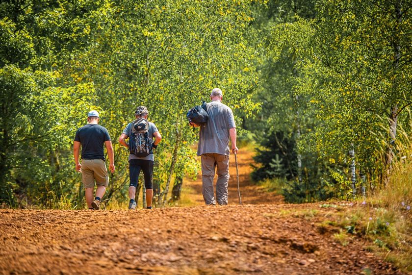
Hike on the Auto-Pédestre route Schifflange.

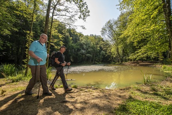
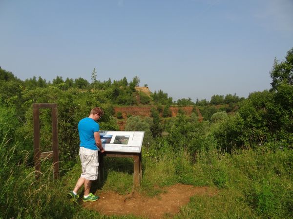
For the most part, the route leads through the shady forests of Schifflange. It has several highlights for you: for example, the seven mermaids at the source of Marxeweier, a former mine entrance, and a magnificent view from Lalléngerbierg over the red earth to the Belval district with its two blast furnaces.

Suggestions nearby

Auto-Pédestre trail Schifflange

  • ©Simpleviu
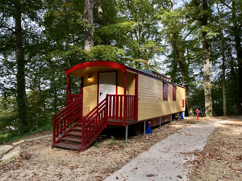
    Kabaisercher: Zirkuswon Schifflange
    Pets allowedGarden / Park
  • ©Pulsa Pictures_ORT SUD
    Nature reserve "Brucherbierg - Lallengerbierg"
    A unique walk among butterflies and orchids
    Find out more
  • Swimming Pool Schifflange
    Swimming Pool Schifflange
    Find out more

Similar hiking tours

©Pulsa Pictures, ORT SUD
Circular routes
Lokaler Wanderweg "Fitness & Promenades 1" (yellow)
Distance: 1,74 km
Duration: 0:30 h
Difficulty: medium
Find out more
©Pulsa Pictures, ORT SUD
Circular routes
Local hiking trail "Fitness & Promenades 4" (red)
Distance: 4,80 km
Duration: 1:15 h
Difficulty: medium
Find out more
©Gemeng Suessem
Thematic paths
Nature Trail "Zolwerknapp"
Distance: 1,01 km
Duration: 0:20 h
Difficulty: medium
Find out more
©Pulsa Pictures, ORT SUD
Thematic paths
Nature walk "Natura 2000" - Ellergronn
Distance: 11,89 km
Duration: 3:10 h
Difficulty: medium
Find out more
©Pulsa Pictures, ORT SUD
Circular routes
Local hiking trail "Fitness & Promenades 3" (Blue)
Distance: 5,70 km
Duration: 1:35 h
Difficulty: medium
Find out more
©Visit Minett
Circular routes
Local hiking trail - Memorial Walk "Resistenz-Wee Rumelange"
Distance: 7,38 km
Duration: 1:55 h
Difficulty: medium
Find out more
©Pulsa Pictures, ORT SUD
Circular routes
Lokaler Wanderweg "Fitness & Promenades 2" (Green)
Distance: 4,81 km
Duration: 1:15 h
Difficulty: medium
Find out more
©ORT Sud
Distance trails
29 CFL hiking routes from station to station: Niederkorn - Rodange
Distance: 10,12 km
Duration: 2:55 h
Difficulty: medium
Find out more
©Gemeng Suessem, Gemeng Suessem
Circular routes
Local hiking trail "De Wee vum Steen"
Distance: 4,57 km
Duration: 1:15 h
Difficulty: medium
Find out more
outdooractive This website uses technology and content from the Outdooractive Platform.