Description
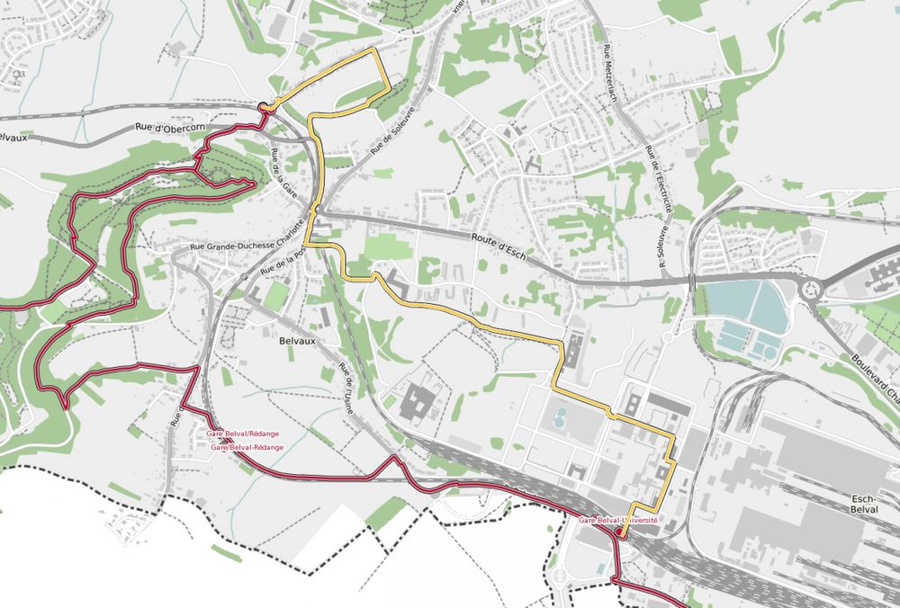
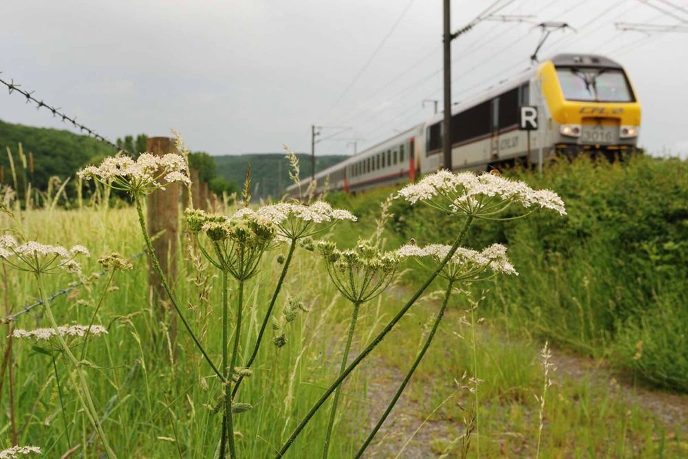
Hike from station to station, between Belvaux-Soleuvre and Belval-Université
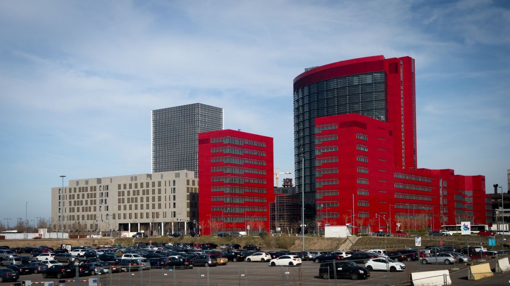
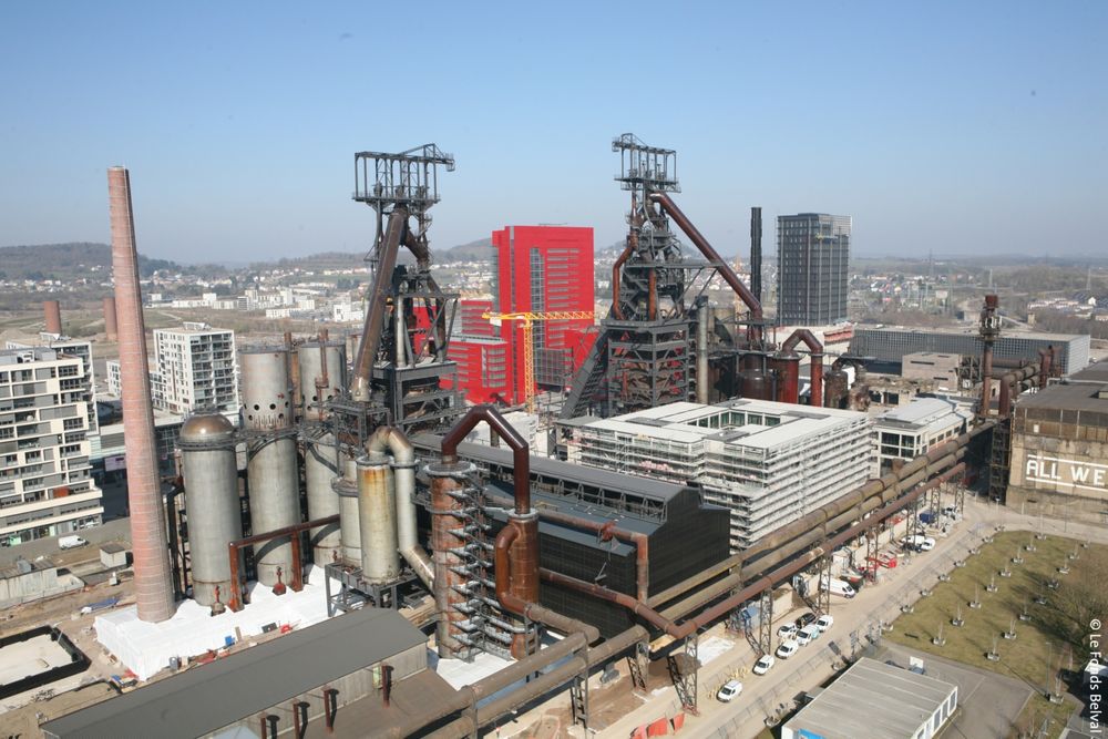
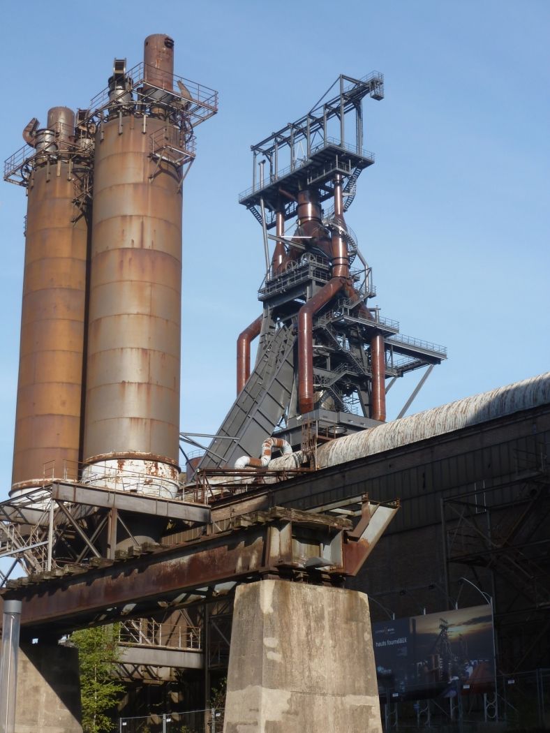
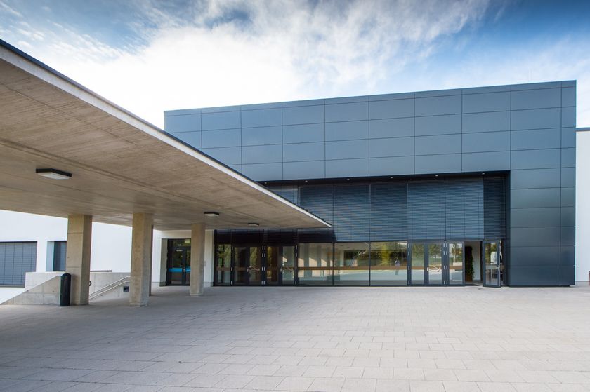
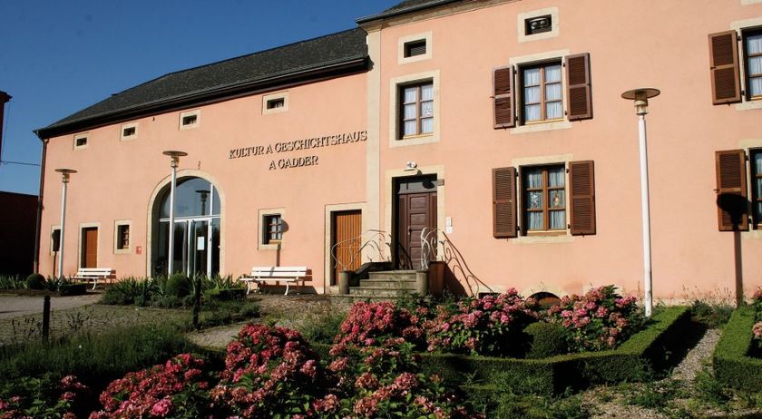
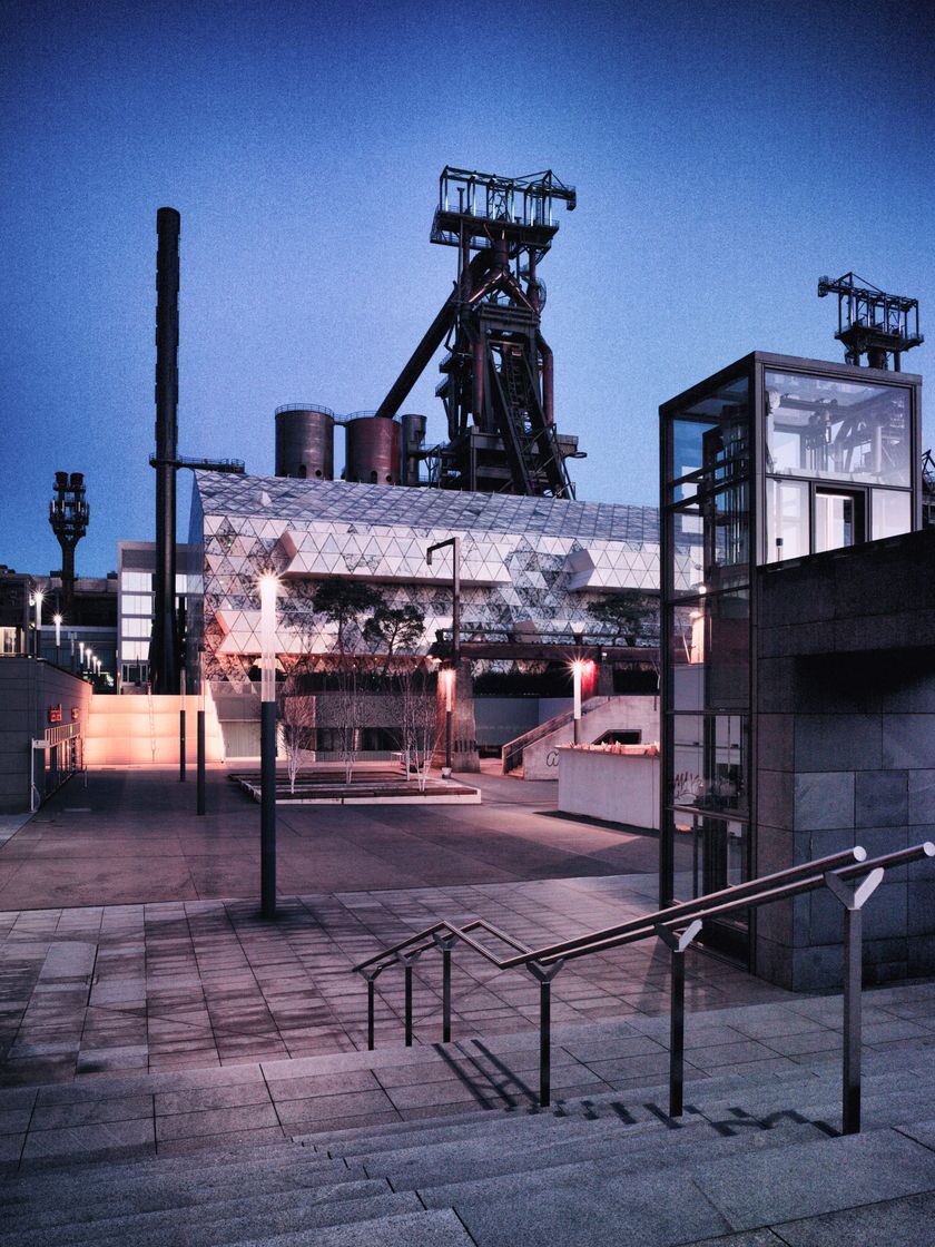
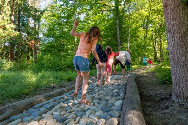
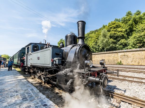
The route offers views of the former Esch-Belval industrial area, once the center of Luxembourg's steel production. Today, Belval is a new economic and service center, which also hosts the University of Luxembourg. The associated ultra-modern Belval-Université station can be reached after the first 3.5 km of this hike. In the final section, starting approximately from Belval-Rédange station, the path rises by about 100 m. This last station is located near the French border. It serves the towns of Belvaux (L) and Rédange (F). This hike ends at Belvaux-Soleuvre station.
Extension options: CFL hiking trails 24, Belvaux-Soleuvre – Belval-Université (4.2 km) or 27, Belvaux-Soleuvre – Oberkorn (4.8 km).
Signposting
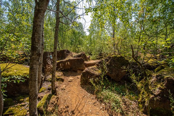
Directions
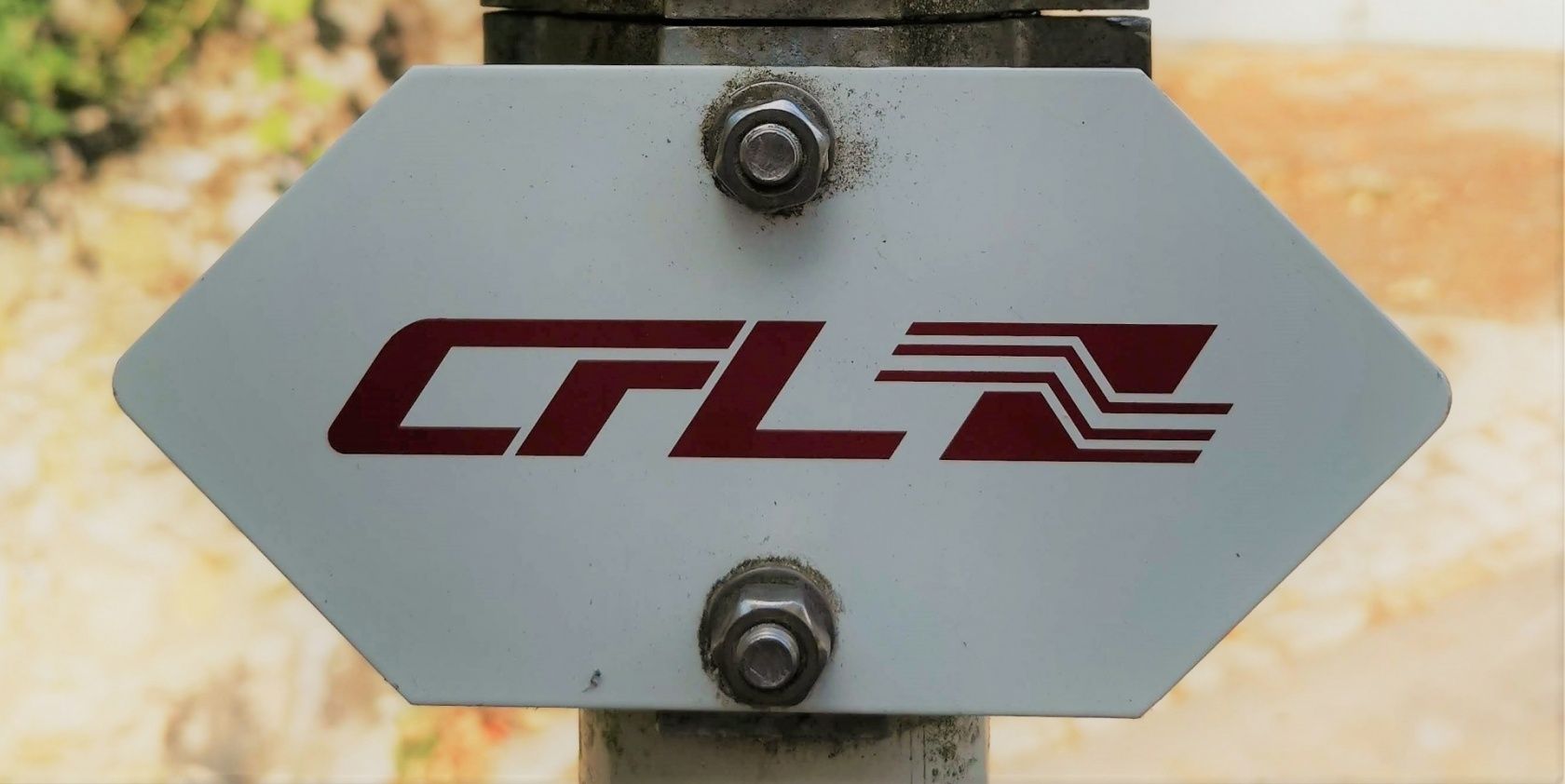
Please follow the signs labelled "CFL"
For your safety
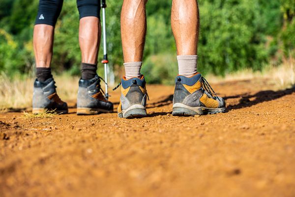
Remember sturdy footwear and weatherproof clothing.
Equipment
Bring enough drinking water and provisions for the route.
Journey
Start and finish are located at a train station.
Parking:
Parking available on site.


 This website uses technology and content from the Outdooractive Platform.