©ORT Sud
Minett Germany France

Auto-Pédestre trail Bergem

Hunting Season 2026/27 — Check for hunts

Autumn is here, and that means hunting season has begun! From mid-October to January/February, hunters are active across the country. Stay safe by checking hunt dates in your area on our Map. 

Click on Map in the Header > Services > More > Hunting.

Starting point

Centre Culturel "Beim Nëssert" - 14, Rue de Schifflange L-3316 Bergem

Destination

Centre Culturel "Beim Nëssert" - 14, Rue de Schifflange L-3316 Bergem

Distance
8,09 km
Duration
2:05 h
Difficulty
easy
  • Condition
Highest point
358 Hm
Lowest point
288 Hm
Aggregated Ascent
110 Hm
Aggregated Descent
110 Hm
Circular routes Visit Luxembourg

Description

Kids & Family
Slow down the pace : A relaxing route through nature on the Auto-Pédestre hiking trail Bergem

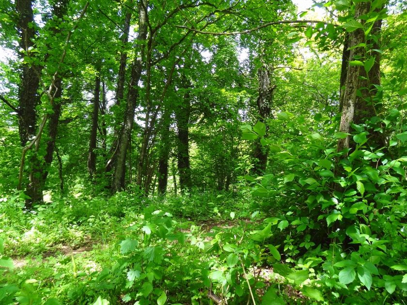
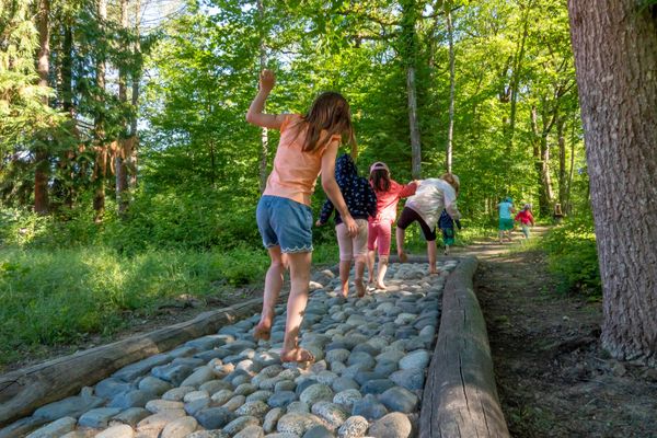
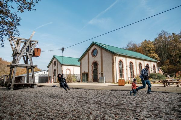
"Starting in Bergem, this popular 8-kilometre route takes you on tarmac tracks and short woodland trails. It’s flat enough for prams and pushchairs – perfect for a fun family adventure with the kids. Just wait until the little ones spot the tractor slide at the playground!

(©Editions Guy Binsfeld)" 

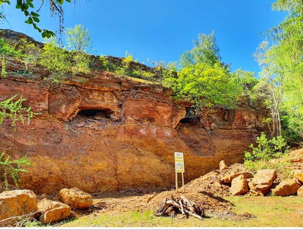
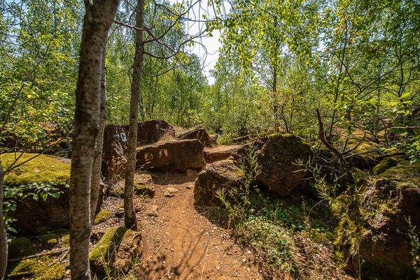
The route first takes us through fields and then past the forests of Bettembourg and Leudelange. On the way back, we see the ponds of Mettendall, where fishing is only allowed with a fishing license issued by the Mondercange Monnerecher Ellchen Anglers Association.

In the nearby city of Esch-sur-Alzette, there is a wide range of cultural and historical offerings as well as several hotels and restaurants; historical insights into the dark chapters of history can be gained at the National Resistance Museum: https://mnr.lu/ 

Suggestions nearby

Auto-Pédestre trail Bergem

  • Nature reserve "Beetebuerger Bësch"
    Nature reserve "Beetebuerger Bësch"
    Find out more
  • ©Visit Minett
    Kabaisercher: Biergemer Kabaisercher
    Pets allowedParkingSituated in the centre of townWifi

Similar hiking tours

©ORT Sud
Circular routes
Natura 2000 nature trail - Loop B: “The exploitation of iron ore lands, past and present” – 4.5 km
Distance: 4,88 km
Duration: 1:15 h
Difficulty: easy
Find out more
©ORT Sud
Circular routes
Local hiking route "Parc Le'h" - children’s route
Distance: 1,46 km
Duration: 0:25 h
Difficulty: easy
Find out more
©Ville de Dudelange, Ville de Dudelange
Circular routes
Local hiking trail Dudelange - "Buerfousswee"
Distance: 0,64 km
Duration: 0:10 h
Difficulty: easy
Find out more
©Pancake!
Circular routes
Nature walk Natura 2000 - Boucle A: « L’homme et la forêt » – 5 km
Distance: 5,51 km
Duration: 1:30 h
Difficulty: easy
Find out more
©KuFa
Circular routes
Nature walk Natura 2000 - Boucle C: "La succession végétale sur un ancien territoire minier" – 2,5 km
Distance: 2,68 km
Duration: 0:45 h
Difficulty: easy
Find out more
©Pulsa Pictures, ORT SUD
Circular routes
Local hiking trail Esch: Burgronn - 3 km
Distance: 2,97 km
Duration: 0:45 h
Difficulty: easy
Find out more
©ORT SUD
Minett Trail
Minett Trail: Belval-Université - Esch-sur-Alzette Gare (Alternative)
Distance: 4,00 km
Duration: 1:00 h
Difficulty: easy
Find out more
©ORT SUD
Circular routes
Local hiking trail Esch: Sentier Norbert Theis Trail – 7km
Distance: 7,98 km
Duration: 2:15 h
Difficulty: easy
Find out more
©Pulsa Pictures, ORT Sud
Circular routes
Auto-Pédestre trail Dudelange - Haard
Distance: 7,33 km
Duration: 2:00 h
Difficulty: easy
Find out more
outdooractive This website uses technology and content from the Outdooractive Platform.