Circular routes Visit Luxembourg
Description
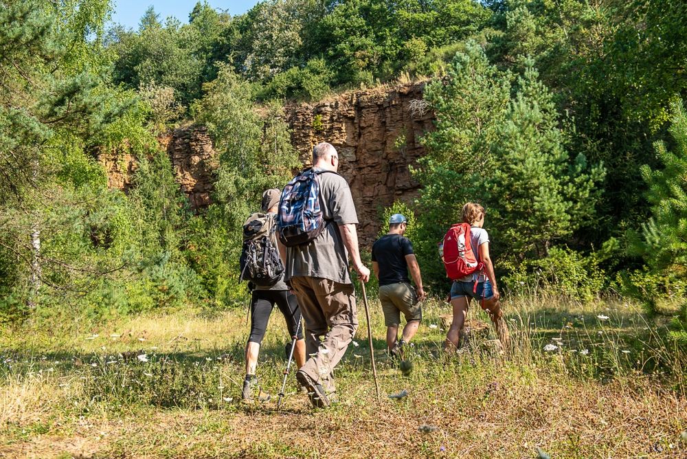
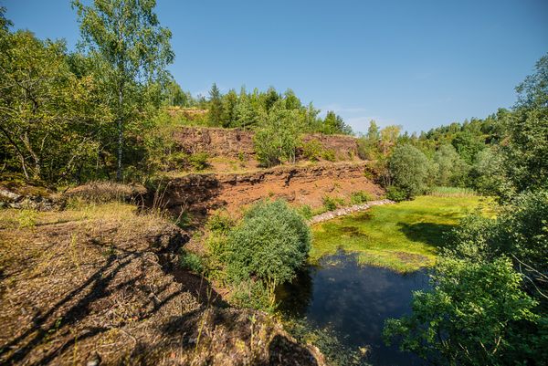
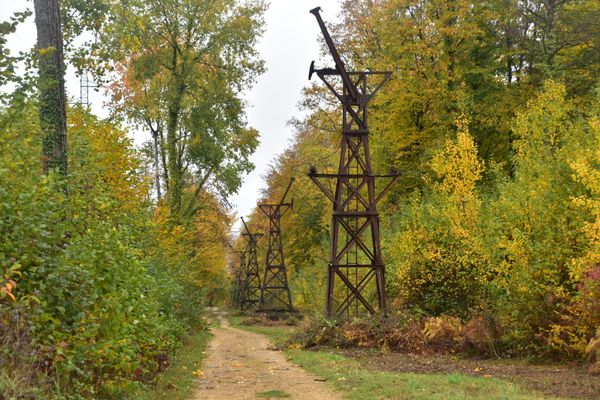
Jogging and fitness through nature reserves and open-cast mining areas
One of a total of 7 circular routes near Rumelange, all of which differ in length and altitude. What they all have in common is the varied surroundings and the inclines and declines that invite you to get physically active.
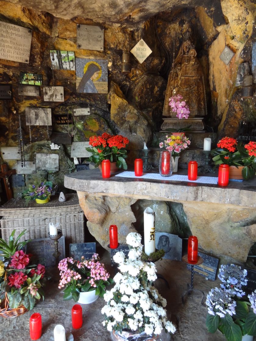
This loop leads over the longest loop route through the former open-cast mine near Rumelange and over to Tétange, along the way also bordering the "Léiffrächen" nature reserve.
Signposting
Directions
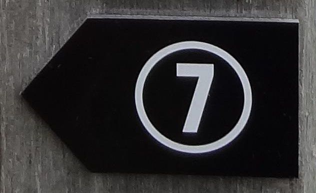
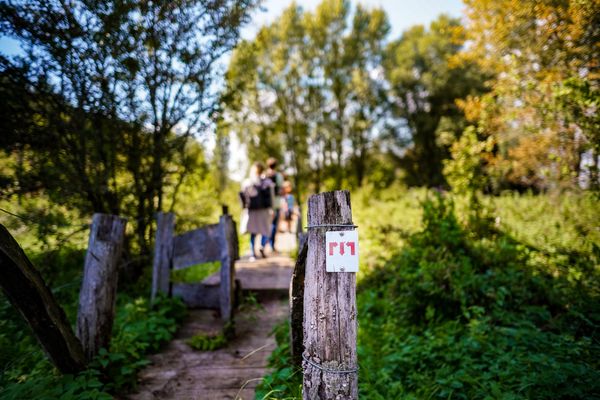
Follow the signs (black arrow with white "7")
From the starting point, there are also six other trails of varying lengths; these are signposted separately and in different colors, but are partly congruent with this trail.
Equipment
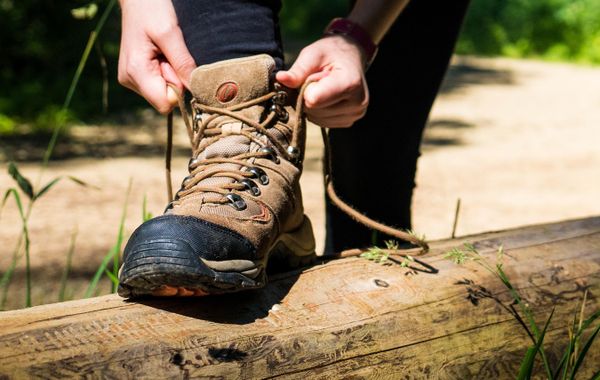
Remember to wear clothing suitable for the weather and sturdy shoes
Journey
Parking:
Parking possible on site at the starting point

 This website uses technology and content from the Outdooractive Platform.