Circular routes Visit Luxembourg
Description
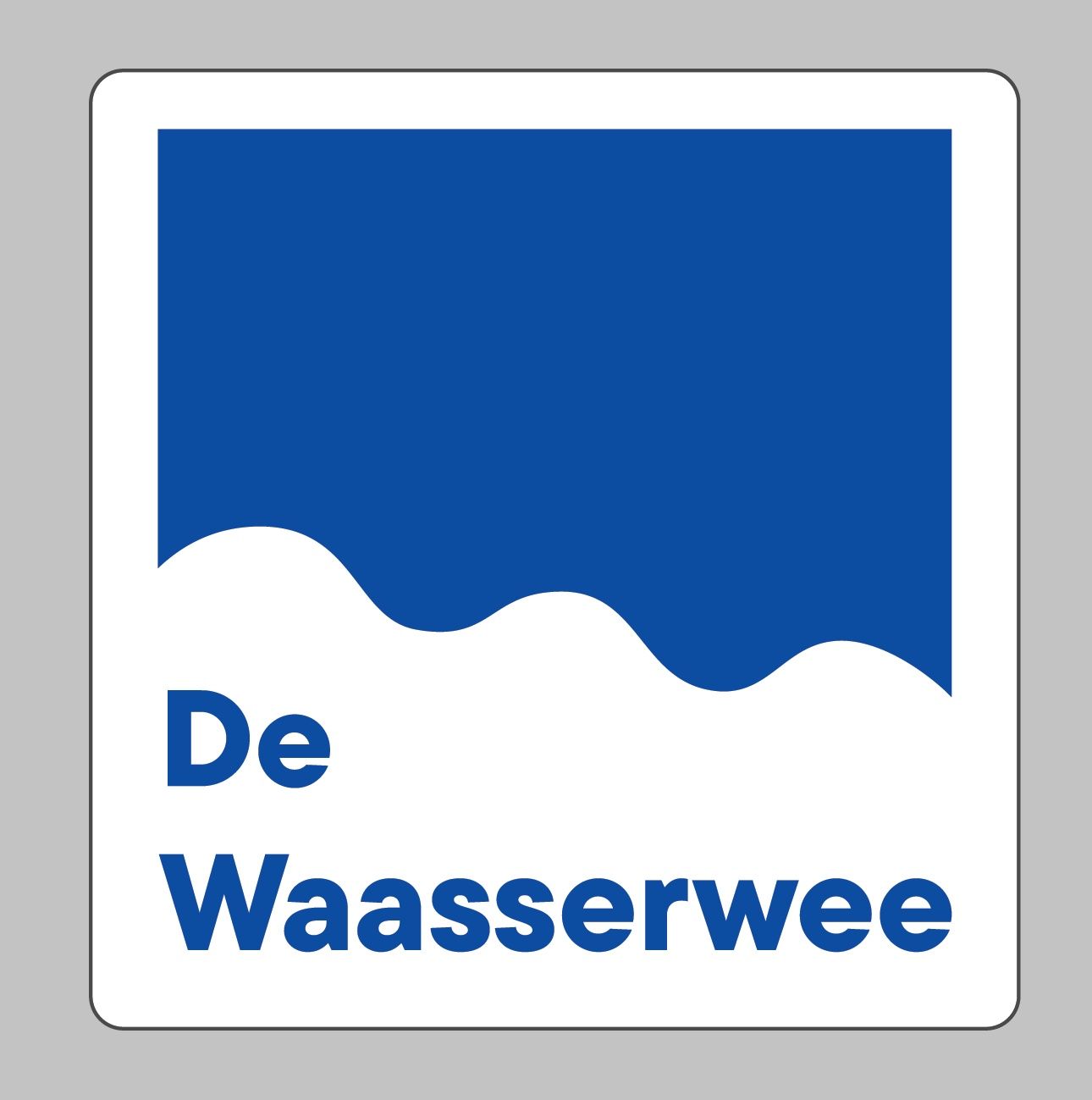
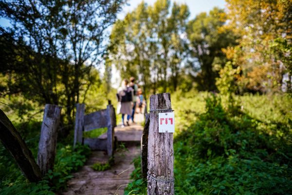
On the trail of the water droplets
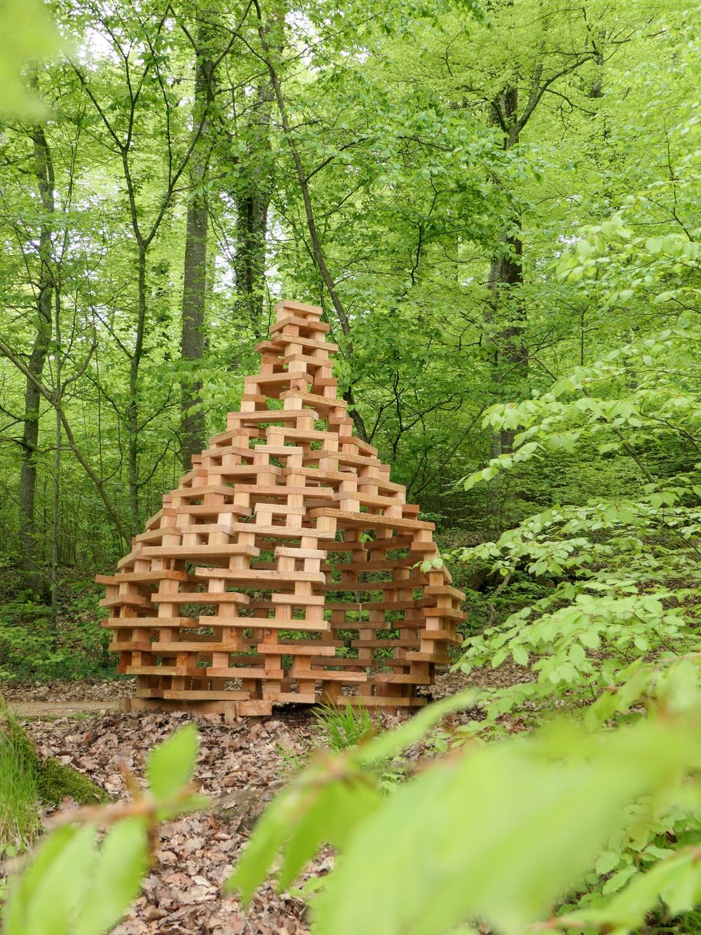
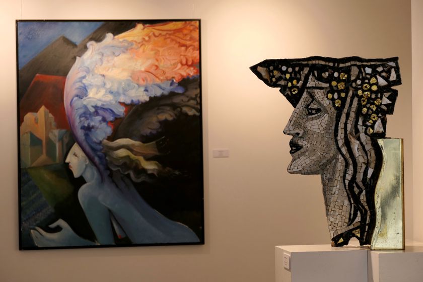
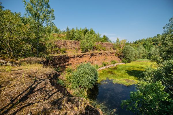
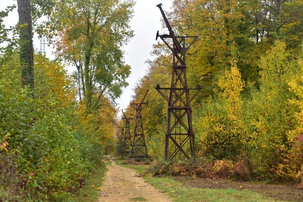
This local route leads through a significant part of Schifflange and provides information about the water supply; along the way, it manages at several stations, designed to resemble water droplets, to also tell some legends and myths about the watercourses and ponds of the municipality.
Signposting
Directions
Follow the signage (blue wave shape). The route also branches off into a shorter variant (green wave shape). The official starting point is at Schifflange station, but the route can also be started or ended at any other intermediate station along the way.
For your safety
Be careful when crossing busy roads
Equipment
Remember to bring plenty of provisions, sturdy footwear, and weather-appropriate clothing
Journey
Public transport:
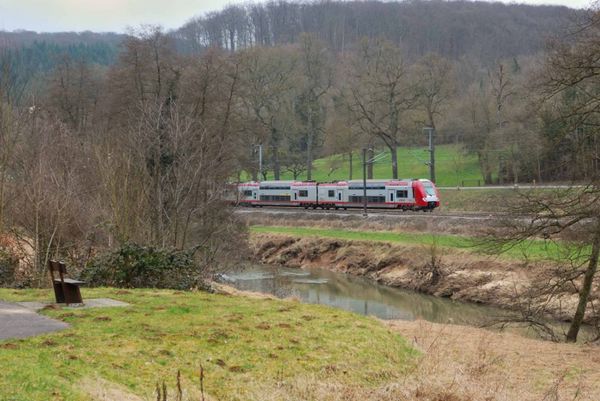
Starting point is at Schifflange station


 This website uses technology and content from the Outdooractive Platform.