©ORT Sud
Minett Germany France

Local hiking trail BB2 - Beetebuerger Bësch

Hunting Season 2025/26 — Check for hunts

Autumn is here, and that means hunting season has begun! From mid-October to January/February, hunters are active across the country. Stay safe by checking hunt dates in your area on our Map. 

Click on Map in the Header > Services > More > Hunting.

Starting point

Waldfriedhof "Jongebësch" parking - CR 163 between Abweiler and Leudelange

Destination

Waldfriedhof "Jongebësch" parking - CR 163 between Abweiler and Leudelange

Distance
12,78 km
Duration
3:20 h
Difficulty
difficult
  • Condition
Highest point
357 Hm
Lowest point
289 Hm
Aggregated Ascent
208 Hm
Aggregated Descent
208 Hm
Circular routes Visit Luxembourg

Description

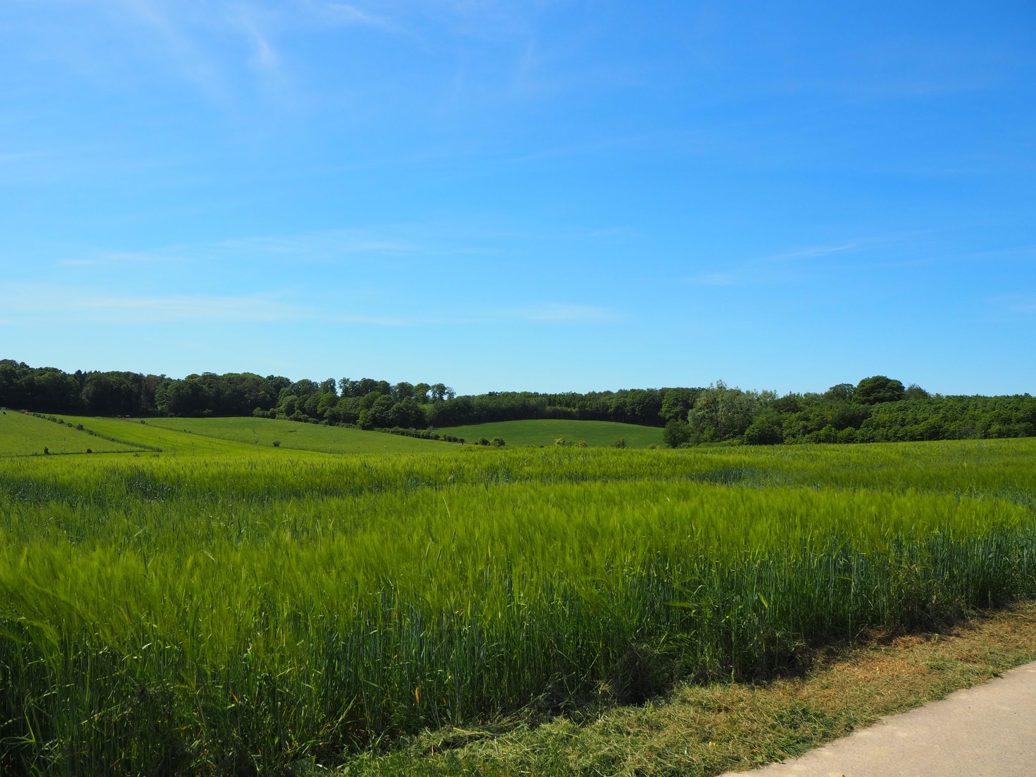
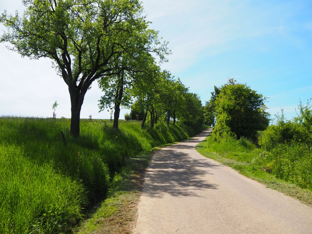
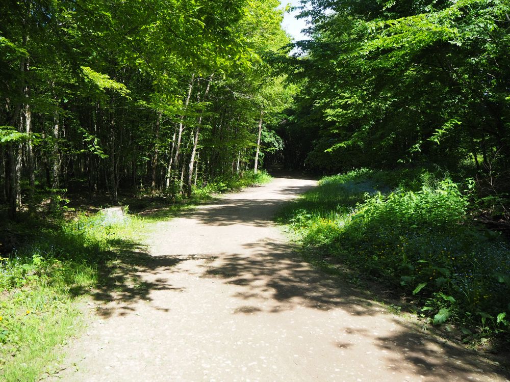
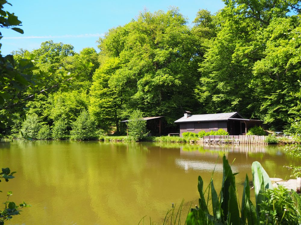
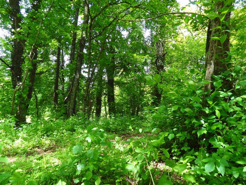
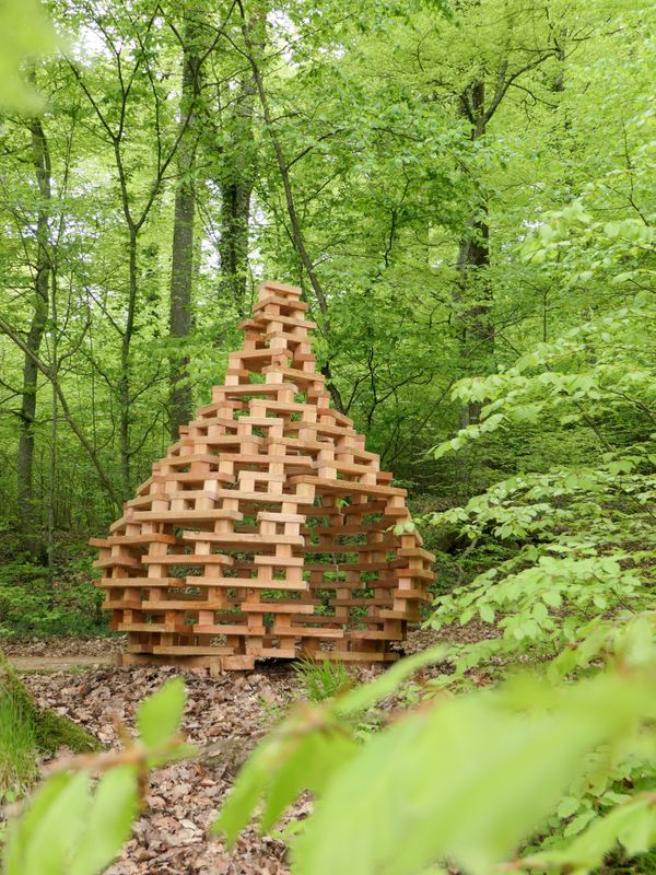
Enjoy the tranquility of the forest around Abweiler.

This longer hike near Abweiler is an absolute recommendation for a shady summer hike! Of the total 12.9 kilometers, 10 km lead exclusively through the forest. In the "Beetebuerger Bësch" nature reserve, you will witness impressive copper beeches with enormous crowns that form a virtually continuous canopy of leaves, thus keeping the summer heat away.

Suggestions nearby

Local hiking trail BB2 - Beetebuerger Bësch

  • Nature reserve "Beetebuerger Bësch"
    Nature reserve "Beetebuerger Bësch"
    Find out more

Similar hiking tours

©Visit Luxembourg
Distance trails
21 Station to station Bettembourg - Dudelange-Burange
Distance: 14,68 km
Duration: 3:50 h
Difficulty: difficult
Find out more
©Pulsa Pictures, Pulsa Pictures & ORT Sud
Minett Trail
Minett Trail: Pétange Gare - Differdange Gare
Distance: 16,60 km
Duration: 4:50 h
Difficulty: difficult
Find out more
©Visit Luxembourg
Distance trails
20 Station to station Luxembourg - Bettembourg
Distance: 35,24 km
Duration: 10:30 h
Difficulty: difficult
Find out more
outdooractive This website uses technology and content from the Outdooractive Platform.