Description
Welcome to the Minettswee.
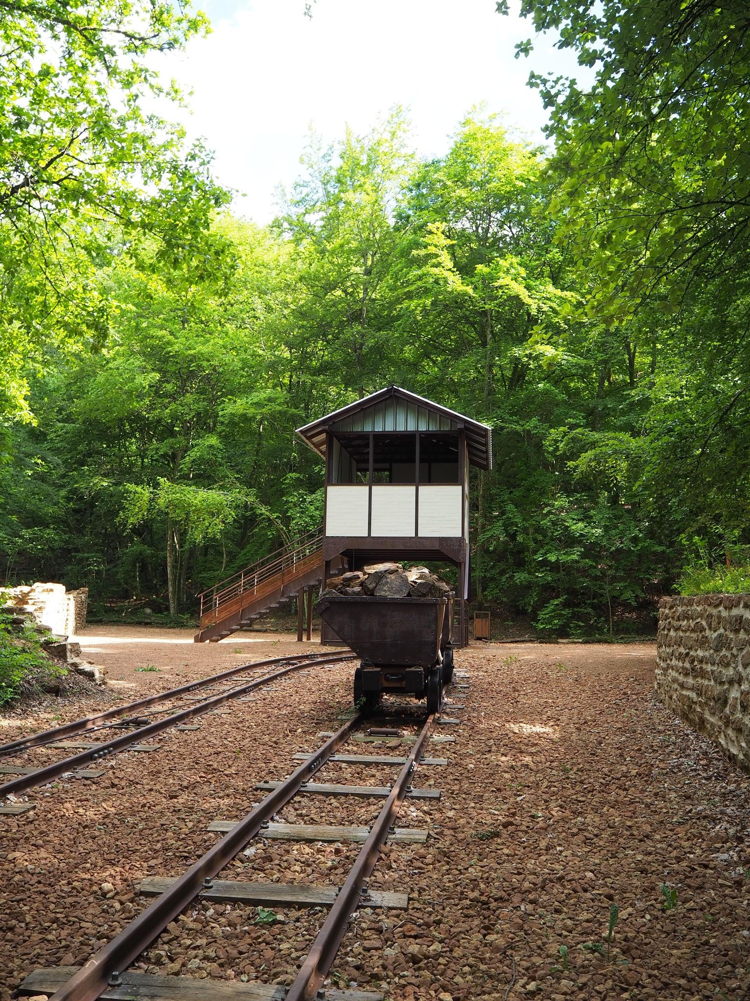
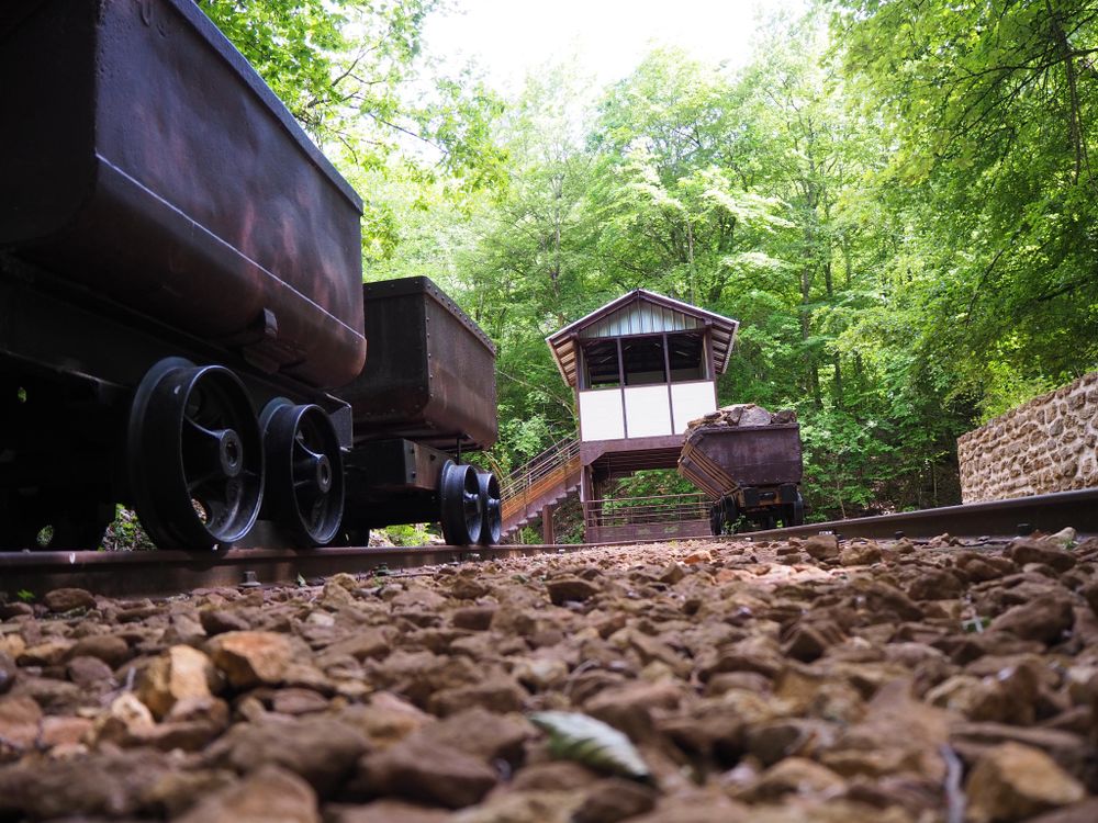
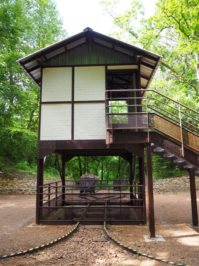
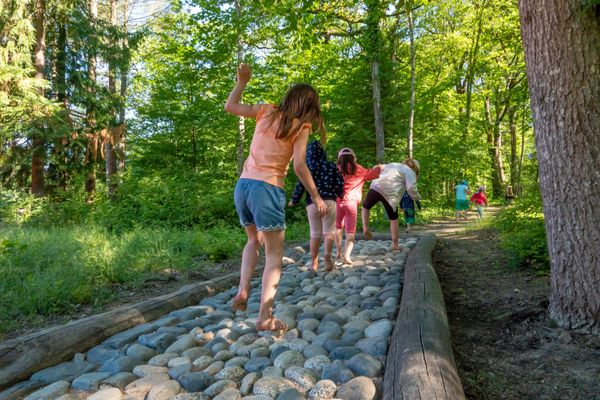
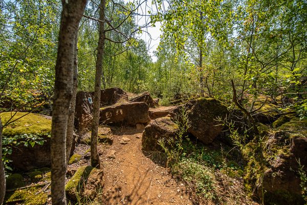
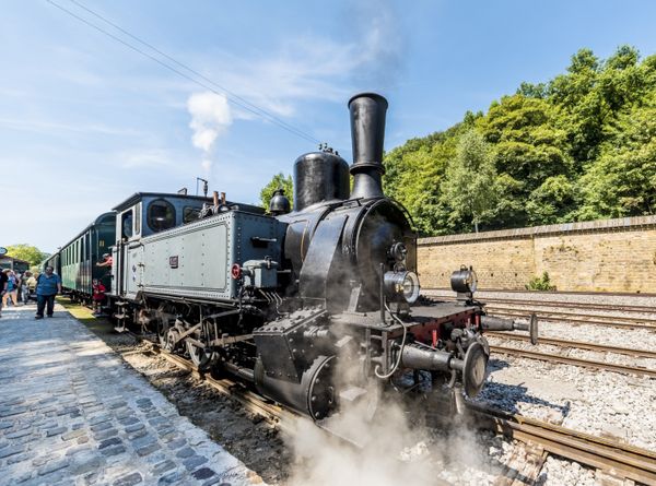
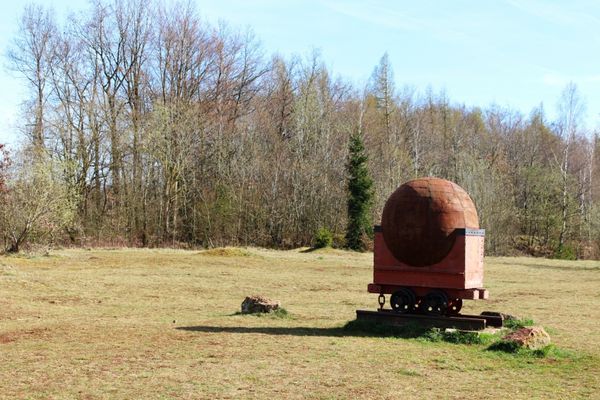
The south of Luxembourg and the landscape around Tetingen were shaped for decades by iron ore mining. Since there were no other buyers for the ore except the ironworks in Rümelingen in the Kay Valley itself, it had to be transported out of the valley. The Minettswee shows at various stations the path of the iron ore from the higher mining areas down to the railway lines leading out of the valley. Special highlights along the way are the restored brake house at the Laangenaker brake hill and the depiction of the situation at the Laangenaker quay, where the ore was tipped from the ore delivery wagons (buggis) onto the railway cars. Enjoy your circular route through the spectacular landscape of the former mining areas and delight in the views from the heights into the Kay Valley and of impressive red rock walls. We wish you much enjoyment.
© Administration Communale de Kayl
Equipment
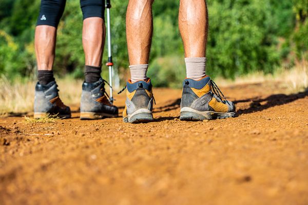
Please remember sturdy footwear and appropriate clothing in case of bad weather.
Journey
The Kayl-Tétange train station is just a few steps from the starting point.
Getting there:
The starting point at the parking lot of the "Schungfabrik" can be found by the "Schungfabrik" signage.
Parking:
There are several public parking spaces at the starting point.


 This website uses technology and content from the Outdooractive Platform.