©ORT Sud
Minett Germany France

Didactic path "De Saturn"

Hunting Season 2025/26 — Check for hunts

Autumn is here, and that means hunting season has begun! From mid-October to January/February, hunters are active across the country. Stay safe by checking hunt dates in your area on our Map. 

Click on Map in the Header > Services > More > Hunting.

Starting point

Stadion Jean Jacoby, Montée du Cimetière, 4149 Schifflange

Destination

Stadion Jean Jacoby, Montée du Cimetière, 4149 Schifflange

Distance
4,07 km
Duration
1:05 h
Difficulty
easy
  • Condition
Highest point
385 Hm
Lowest point
339 Hm
Aggregated Ascent
51 Hm
Aggregated Descent
51 Hm
Thematic paths Visit Luxembourg

Description

Kids & Family

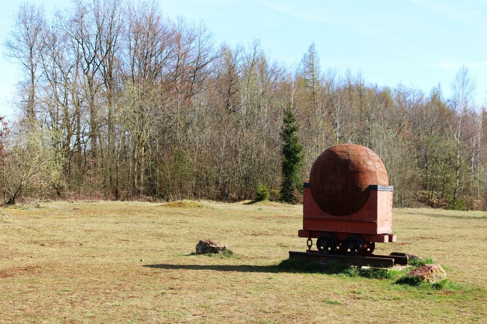
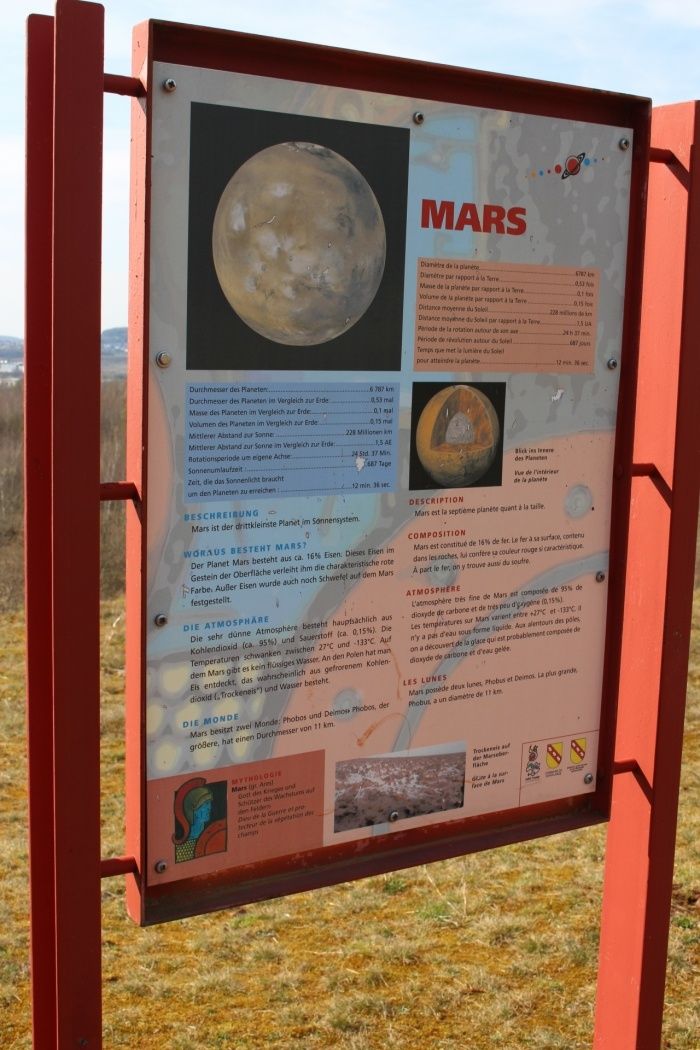
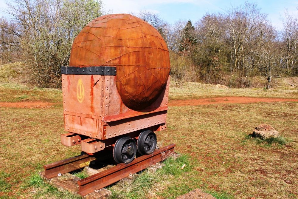
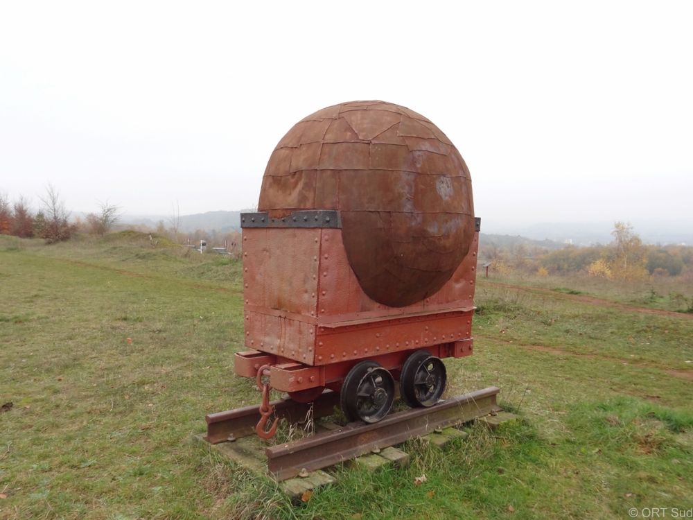
Learn more about our solar system on the planet educational route "De Saturn"

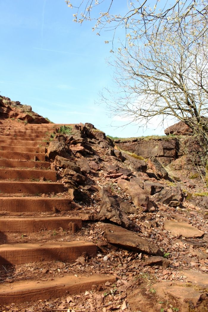
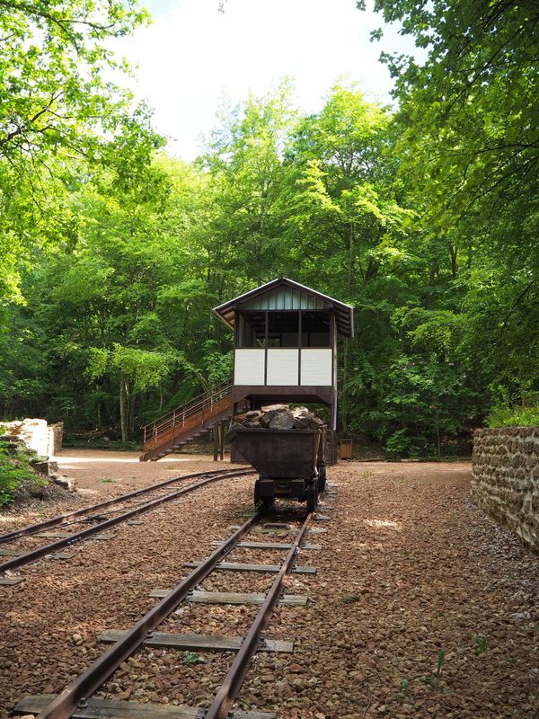
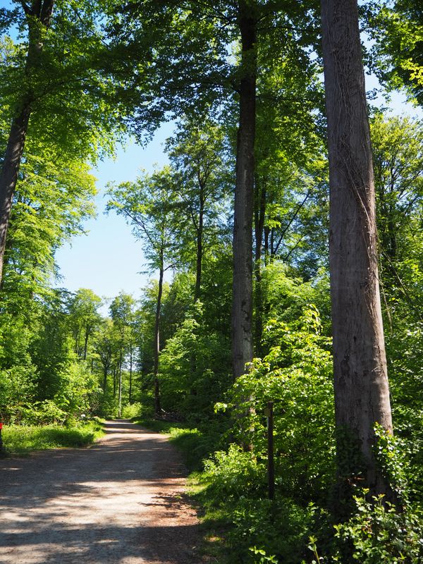
Embark on a planetary journey of 6 billion km. The educational route runs through the protected natural area "Lalléngerbierg - Brucherbierg" where between May and June you can admire a variety of orchids among other things. Furthermore, you will receive information about our solar system and ancient mythology.

Suggestions nearby

Didactic path "De Saturn"

  • ©Simpleviu
    Kabaisercher: Zirkuswon Schifflange
    Pets allowedGarden / Park
  • ©Pulsa Pictures_ORT SUD
    Nature reserve "Brucherbierg - Lallengerbierg"
    A unique walk among butterflies and orchids
    Find out more

Similar hiking tours

©ORT Sud
Circular routes
Local hiking route "Parc Le'h" - children’s route
Distance: 1,46 km
Duration: 0:25 h
Difficulty: easy
Find out more
©Ville de Dudelange, Ville de Dudelange
Circular routes
Local hiking trail Dudelange - "Buerfousswee"
Distance: 0,64 km
Duration: 0:10 h
Difficulty: easy
Find out more
©ORT Sud
Thematic paths
Educational trail “Felten's Pol säi Léierpad"
Distance: 1,80 km
Duration: 0:25 h
Difficulty: easy
Find out more
©Visit Luxembourg
Circular routes
Local hiking trail "Sentier de la Crosnière"
Distance: 3,74 km
Duration: 1:05 h
Difficulty: easy
Find out more
©ORT SUD
Minett Trail
Minett Trail: Belval-Université - Esch-sur-Alzette Gare (Alternative)
Distance: 4,00 km
Duration: 1:00 h
Difficulty: easy
Find out more
©Pulsa Pictures, ORT Sud
Circular routes
Auto-Pédestre trail Kayl
Distance: 5,88 km
Duration: 1:45 h
Difficulty: easy
Find out more
©Pulsa Pictures, ORT Sud
Circular routes
Auto-Pédestre trail Dudelange - Haard
Distance: 7,33 km
Duration: 2:00 h
Difficulty: easy
Find out more
©Visit Minett, Visit Minett
Circular routes
Didactic path “Beetebuerger Bësch"
Distance: 3,79 km
Duration: 1:00 h
Difficulty: easy
Find out more
©Pulsa Pictures, ORT SUD
Circular routes
Local hiking trail “Sentier des Poètes”
Distance: 6,93 km
Duration: 2:00 h
Difficulty: easy
Find out more
outdooractive This website uses technology and content from the Outdooractive Platform.