Description
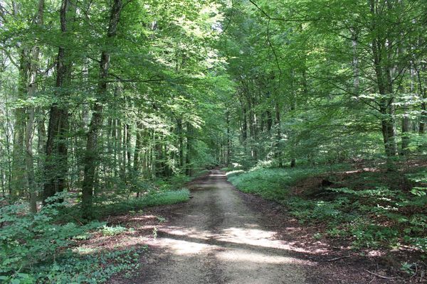
Hike a section of the European long-distance path network on the GR 570
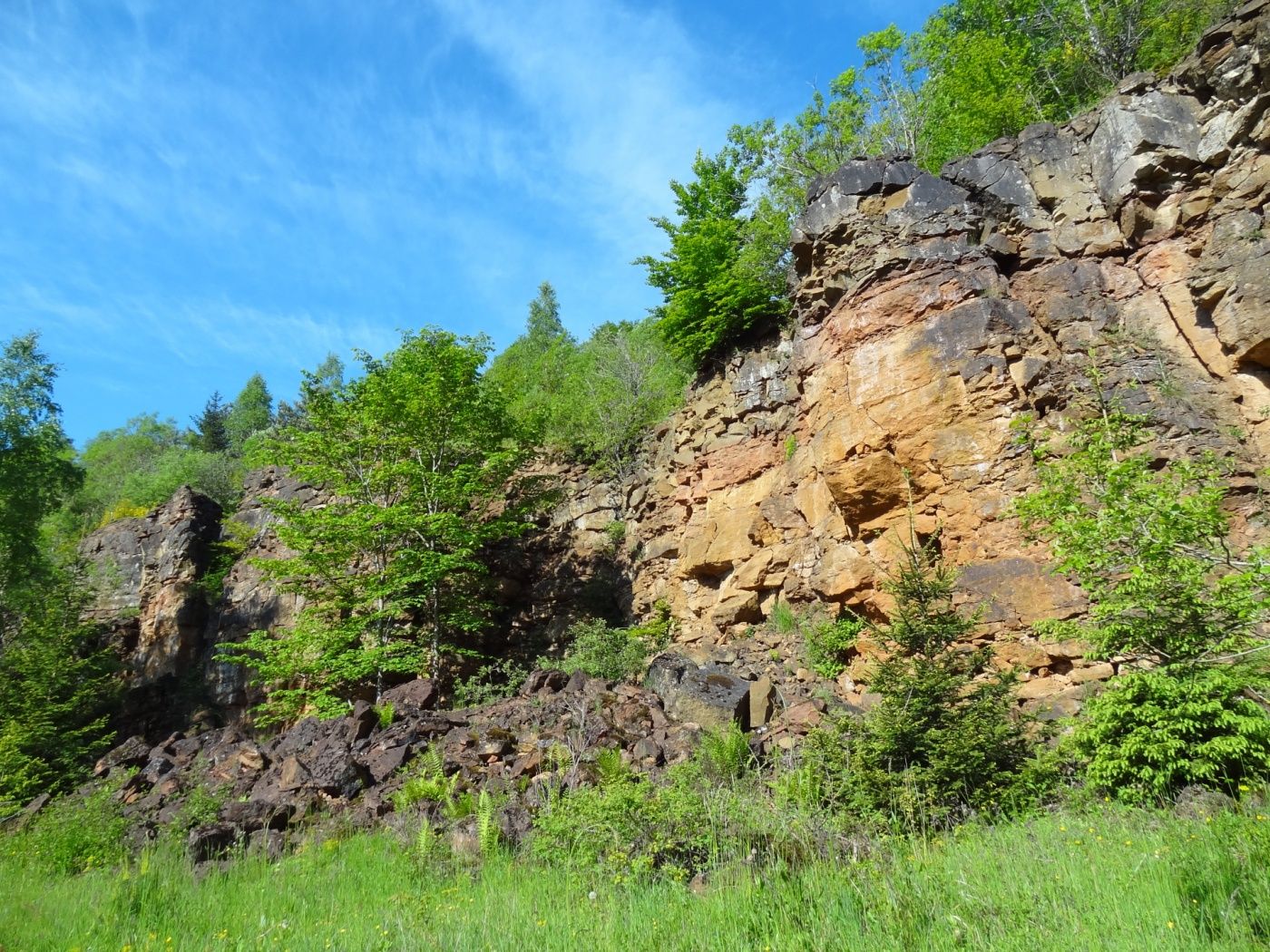
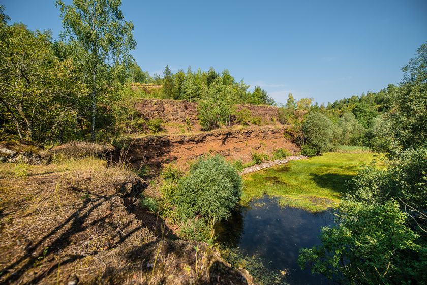
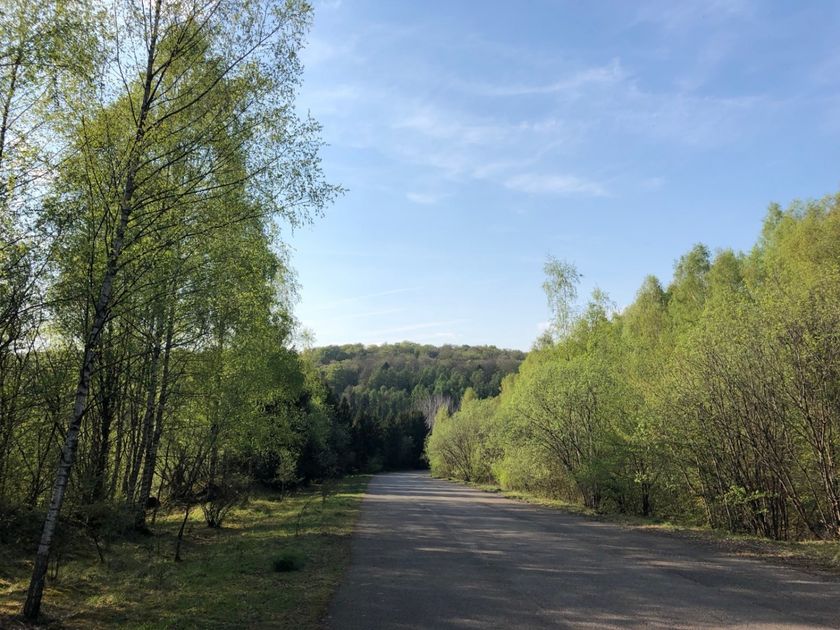
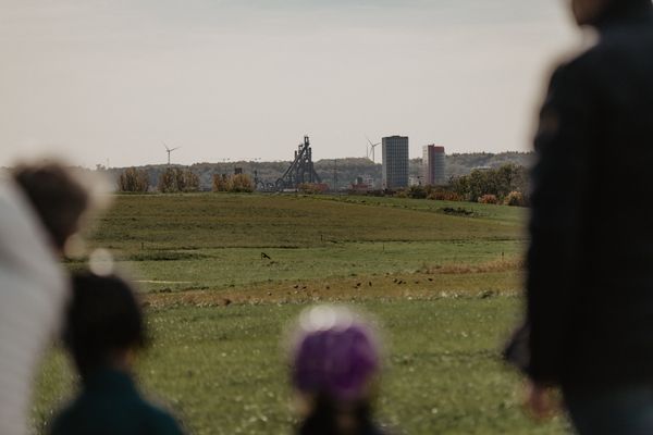
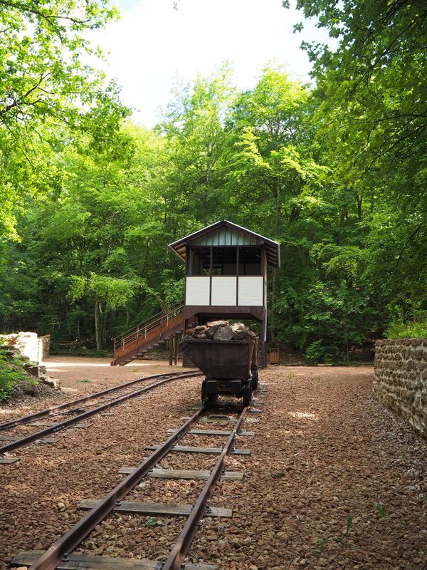
On this section of the European hiking trail, which runs from the Netherlands to the Mediterranean, you hike across the old industrial towns and villages of Pétange, Differdange, Oberkorn and Lasauvage crossing over the French border. Along the way, you will encounter several silent witnesses of the mining past and learn more about the eventful history of Luxembourg's industry. The old open-cast mining areas through which you walk are now nature reserves, and the whole region bears the UNESCO label "Man and the Biosphere".
Directions
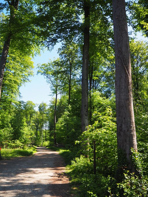
Follow the signposting "570"
For your safety
Remember to wear sturdy footwear and weatherproof clothing.
Equipment
Please remember to bring enough food and drinking water
Journey
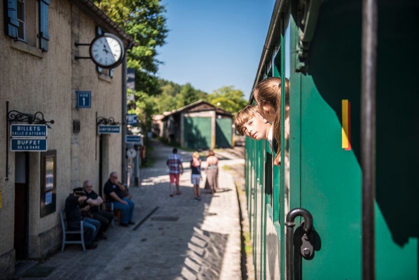
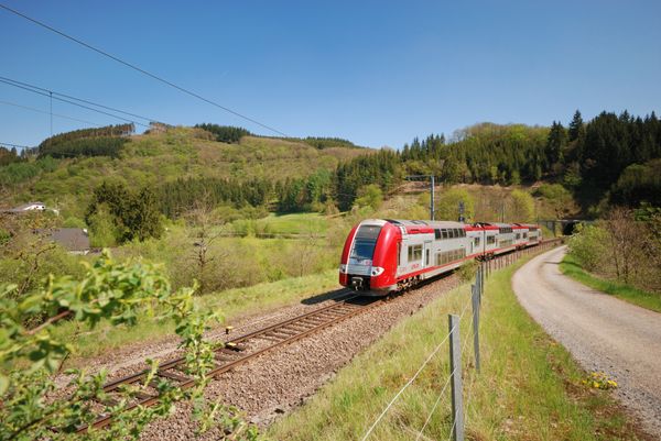
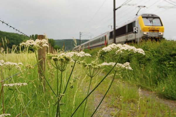
In Pétange, Differdange and Niedercorn, you can easily join the long-distance path within a short distance from the local train station.
Parking:
Parking spaces available on site in Lasauvage and Pétange.

 This website uses technology and content from the Outdooractive Platform.