Distance trails Visit Luxembourg
Description
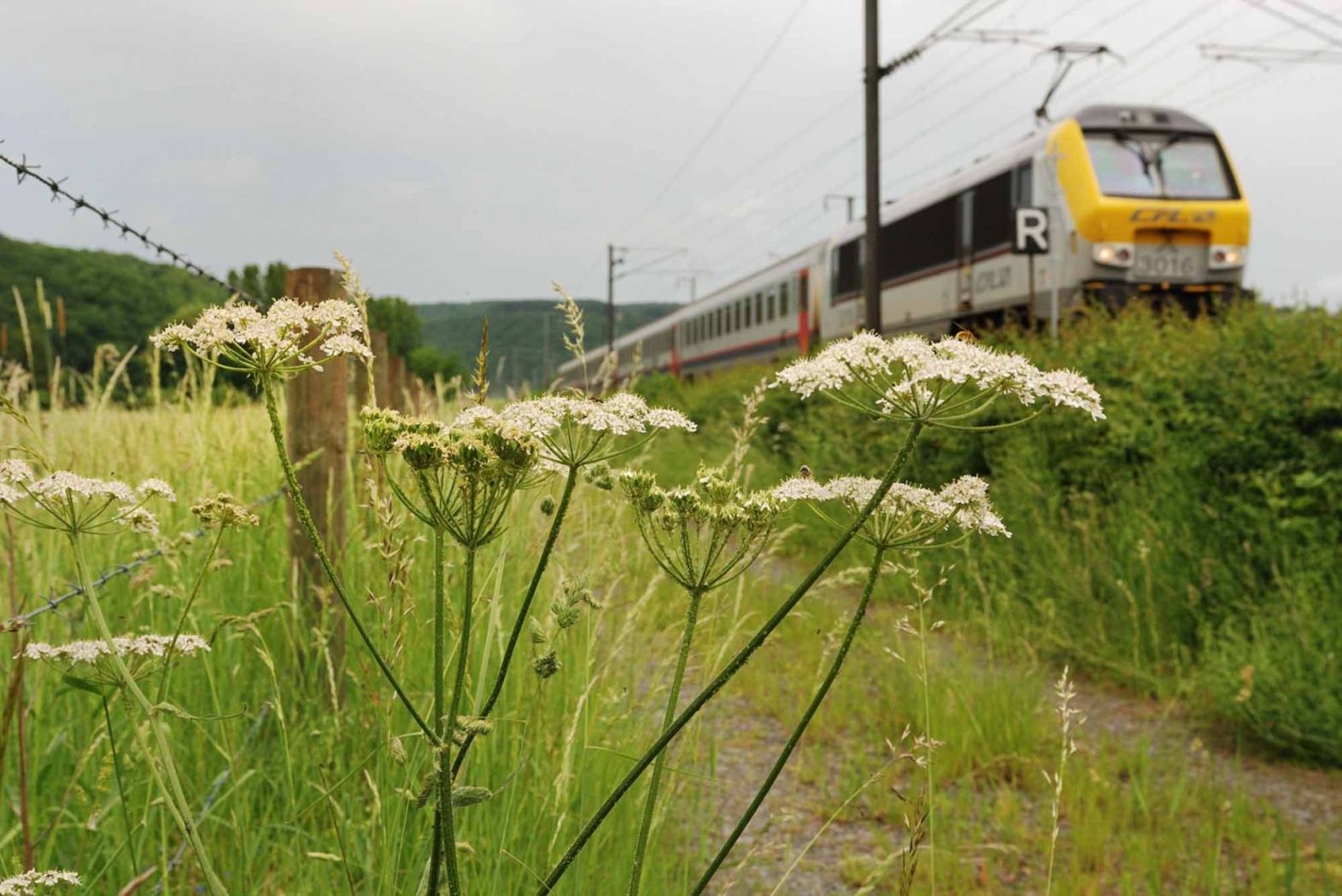
Hike from station to station between Dippach-Reckange and Leudelange
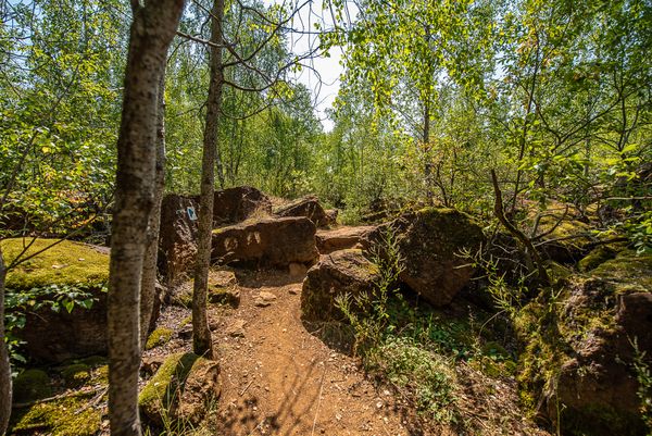
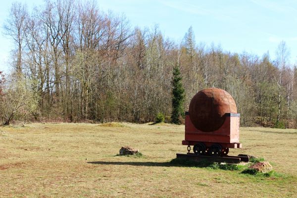
A pleasant hike, which in the first part passes Reckange-sur-Mess to the national cycle route PC9 Piste cyclable du Faubourg Minier. Further on, it crosses a villa district of Roedgen before the route, following forest paths along the Pétange - Luxembourg railway line, ends at Leudelange Gare station.
The route can also be taken by mountain bike if desired.
Directions
Please follow the signs marked "CFL"
For your safety
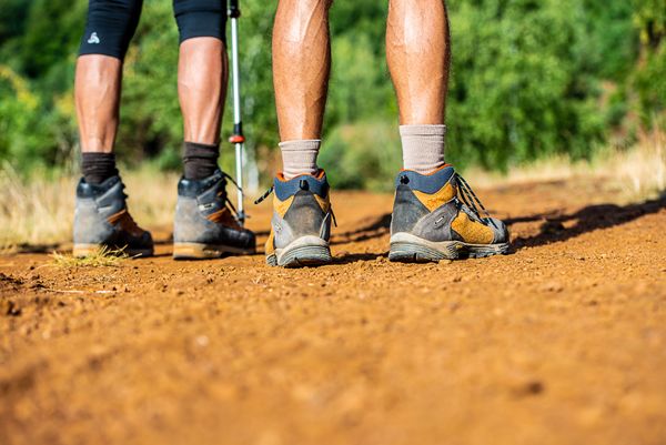
Remember sturdy footwear and weatherproof clothing.
Equipment
Please remember to bring enough food and drinking water for the journey.
Journey
Public transport:
Parking:
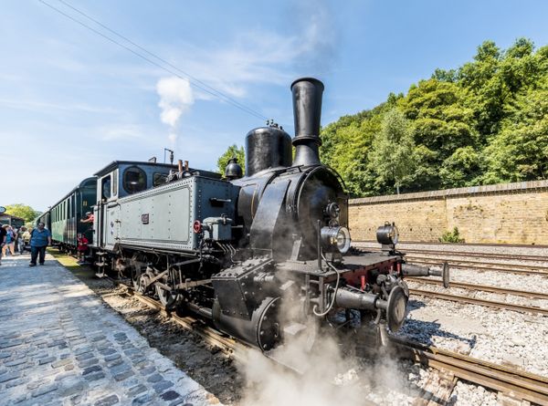
Start and end points are both train stations
Parking:
Public parking available on site


 This website uses technology and content from the Outdooractive Platform.