Description
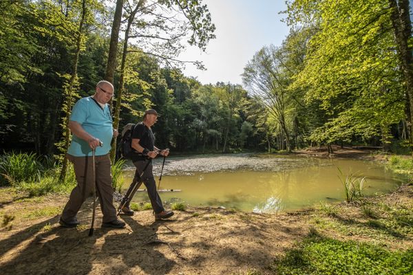
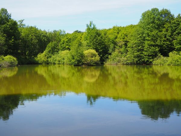
This local route leads through parts of Schifflange and along some sections of the "Minett Trail" and provides information at several stations about the water supply; wooden stations shaped like a water drop along the path also tell various legends and stories about the watercourses and ponds of the municipality.
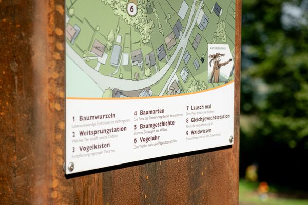
Signposting

Directions
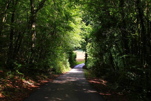
Follow the signage (green wavy line). The path also branches into a longer variant with more distance and elevation (blue wavy line). The official starting point is at Schifflange train station, but the route can also be started and ended at any other intermediate station along the way.
For your safety
Be careful when crossing busy streets
Equipment
Remember to bring plenty of provisions, sturdy footwear, and weather-appropriate clothing
Journey
The starting point is at Schifflange train station


 This website uses technology and content from the Outdooractive Platform.