Description
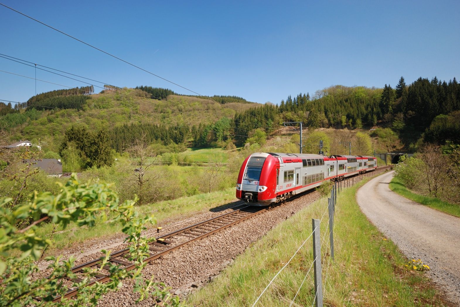
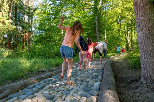
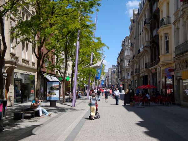
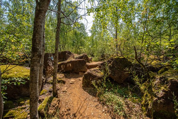
Short route with a few not too strenuous climbs. In the first part, the path leads through residential and industrial areas. The further route of the hike follows various cycle paths, mainly the PC6 Piste cyclable des Trois Cantons, which finally passes through a pleasant forest section.
This route can be combined with the CFL hiking paths 28, Oberkorn - Niederkorn (8.9 km) and 29, Niederkorn - Rodange (12 km).
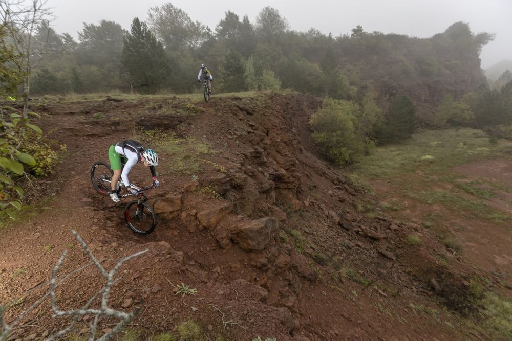
The route can also be cycled (mountain bike) if desired. However, caution is advised during the first kilometre (road traffic!).
Signposting
Directions
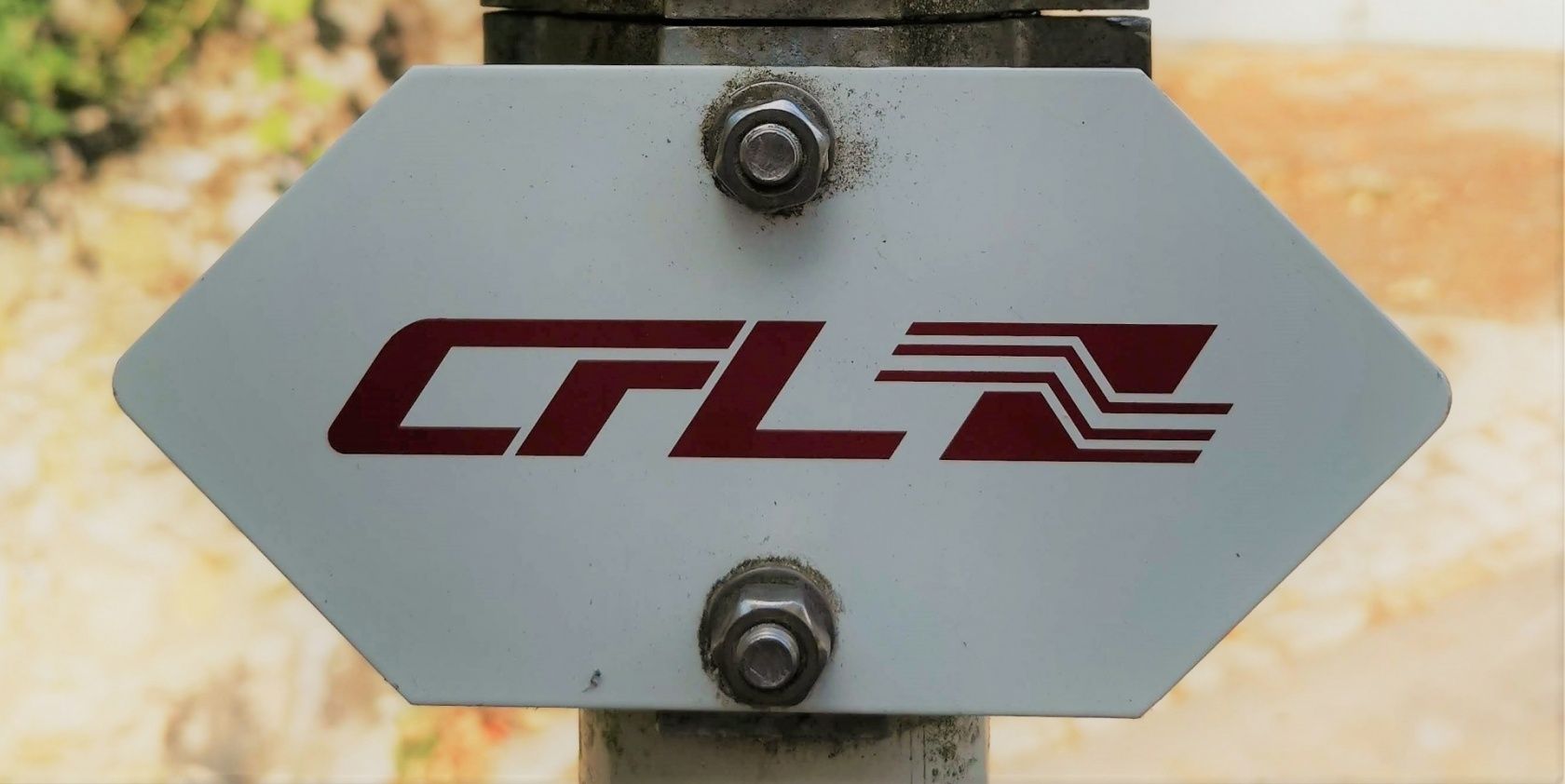
Please follow the signs labeled "CFL"
For your safety
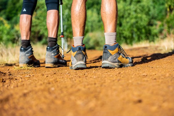
Remember to pack sturdy footwear and weatherproof clothing.
Equipment
Please remember to bring enough food and drinking water.
Journey
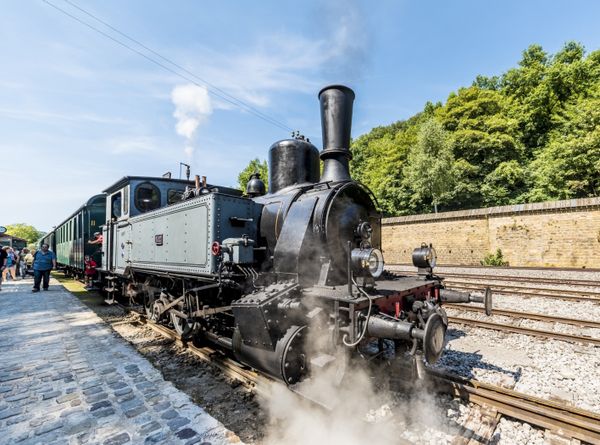
Both start and end points are accessible by train at the station
Parking:
Public parking spaces on site

 This website uses technology and content from the Outdooractive Platform.