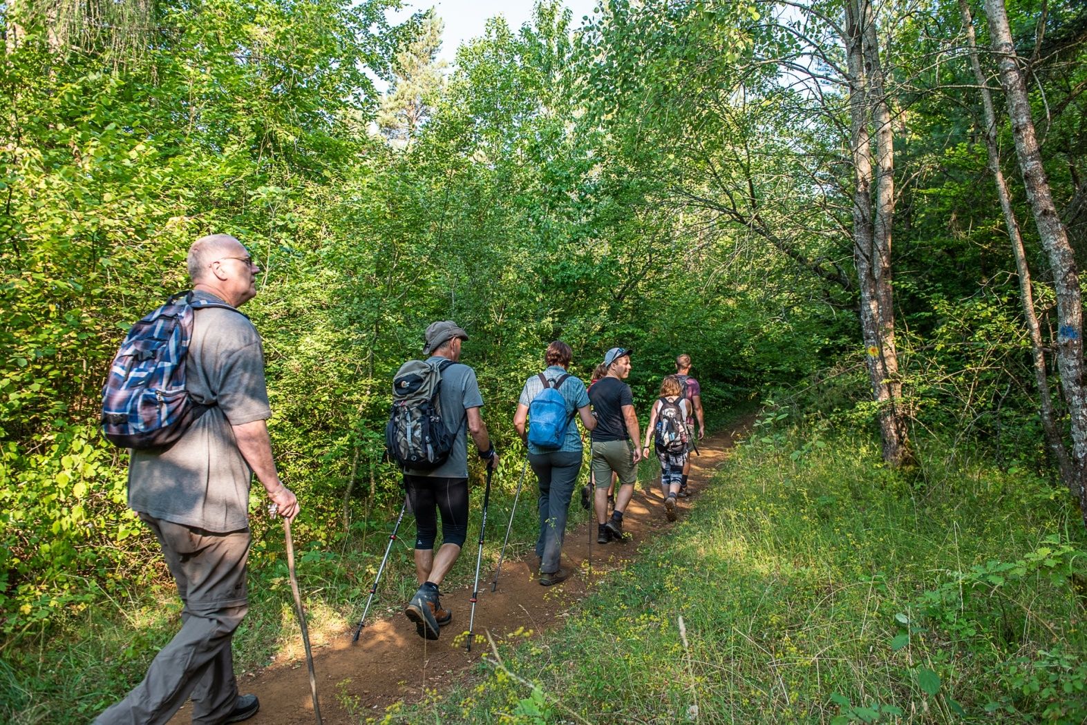
©Pulsa Pictures, ORT SUD
Minett Germany France

Circular route "Circuit transfrontalier de la Minette"

Starting point

Parking Boulodrome, 49 Rue Gare-Usines, 3481 Dudelange

Destination

Parking Boulodrome, 49 Rue Gare-Usines, 3481 Dudelange

Distance
9,54 km
Duration
2:35 h
Difficulty
medium
  • Condition
Highest point
439 Hm
Lowest point
300 Hm
Aggregated Ascent
213 Hm
Aggregated Descent
207 Hm
Circular routes Visit Luxembourg

Description

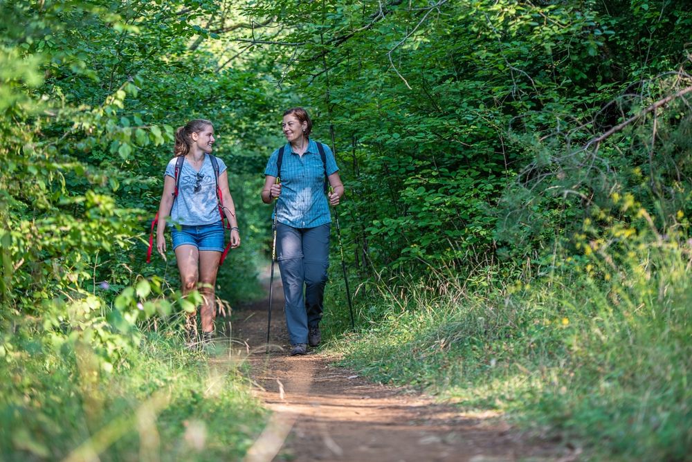
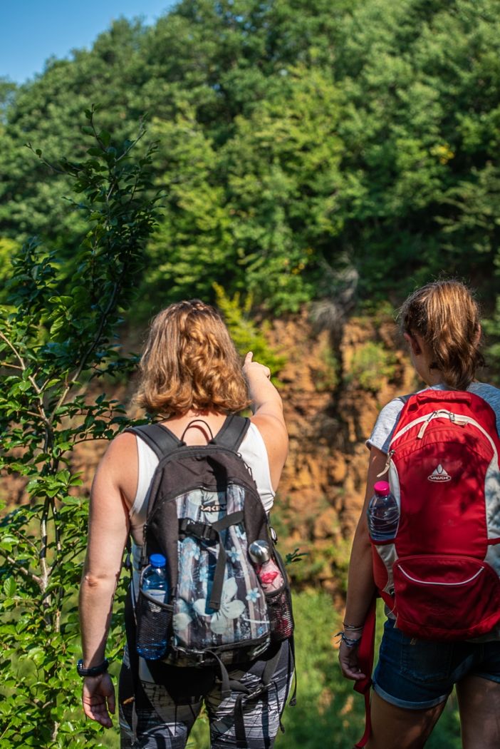
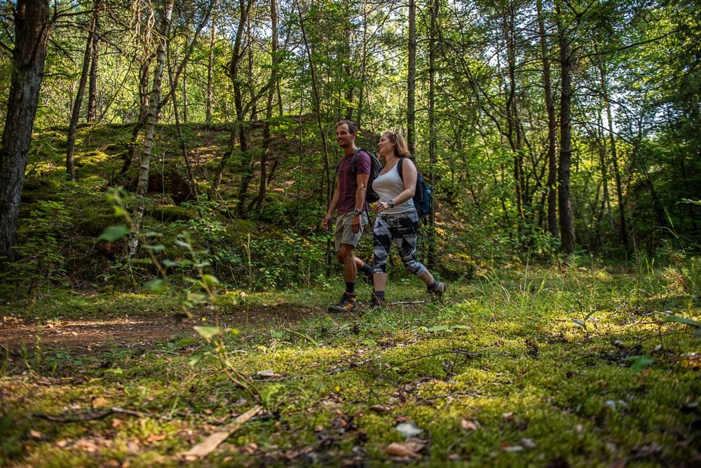
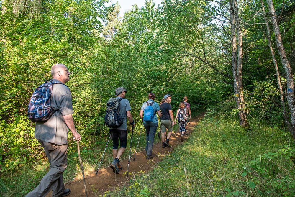
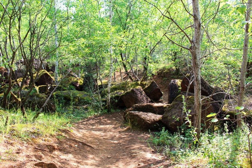
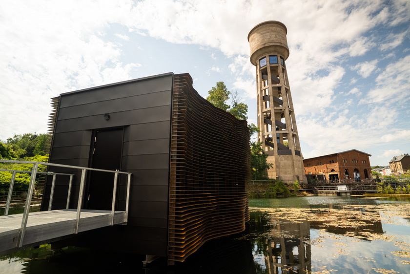
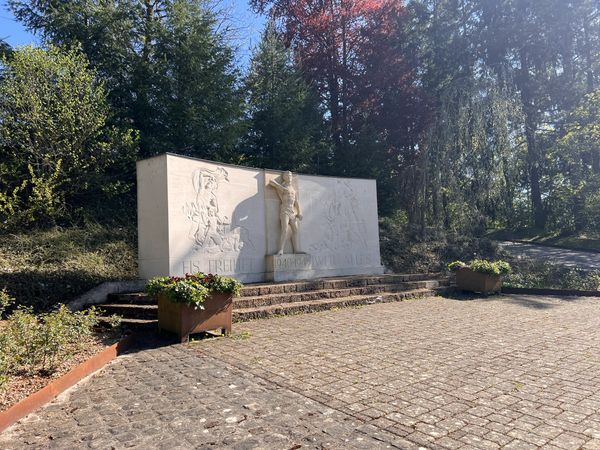
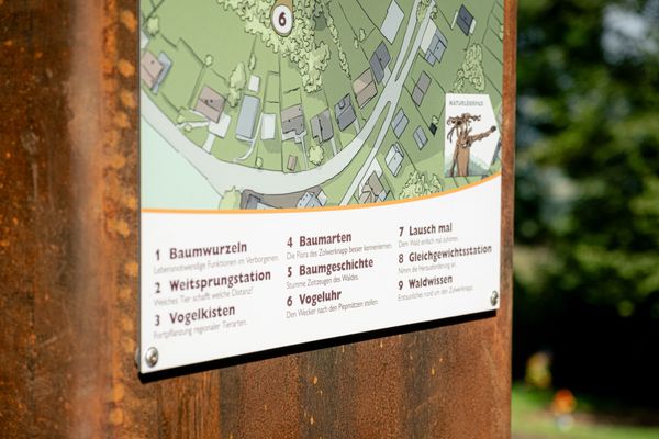
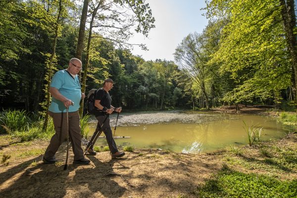
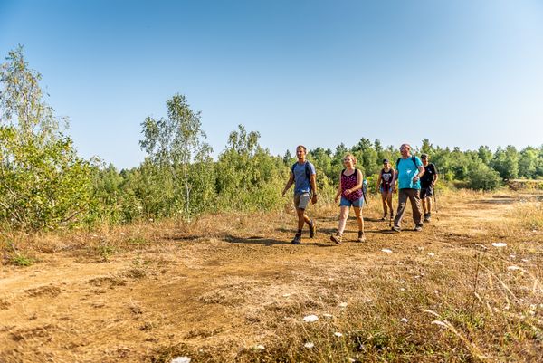
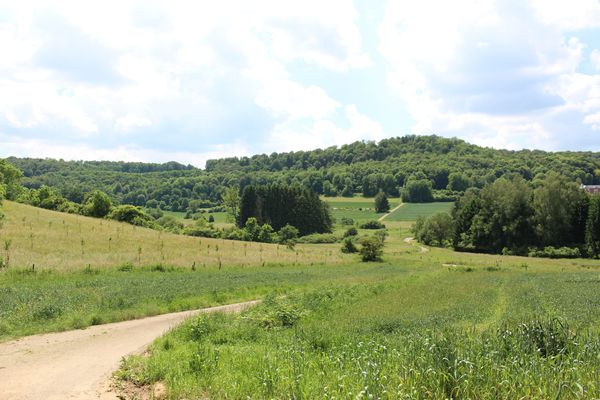
Discover the close ties between the municipalities of Dudelange and Volmerange-les-Mines in France on the cross-border circular route of the Minette.

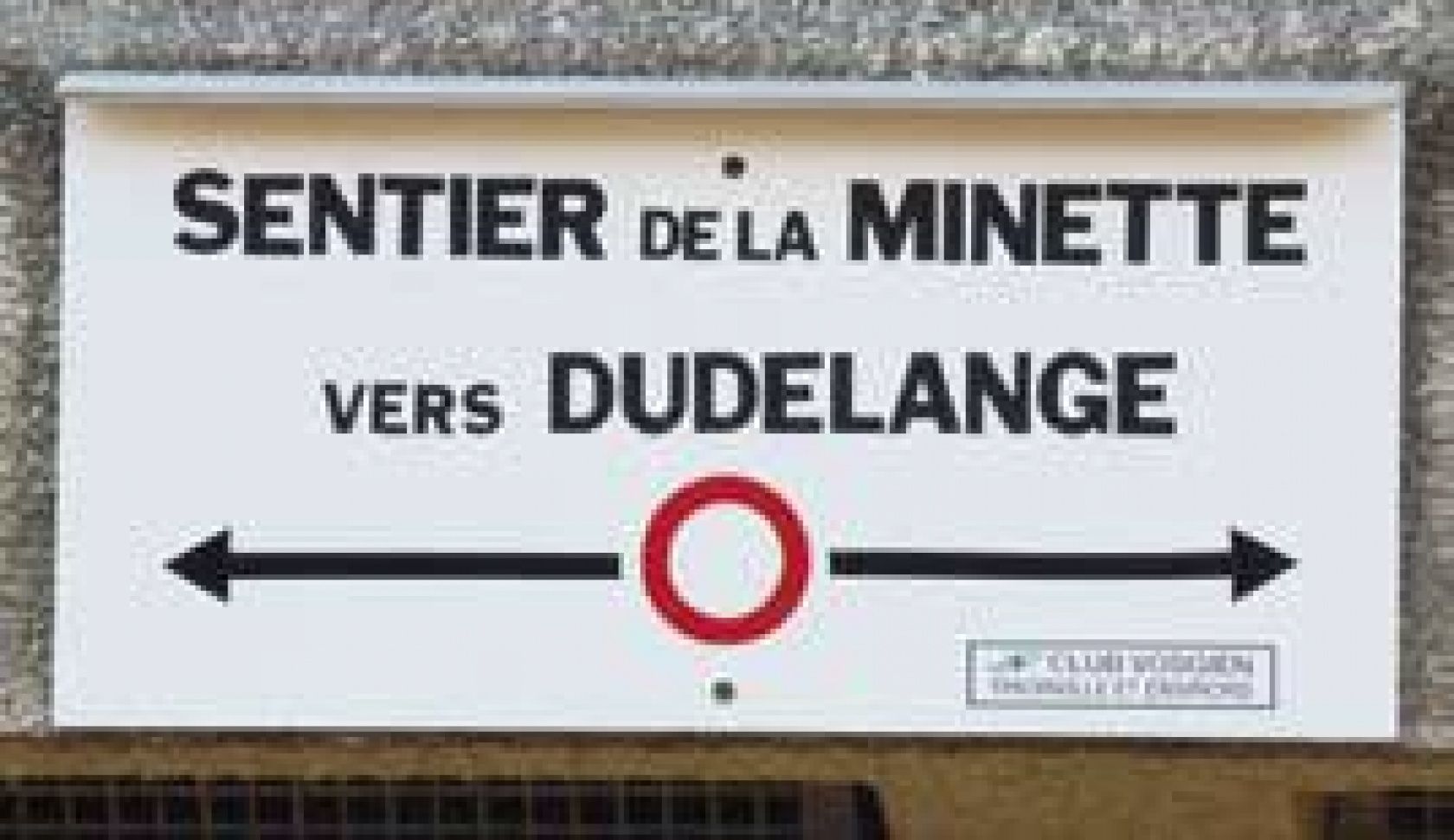
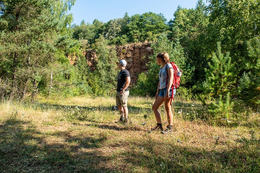
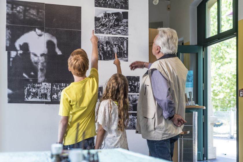
As part of a cross-border collaboration, which aims to promote tourism development, the city of Dudelange, the community of municipalities of Cattenom and the municipality of Volmerange-les-Mines have developed a cross-border pedestrian and mountain bike circuit entitled “le circuit de la Minette" (the circuit of the Minette). This path aims to strengthen the existing bonds between Dudelange and Volmerange-les-Mines as well as the relation between their inhabitants and hopes to value their history and common heritage of which the former open pit mines are a major element. The hiking and mountain-bike trail has been named “Sentier de la minette” (trail of the Minette), in memory of the exploitation of iron ore in this region. The bi-directional trail markings, a red ring on a white background developed by the Club Vosgien allows the loop road to be started from both Dudelange and Volmerange-le- Mines.

©Ville de Dudelange - Translation ORT Sud

Suggestions nearby

Circular route "Circuit transfrontalier de la Minette"

  • Nature reserve "Haard-Hesselsbierg-Staebierg"
    The largest nature reserve in the country
    Find out more
  • ©Pulsa pictures
    Documentation Centre for Human Migrations
    Migration history and the background of cultural diversity in Luxembourg - you will learn a lot here
    Find out more
  • ©Visit Minett
    Kabaisercher: Floater Dudelange
    AccessibleSituated in the centre of town

Similar hiking tours

©Visit Luxembourg
Distance trails
National hiking trail “South I"
Distance: 32,72 km
Duration: 9:25 h
Difficulty: medium
Find out more
©Visit Luxembourg
Distance trails
30 CFL hiking trails from station to station : Fond de Gras - Rodange
Distance: 17,78 km
Duration: 5:00 h
Difficulty: medium
Find out more
©ORT Sud
Circular routes
Auto-Pédestre trail Mondercange
Distance: 7,24 km
Duration: 1:50 h
Difficulty: medium
Find out more
©ORT Sud
Circular routes
Auto-Pédestre trail Schifflange
Distance: 7,65 km
Duration: 2:15 h
Difficulty: medium
Find out more
©Pulsa Pictures, ORT SUD
Circular routes
Didactic path "Haard-Hesselsbierg-Staebierg, S1"
Distance: 11,23 km
Duration: 3:00 h
Difficulty: medium
Find out more
©ORT Sud
Circular routes
Auto-Pédestre trail Belvaux
Distance: 8,66 km
Duration: 3:10 h
Difficulty: medium
Find out more
©Pulsa Pictures, ORT Sud
Circular routes
Auto-Pédestre trail Rumelange - Gare
Distance: 6,84 km
Duration: 2:05 h
Difficulty: medium
Find out more
©Pulsa Pictures, ORT SUD
Circular routes
Didactic path „Prënzebierg - Giele Botter"
Distance: 7,64 km
Duration: 2:10 h
Difficulty: medium
Find out more
©Pulsa Pictures, ORT SUD
Circular routes
Auto-Pédestre trail Pétange
Distance: 7,61 km
Duration: 2:05 h
Difficulty: medium
Find out more
outdooractive This website uses technology and content from the Outdooractive Platform.